
Easier access to scientific data

Brought to you by NOAA CoastWatch Great Lakes Node
|
ERDDAP
Easier access to scientific data |
|
Brought to you by NOAA CoastWatch Great Lakes Node |
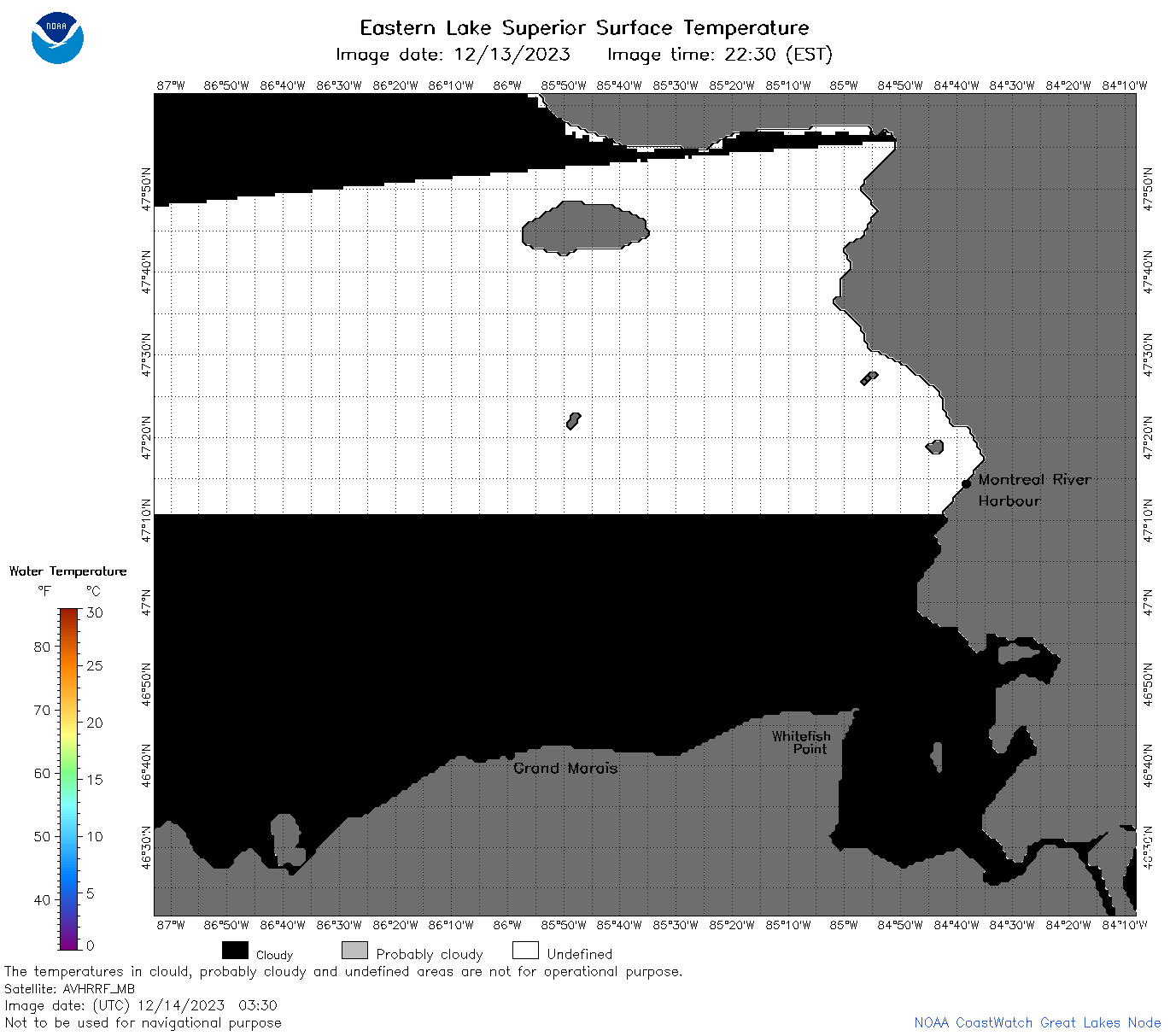
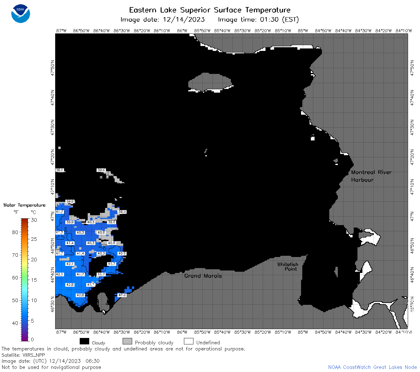
| Dataset Title: | Lake Superior Eastern Region Surface Temperature Contour Map (2022-present)


|
| Institution: | CoastWatch Great Lakes Node (Dataset ID: LS_NRT_TC_s3) |
| Information: | Summary
| License
| Metadata
| Background | Subset
| Data Access Form
| Make a graph
| Subset
| Data Access Form
| Make a graph
|
![[ICO]](https://apps.glerl.noaa.gov/erddap/images/fileIcons/blank.gif) | Name | Last modified | Size | Description |
|---|---|---|---|---|
![[DIR]](https://apps.glerl.noaa.gov/erddap/images/fileIcons/back.gif) | Parent Directory | - | - | |
![[IMG]](https://apps.glerl.noaa.gov/erddap/images/fileIcons/image2.gif)  | s3_2023_12_14_0100.png | 14-Dec-2023 07:26 | 34814 | |
 | s3_2023_12_14_0140.png | 14-Dec-2023 07:30 | 35181 | |
 | s3_2023_12_14_0150.png | 14-Dec-2023 07:34 | 32314 | |
 | s3_2023_12_14_0240.png | 14-Dec-2023 07:37 | 69046 | |
 | s3_2023_12_14_0320.png | 14-Dec-2023 07:41 | 61992 | |
 | s3_2023_12_14_0330.png | 14-Dec-2023 07:45 | 32370 | |
 | s3_2023_12_14_0630.png | 14-Dec-2023 11:26 | 38978 | |
 | s3_2023_12_14_0720.png | 14-Dec-2023 12:26 | 43874 | |
 | s3_2023_348.png | 15-Dec-2023 10:10 | 68013 | |