
Easier access to scientific data

Brought to you by NOAA CoastWatch Great Lakes Node
|
ERDDAP
Easier access to scientific data |
|
Brought to you by NOAA CoastWatch Great Lakes Node |
| Dataset Title: | Lake Superior Eastern Region Surface Temperature Contour Map (2022-present)


|
| Institution: | CoastWatch Great Lakes Node (Dataset ID: LS_NRT_TC_s3) |
| Information: | Summary
| License
| Metadata
| Background | Subset
| Data Access Form
| Make a graph
| Subset
| Data Access Form
| Make a graph
|
![[ICO]](https://apps.glerl.noaa.gov/erddap/images/fileIcons/blank.gif) | Name | Last modified | Size | Description |
|---|---|---|---|---|
![[DIR]](https://apps.glerl.noaa.gov/erddap/images/fileIcons/back.gif) | Parent Directory | - | - | |
![[IMG]](https://apps.glerl.noaa.gov/erddap/images/fileIcons/image2.gif) 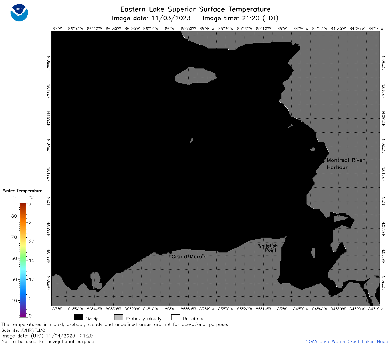 | s3_2023_11_04_0120.png | 04-Nov-2023 05:25 | 29424 | |
 | s3_2023_11_04_0130.png | 04-Nov-2023 05:28 | 52524 | |
 | s3_2023_11_04_0210.png | 04-Nov-2023 05:30 | 76455 | |
 | s3_2023_11_04_0300.png | 04-Nov-2023 06:25 | 29420 | |
 | s3_2023_11_04_0310.png | 04-Nov-2023 06:28 | 55082 | |
 | s3_2023_11_04_0350.png | 04-Nov-2023 06:30 | 29433 | |
 | s3_2023_11_04_0620.png | 04-Nov-2023 09:25 | 32285 | |
 | s3_2023_11_04_0630.png | 04-Nov-2023 09:28 | 66490 | |
 | s3_2023_308.png | 05-Nov-2023 10:10 | 79352 | |