
Easier access to scientific data

Brought to you by NOAA CoastWatch Great Lakes Node
|
ERDDAP
Easier access to scientific data |
|
Brought to you by NOAA CoastWatch Great Lakes Node |
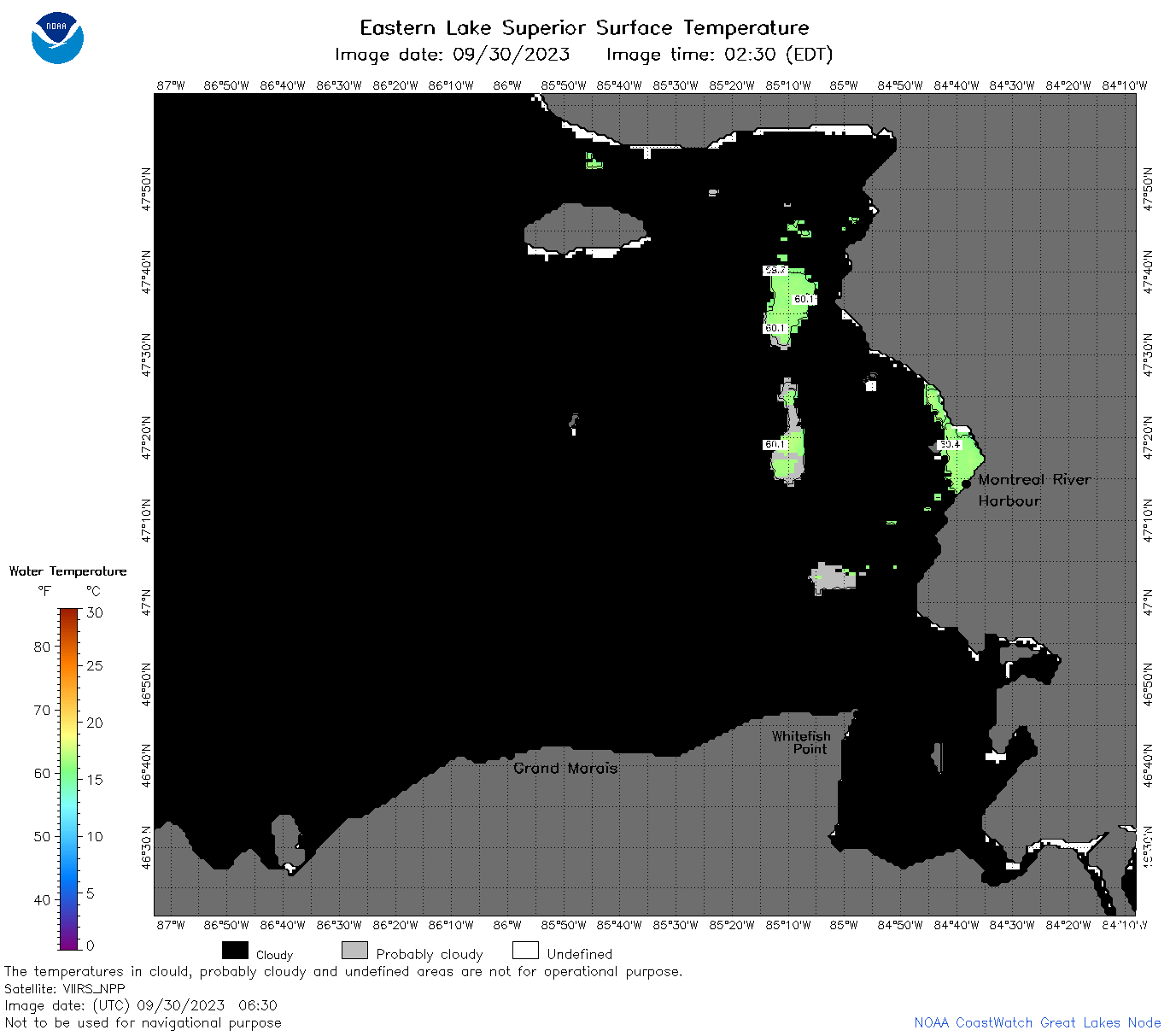
| Dataset Title: | Lake Superior Eastern Region Surface Temperature Contour Map (2022-present)


|
| Institution: | CoastWatch Great Lakes Node (Dataset ID: LS_NRT_TC_s3) |
| Information: | Summary
| License
| Metadata
| Background | Subset
| Data Access Form
| Make a graph
| Subset
| Data Access Form
| Make a graph
|
![[ICO]](https://apps.glerl.noaa.gov/erddap/images/fileIcons/blank.gif) | Name | Last modified | Size | Description |
|---|---|---|---|---|
![[DIR]](https://apps.glerl.noaa.gov/erddap/images/fileIcons/back.gif) | Parent Directory | - | - | |
![[IMG]](https://apps.glerl.noaa.gov/erddap/images/fileIcons/image2.gif)  | s3_2023_09_30_0150.png | 30-Sep-2023 09:28 | 86640 | |
 | s3_2023_09_30_0240.png | 30-Sep-2023 09:30 | 107633 | |
 | s3_2023_09_30_0330.png | 30-Sep-2023 09:32 | 48405 | |
 | s3_2023_09_30_0630.png | 30-Sep-2023 10:25 | 34001 | |
 | s3_2023_09_30_0810.png | 30-Sep-2023 12:25 | 39383 | |
 | s3_2023_273.png | 01-Oct-2023 09:10 | 64449 | |