
Easier access to scientific data

Brought to you by NOAA CoastWatch Great Lakes Node
|
ERDDAP
Easier access to scientific data |
|
Brought to you by NOAA CoastWatch Great Lakes Node |
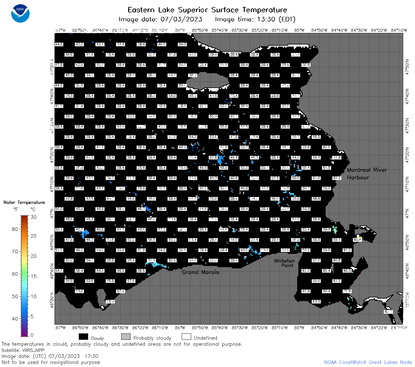
| Dataset Title: | Lake Superior Eastern Region Surface Temperature Contour Map (2022-present)


|
| Institution: | CoastWatch Great Lakes Node (Dataset ID: LS_NRT_TC_s3) |
| Information: | Summary
| License
| Metadata
| Background | Subset
| Data Access Form
| Make a graph
| Subset
| Data Access Form
| Make a graph
|
![[ICO]](https://apps.glerl.noaa.gov/erddap/images/fileIcons/blank.gif) | Name | Last modified | Size | Description |
|---|---|---|---|---|
![[DIR]](https://apps.glerl.noaa.gov/erddap/images/fileIcons/back.gif) | Parent Directory | - | - | |
![[IMG]](https://apps.glerl.noaa.gov/erddap/images/fileIcons/image2.gif)  | s3_2023_07_03_0140.png | 03-Jul-2023 05:25 | 42946 | |
 | s3_2023_07_03_0230.png | 03-Jul-2023 05:28 | 42951 | |
 | s3_2023_07_03_0320.png | 03-Jul-2023 06:26 | 42423 | |
 | s3_2023_07_03_0650.png | 03-Jul-2023 10:27 | 43754 | |
 | s3_2023_07_03_0740.png | 03-Jul-2023 11:25 | 45470 | |
 | s3_2023_07_03_0830.png | 03-Jul-2023 11:28 | 43509 | |
 | s3_2023_07_03_1450.png | 03-Jul-2023 19:26 | 46414 | |
 | s3_2023_07_03_1530.png | 03-Jul-2023 19:28 | 59432 | |
 | s3_2023_07_03_1630.png | 03-Jul-2023 20:26 | 51625 | |
 | s3_2023_07_03_1730.png | 03-Jul-2023 20:32 | 49755 | |
 | s3_2023_07_03_1820.png | 03-Jul-2023 21:26 | 61917 | |
 | s3_2023_07_03_1910.png | 03-Jul-2023 23:26 | 53023 | |
 | s3_2023_184.png | 04-Jul-2023 09:10 | 103712 | |