
Easier access to scientific data

Brought to you by NOAA CoastWatch Great Lakes Node
|
ERDDAP
Easier access to scientific data |
|
Brought to you by NOAA CoastWatch Great Lakes Node |
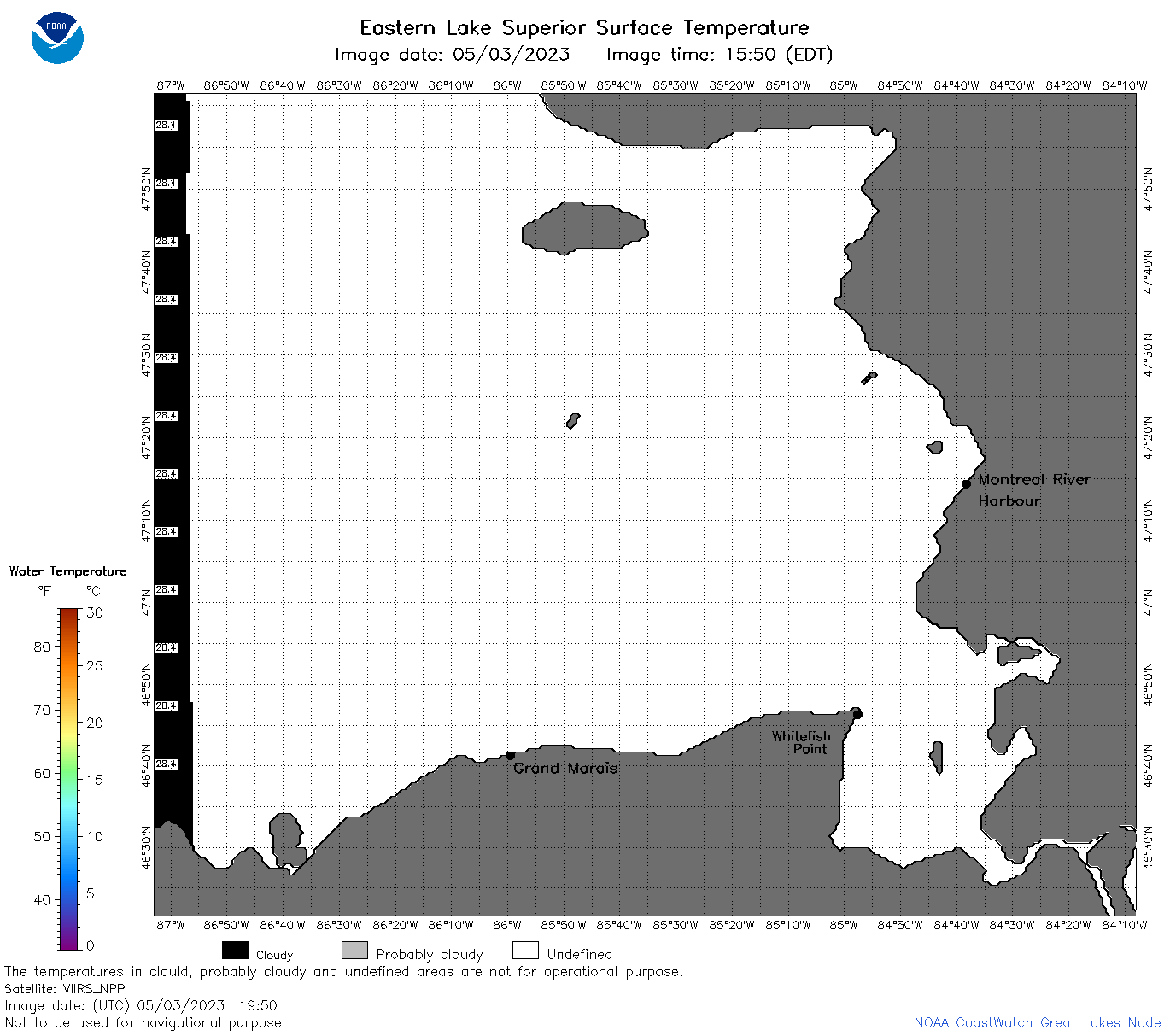
| Dataset Title: | Lake Superior Eastern Region Surface Temperature Contour Map (2022-present)


|
| Institution: | CoastWatch Great Lakes Node (Dataset ID: LS_NRT_TC_s3) |
| Information: | Summary
| License
| Metadata
| Background | Subset
| Data Access Form
| Make a graph
| Subset
| Data Access Form
| Make a graph
|
![[ICO]](https://apps.glerl.noaa.gov/erddap/images/fileIcons/blank.gif) | Name | Last modified | Size | Description |
|---|---|---|---|---|
![[DIR]](https://apps.glerl.noaa.gov/erddap/images/fileIcons/back.gif) | Parent Directory | - | - | |
![[IMG]](https://apps.glerl.noaa.gov/erddap/images/fileIcons/image2.gif)  | s3_2023_05_03_0150.png | 03-May-2023 05:27 | 35384 | |
 | s3_2023_05_03_0200.png | 03-May-2023 05:29 | 100743 | |
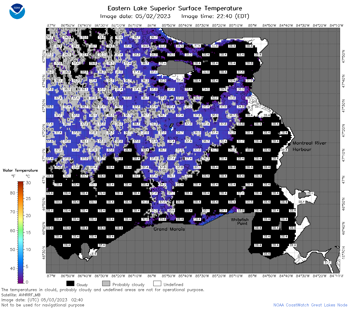 | s3_2023_05_03_0240.png | 03-May-2023 05:31 | 108997 | |
 | s3_2023_05_03_0340.png | 03-May-2023 06:28 | 71620 | |
 | s3_2023_05_03_0650.png | 03-May-2023 10:25 | 93596 | |
 | s3_2023_05_03_0740.png | 03-May-2023 10:29 | 92670 | |
 | s3_2023_05_03_0830.png | 03-May-2023 12:25 | 92906 | |
 | s3_2023_05_03_1500.png | 03-May-2023 18:27 | 60229 | |
 | s3_2023_05_03_1550.png | 03-May-2023 20:25 | 78039 | |
 | s3_2023_05_03_1640.png | 03-May-2023 19:25 | 64854 | |
 | s3_2023_05_03_1720.png | 03-May-2023 20:28 | 84837 | |
 | s3_2023_05_03_1810.png | 03-May-2023 21:27 | 92702 | |
 | s3_2023_05_03_1900.png | 03-May-2023 21:29 | 85442 | |
 | s3_2023_05_03_1950.png | 03-May-2023 22:25 | 35751 | |
 | s3_2023_123.png | 04-May-2023 19:51 | 64194 | |