
Easier access to scientific data

Brought to you by NOAA CoastWatch Great Lakes Node
|
ERDDAP
Easier access to scientific data |
|
Brought to you by NOAA CoastWatch Great Lakes Node |
| Dataset Title: | Lake Superior Eastern Region Surface Temperature Contour Map (2022-present)


|
| Institution: | CoastWatch Great Lakes Node (Dataset ID: LS_NRT_TC_s3) |
| Information: | Summary
| License
| Metadata
| Background | Subset
| Data Access Form
| Make a graph
| Subset
| Data Access Form
| Make a graph
|
![[ICO]](https://apps.glerl.noaa.gov/erddap/images/fileIcons/blank.gif) | Name | Last modified | Size | Description |
|---|---|---|---|---|
![[DIR]](https://apps.glerl.noaa.gov/erddap/images/fileIcons/back.gif) | Parent Directory | - | - | |
![[IMG]](https://apps.glerl.noaa.gov/erddap/images/fileIcons/image2.gif) 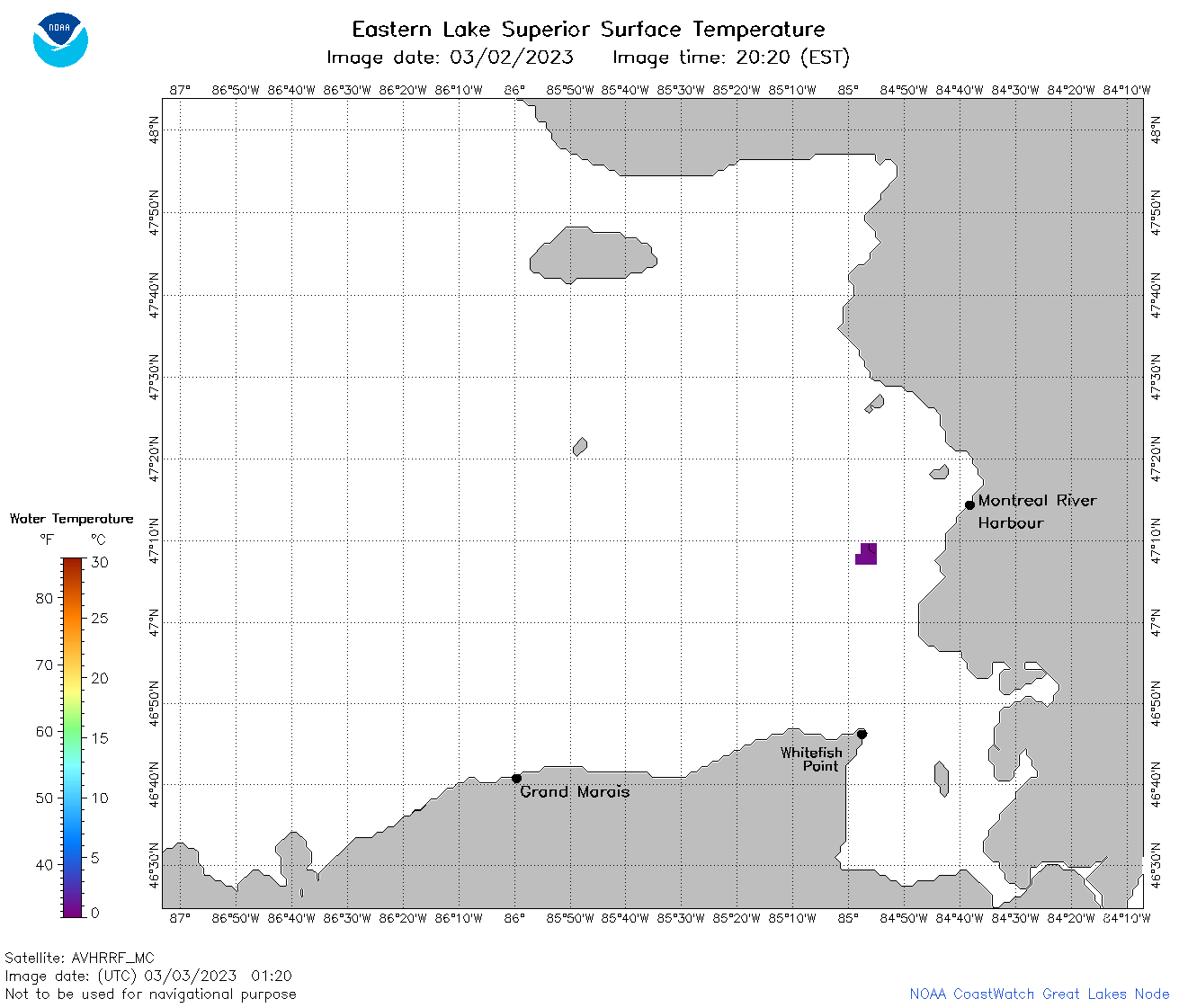 | s3_2023_03_03_0120.png | 03-Mar-2023 06:24 | 32225 | |
 | s3_2023_03_03_0210.png | 03-Mar-2023 06:26 | 35900 | |
 | s3_2023_03_03_0300.png | 03-Mar-2023 06:26 | 42720 | |
 | s3_2023_03_03_0350.png | 03-Mar-2023 06:28 | 39114 | |
 | s3_2023_03_03_0640.png | 03-Mar-2023 10:24 | 63086 | |
 | s3_2023_03_03_0730.png | 03-Mar-2023 11:24 | 57192 | |
 | s3_2023_03_03_0820.png | 03-Mar-2023 11:25 | 59898 | |
 | s3_2023_03_03_0910.png | 03-Mar-2023 13:24 | 53324 | |
 | s3_2023_03_03_1510.png | 03-Mar-2023 19:24 | 33253 | |
 | s3_2023_03_03_1600.png | 03-Mar-2023 19:25 | 33907 | |
 | s3_2023_03_03_1650.png | 03-Mar-2023 21:24 | 32636 | |
 | s3_2023_03_03_1720.png | 03-Mar-2023 21:25 | 32697 | |
 | s3_2023_03_03_1810.png | 03-Mar-2023 21:25 | 33354 | |
 | s3_2023_03_03_1900.png | 03-Mar-2023 21:26 | 35374 | |
 | s3_2023_03_03_1950.png | 03-Mar-2023 22:24 | 32767 | |
 | s3_2023_062.png | 04-Mar-2023 10:10 | 73077 | |