
Easier access to scientific data

Brought to you by NOAA CoastWatch Great Lakes Node
|
ERDDAP
Easier access to scientific data |
|
Brought to you by NOAA CoastWatch Great Lakes Node |
| Dataset Title: | Lake Superior Eastern Region Surface Temperature Contour Map (2022-present)


|
| Institution: | CoastWatch Great Lakes Node (Dataset ID: LS_NRT_TC_s3) |
| Information: | Summary
| License
| Metadata
| Background | Subset
| Data Access Form
| Make a graph
| Subset
| Data Access Form
| Make a graph
|
![[ICO]](https://apps.glerl.noaa.gov/erddap/images/fileIcons/blank.gif) | Name | Last modified | Size | Description |
|---|---|---|---|---|
![[DIR]](https://apps.glerl.noaa.gov/erddap/images/fileIcons/back.gif) | Parent Directory | - | - | |
![[IMG]](https://apps.glerl.noaa.gov/erddap/images/fileIcons/image2.gif)  | s3_2023_02_06_0130.png | 06-Feb-2023 06:24 | 33534 | |
 | s3_2023_02_06_0220.png | 06-Feb-2023 06:25 | 34419 | |
 | s3_2023_02_06_0310.png | 06-Feb-2023 06:26 | 33366 | |
 | s3_2023_02_06_0700.png | 06-Feb-2023 11:24 | 33375 | |
 | s3_2023_02_06_0750.png | 06-Feb-2023 10:24 | 32623 | |
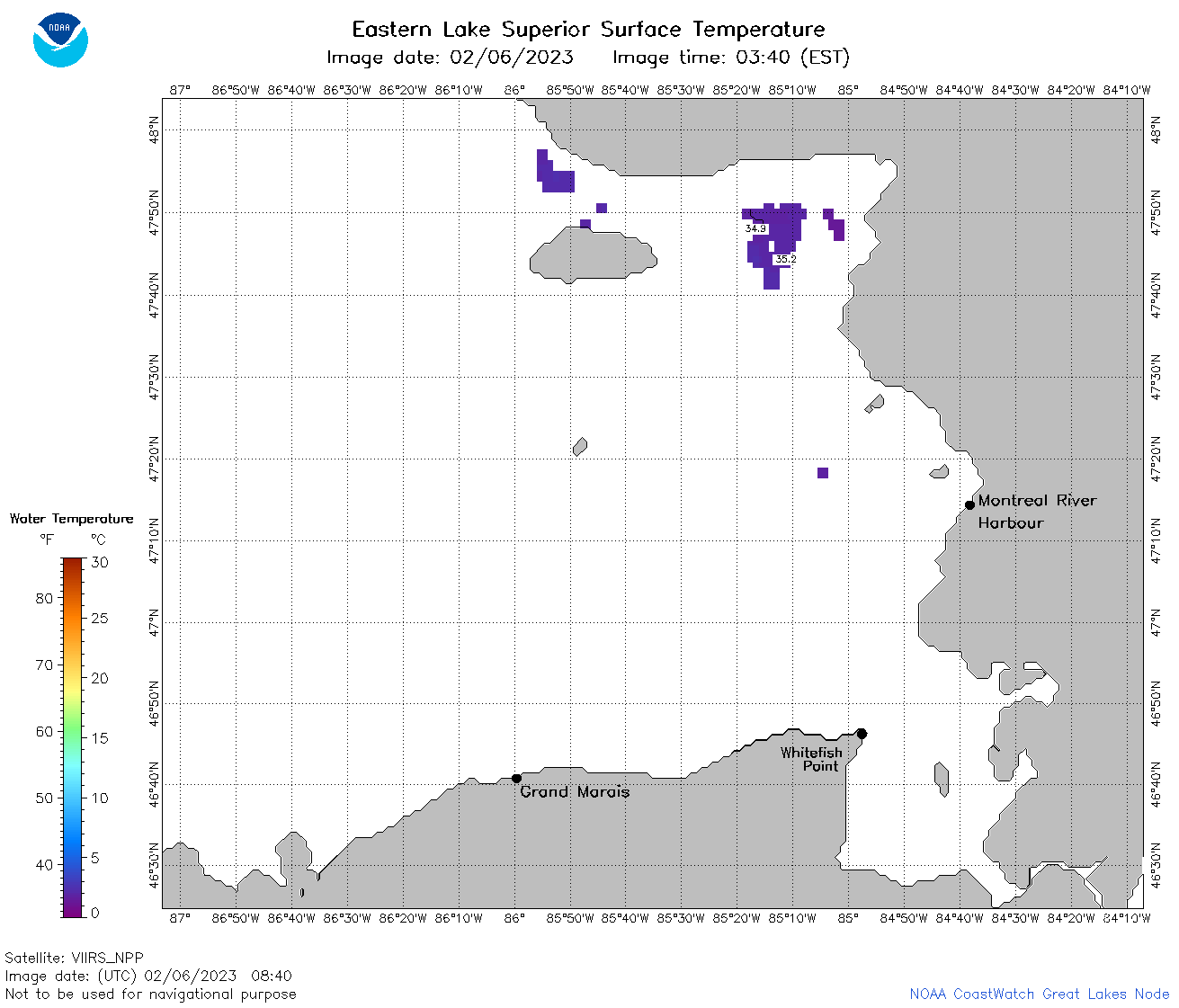 | s3_2023_02_06_0840.png | 06-Feb-2023 12:24 | 32805 | |
 | s3_2023_02_06_1530.png | 06-Feb-2023 20:25 | 32423 | |
 | s3_2023_02_06_1620.png | 06-Feb-2023 20:25 | 32532 | |
 | s3_2023_02_06_1730.png | 06-Feb-2023 20:26 | 32656 | |
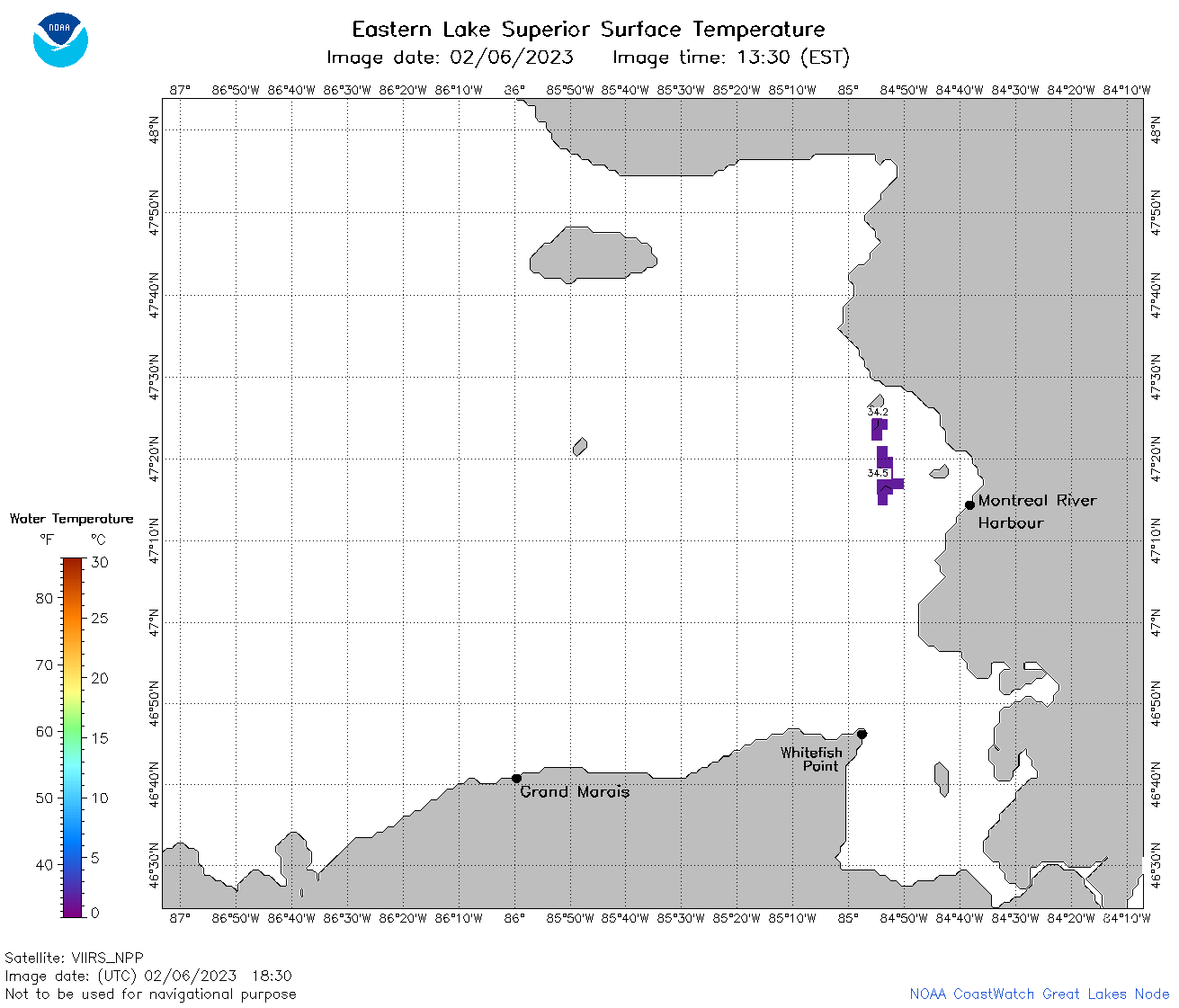 | s3_2023_02_06_1830.png | 06-Feb-2023 23:24 | 32689 | |
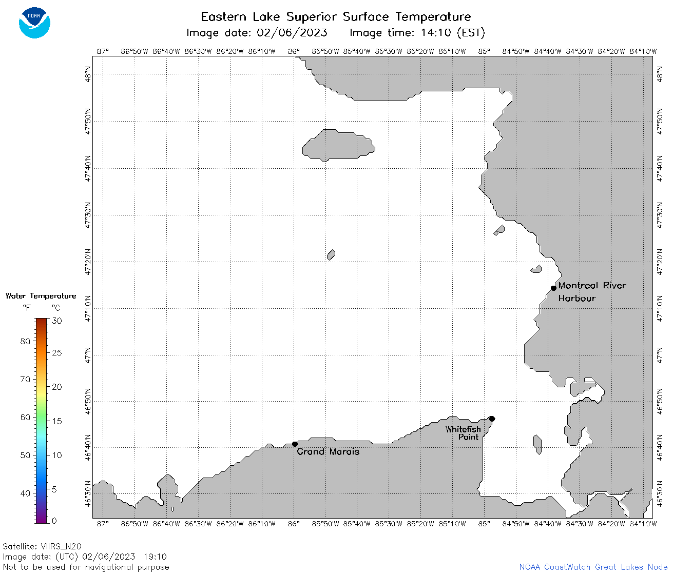 | s3_2023_02_06_1910.png | 06-Feb-2023 22:24 | 32332 | |
 | s3_2023_037.png | 07-Feb-2023 10:10 | 74408 | |