
Easier access to scientific data

Brought to you by NOAA CoastWatch Great Lakes Node
|
ERDDAP
Easier access to scientific data |
|
Brought to you by NOAA CoastWatch Great Lakes Node |
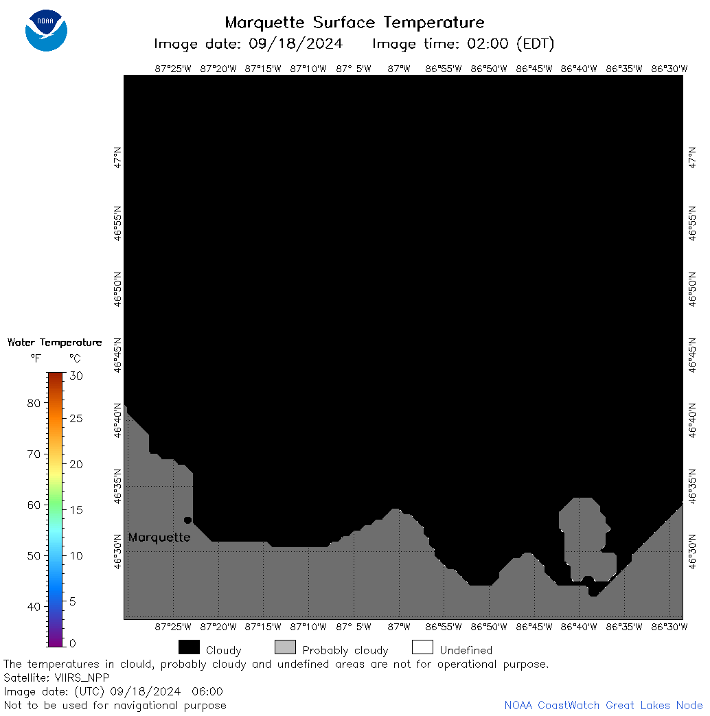
| Dataset Title: | Lake Superior Marquette Surface Temperature Contour Map (2022-present)


|
| Institution: | CoastWatch Great Lakes Node (Dataset ID: LS_NRT_TC_s24) |
| Information: | Summary
| License
| Metadata
| Background | Subset
| Data Access Form
| Make a graph
| Subset
| Data Access Form
| Make a graph
|
![[ICO]](https://apps.glerl.noaa.gov/erddap/images/fileIcons/blank.gif) | Name | Last modified | Size | Description |
|---|---|---|---|---|
![[DIR]](https://apps.glerl.noaa.gov/erddap/images/fileIcons/back.gif) | Parent Directory | - | - | |
![[IMG]](https://apps.glerl.noaa.gov/erddap/images/fileIcons/image2.gif)  | s24_2024_09_18_0130.png | 18-Sep-2024 20:32 | 51142 | |
 | s24_2024_09_18_0210.png | 18-Sep-2024 22:35 | 40067 | |
 | s24_2024_09_18_0220.png | 18-Sep-2024 22:38 | 20828 | |
 | s24_2024_09_18_0310.png | 18-Sep-2024 22:40 | 52252 | |
 | s24_2024_09_18_0350.png | 18-Sep-2024 16:33 | 22421 | |
 | s24_2024_09_18_0400.png | 18-Sep-2024 16:35 | 20866 | |
 | s24_2024_09_18_0550.png | 18-Sep-2024 12:33 | 20846 | |
 | s24_2024_09_18_0600.png | 18-Sep-2024 13:32 | 20845 | |
 | s24_2024_09_18_0620.png | 18-Sep-2024 12:36 | 22185 | |
 | s24_2024_09_18_0920.png | 18-Sep-2024 23:32 | 22399 | |
 | s24_2024_09_18_0940.png | 18-Sep-2024 22:42 | 20854 | |
 | s24_2024_09_18_1520.png | 19-Sep-2024 01:32 | 49963 | |
 | s24_2024_09_18_1610.png | 19-Sep-2024 02:32 | 53898 | |
 | s24_2024_09_18_1700.png | 19-Sep-2024 03:32 | 47573 | |
 | s24_2024_262.png | 19-Sep-2024 09:16 | 38646 | |