
Easier access to scientific data

Brought to you by NOAA CoastWatch Great Lakes Node
|
ERDDAP
Easier access to scientific data |
|
Brought to you by NOAA CoastWatch Great Lakes Node |
| Dataset Title: | Lake Superior Marquette Surface Temperature Contour Map (2022-present)


|
| Institution: | CoastWatch Great Lakes Node (Dataset ID: LS_NRT_TC_s24) |
| Information: | Summary
| License
| Metadata
| Background | Subset
| Data Access Form
| Make a graph
| Subset
| Data Access Form
| Make a graph
|
![[ICO]](https://apps.glerl.noaa.gov/erddap/images/fileIcons/blank.gif) | Name | Last modified | Size | Description |
|---|---|---|---|---|
![[DIR]](https://apps.glerl.noaa.gov/erddap/images/fileIcons/back.gif) | Parent Directory | - | - | |
![[IMG]](https://apps.glerl.noaa.gov/erddap/images/fileIcons/image2.gif)  | s24_2024_04_25_0100.png | 25-Apr-2024 06:31 | 22155 | |
 | s24_2024_04_25_0140.png | 25-Apr-2024 06:33 | 20835 | |
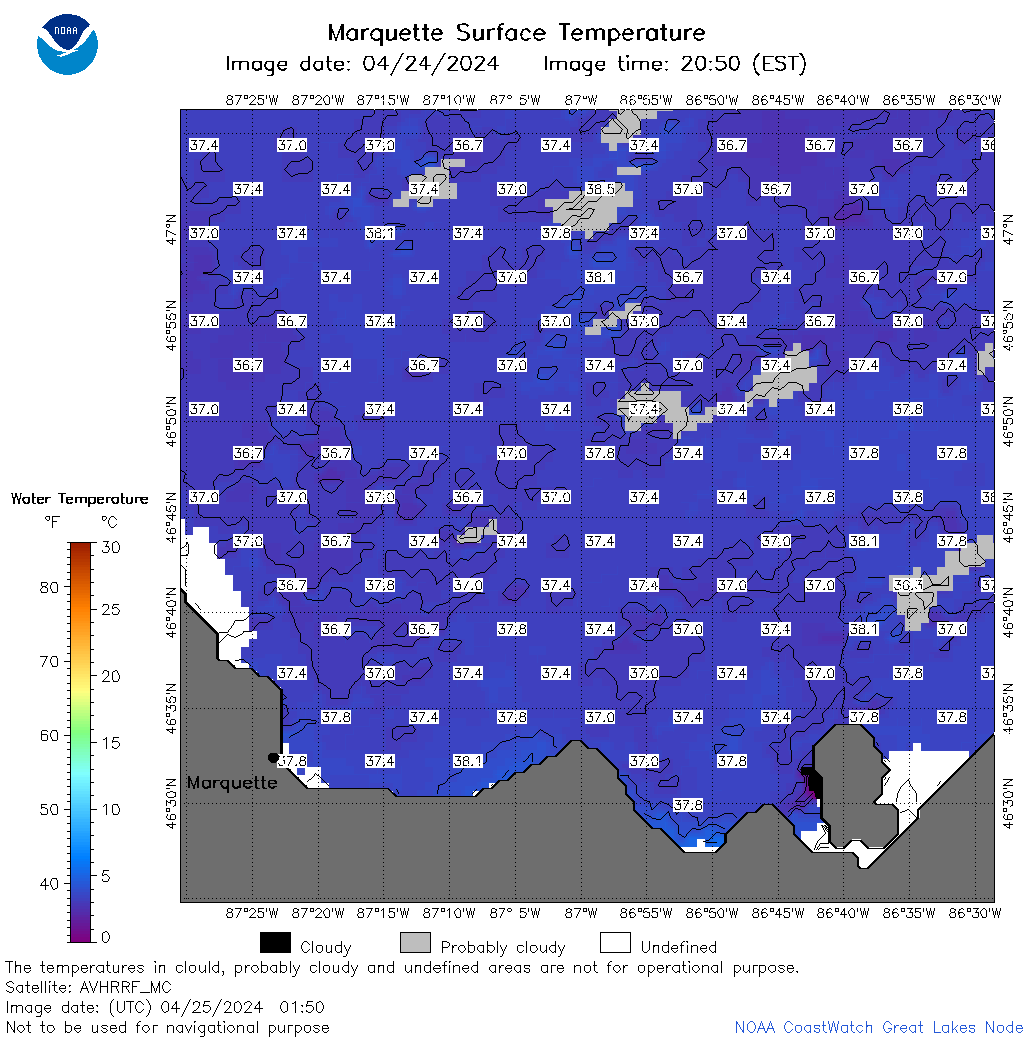 | s24_2024_04_25_0150.png | 25-Apr-2024 06:36 | 64750 | |
 | s24_2024_04_25_0230.png | 25-Apr-2024 06:38 | 66133 | |
 | s24_2024_04_25_0240.png | 25-Apr-2024 06:40 | 24414 | |
 | s24_2024_04_25_0330.png | 25-Apr-2024 06:42 | 56717 | |
 | s24_2024_04_25_0630.png | 25-Apr-2024 10:27 | 51876 | |
 | s24_2024_04_25_0700.png | 25-Apr-2024 10:30 | 54758 | |
 | s24_2024_04_25_0810.png | 25-Apr-2024 12:28 | 51655 | |
 | s24_2024_04_25_0820.png | 25-Apr-2024 12:31 | 20848 | |
 | s24_2024_04_25_0840.png | 25-Apr-2024 12:33 | 61924 | |
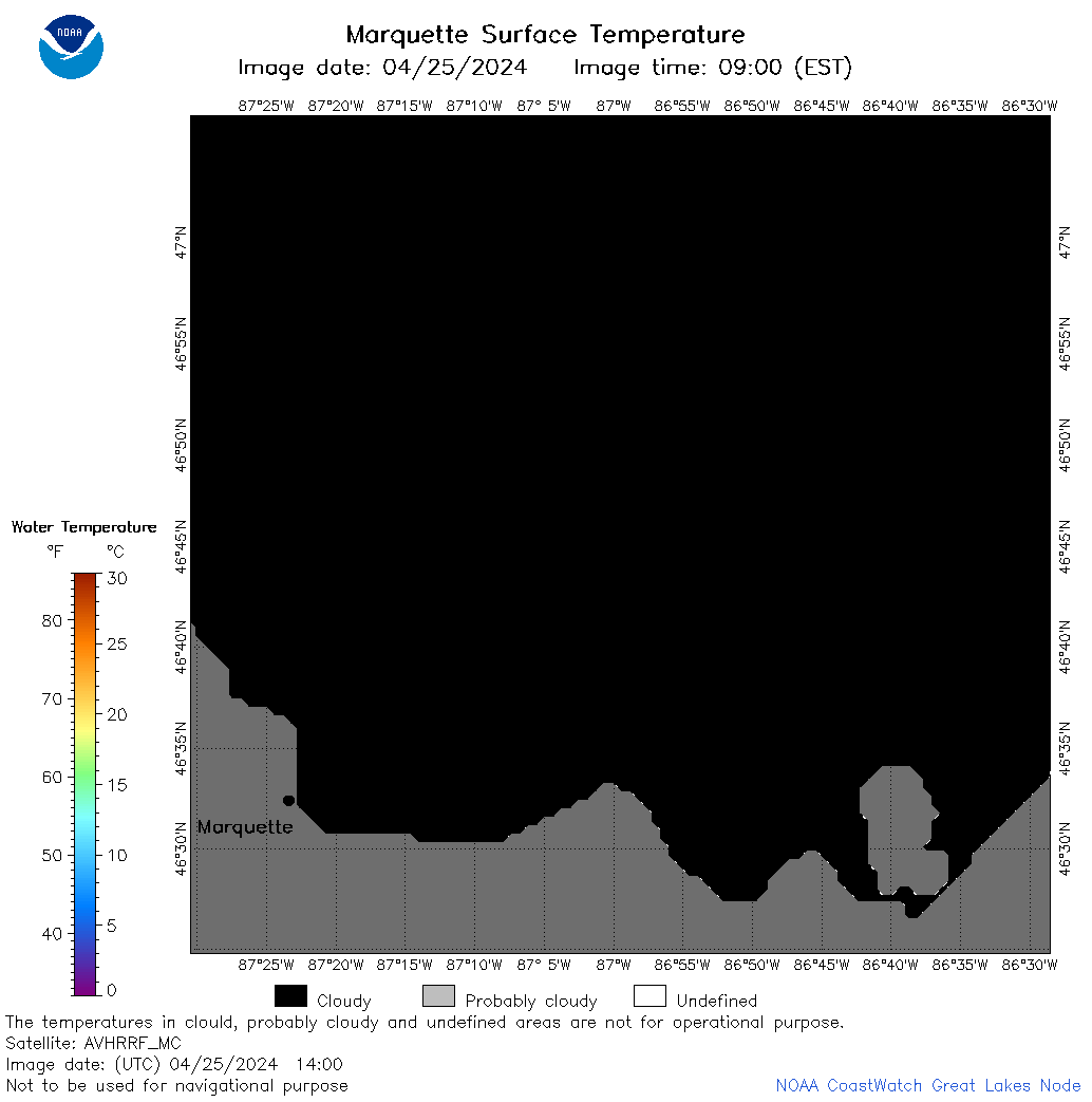 | s24_2024_04_25_1400.png | 25-Apr-2024 19:28 | 20806 | |
 | s24_2024_04_25_1450.png | 25-Apr-2024 21:26 | 37430 | |
 | s24_2024_04_25_1540.png | 25-Apr-2024 19:31 | 39393 | |
 | s24_2024_04_25_1630.png | 25-Apr-2024 19:33 | 47314 | |
 | s24_2024_116.png | 26-Apr-2024 11:16 | 32112 | |