
Easier access to scientific data

Brought to you by NOAA CoastWatch Great Lakes Node
|
ERDDAP
Easier access to scientific data |
|
Brought to you by NOAA CoastWatch Great Lakes Node |
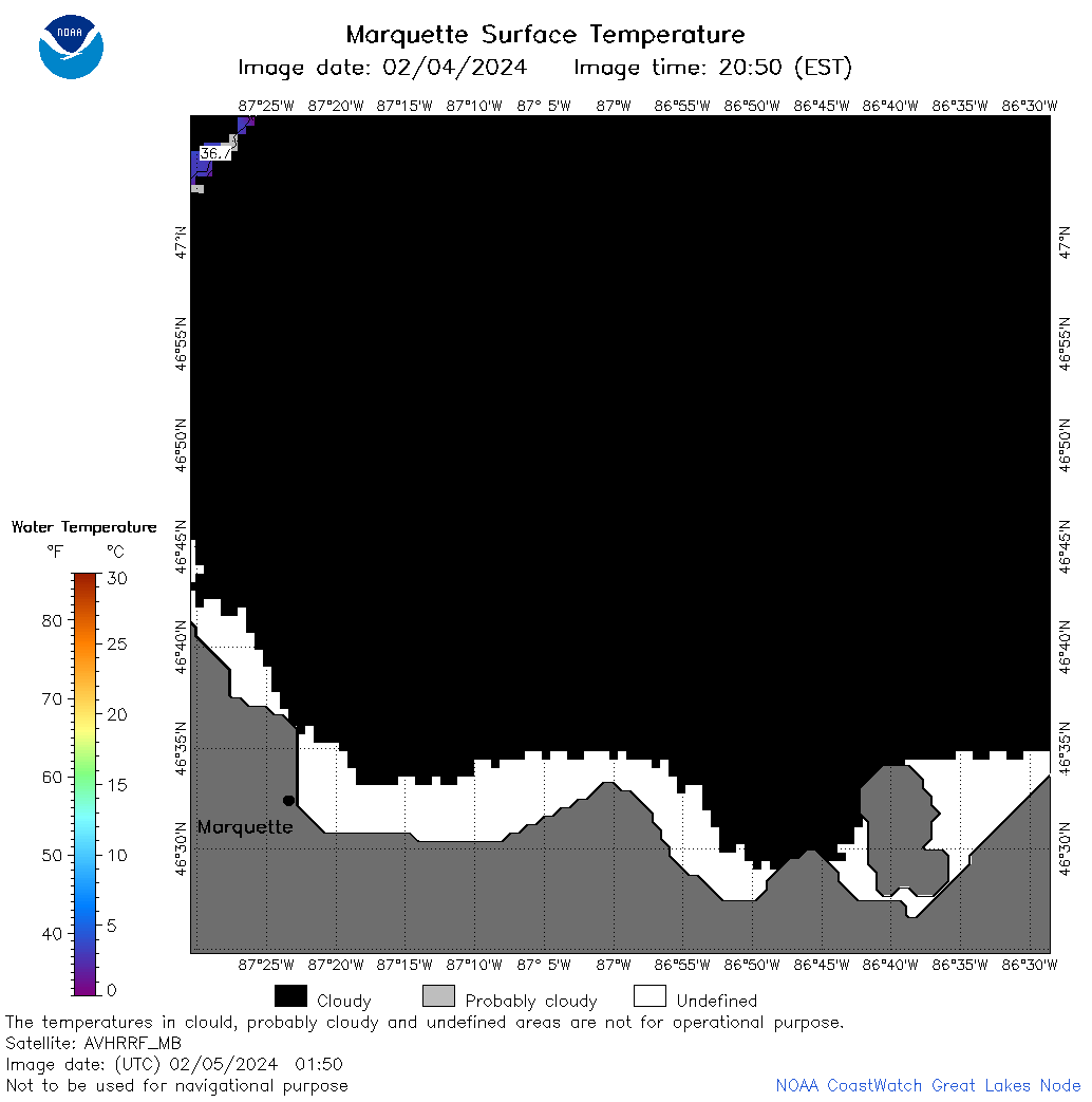
| Dataset Title: | Lake Superior Marquette Surface Temperature Contour Map (2022-present)


|
| Institution: | CoastWatch Great Lakes Node (Dataset ID: LS_NRT_TC_s24) |
| Information: | Summary
| License
| Metadata
| Background | Subset
| Data Access Form
| Make a graph
| Subset
| Data Access Form
| Make a graph
|
![[ICO]](https://apps.glerl.noaa.gov/erddap/images/fileIcons/blank.gif) | Name | Last modified | Size | Description |
|---|---|---|---|---|
![[DIR]](https://apps.glerl.noaa.gov/erddap/images/fileIcons/back.gif) | Parent Directory | - | - | |
![[IMG]](https://apps.glerl.noaa.gov/erddap/images/fileIcons/image2.gif)  | s24_2024_02_05_0100.png | 05-Feb-2024 06:38 | 22166 | |
 | s24_2024_02_05_0150.png | 05-Feb-2024 06:44 | 22523 | |
 | s24_2024_02_05_0240.png | 05-Feb-2024 06:51 | 22931 | |
 | s24_2024_02_05_0330.png | 05-Feb-2024 06:57 | 22326 | |
 | s24_2024_02_05_0630.png | 05-Feb-2024 11:30 | 22088 | |
 | s24_2024_02_05_0810.png | 05-Feb-2024 13:31 | 22119 | |
 | s24_2024_02_05_0820.png | 05-Feb-2024 13:37 | 20806 | |
 | s24_2024_02_05_0900.png | 05-Feb-2024 13:43 | 22112 | |
 | s24_2024_02_05_1400.png | 05-Feb-2024 22:47 | 20818 | |
 | s24_2024_02_05_1500.png | 05-Feb-2024 22:53 | 22062 | |
 | s24_2024_02_05_1540.png | 05-Feb-2024 23:00 | 22124 | |
 | s24_2024_02_05_1550.png | 05-Feb-2024 23:06 | 22403 | |
 | s24_2024_02_05_1640.png | 05-Feb-2024 23:13 | 22230 | |
 | s24_2024_02_05_1720.png | 05-Feb-2024 23:19 | 22372 | |
 | s24_2024_02_05_1800.png | 05-Feb-2024 23:29 | 22126 | |
 | s24_2024_02_05_1940.png | 05-Feb-2024 23:37 | 22064 | |