
Easier access to scientific data

Brought to you by NOAA CoastWatch Great Lakes Node
|
ERDDAP
Easier access to scientific data |
|
Brought to you by NOAA CoastWatch Great Lakes Node |
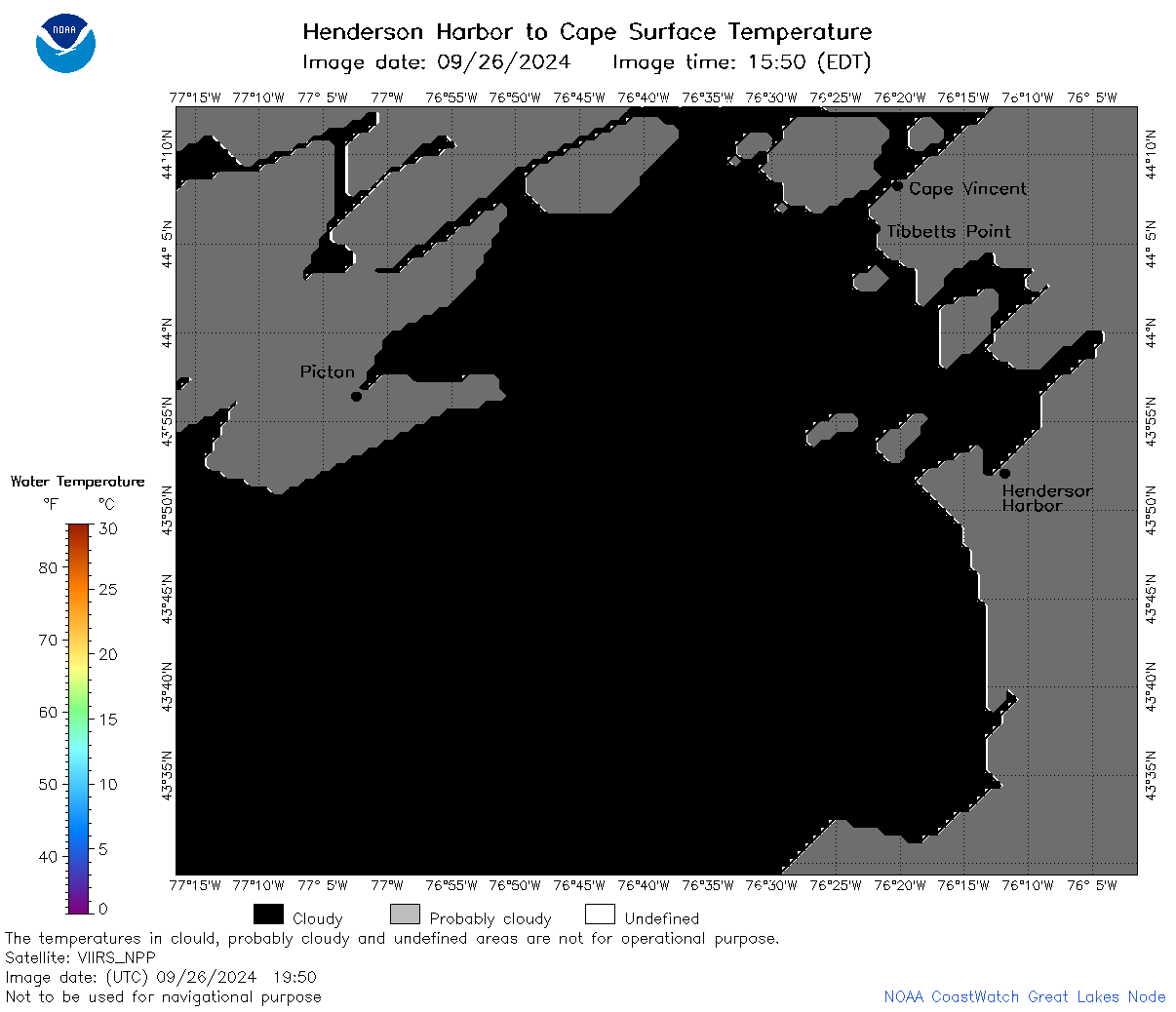
| Dataset Title: | Lake Ontario Henderson Harbor to Cape Vincent Surface Temperature Contour Map (2022-present) 

|
| Institution: | CoastWatch Great Lakes Node (Dataset ID: LO_NRT_TC_o23) |
| Information: | Summary
| License
| Metadata
| Background | Subset
| Data Access Form
| Make a graph
| Subset
| Data Access Form
| Make a graph
|
![[ICO]](https://apps.glerl.noaa.gov/erddap/images/fileIcons/blank.gif) | Name | Last modified | Size | Description |
|---|---|---|---|---|
![[DIR]](https://apps.glerl.noaa.gov/erddap/images/fileIcons/back.gif) | Parent Directory | - | - | |
![[IMG]](https://apps.glerl.noaa.gov/erddap/images/fileIcons/image2.gif)  | o23_2024_09_26_0640.png | 27-Sep-2024 00:37 | 29275 | |
 | o23_2024_09_26_0650.png | 27-Sep-2024 00:40 | 29108 | |
 | o23_2024_09_26_0710.png | 26-Sep-2024 23:33 | 28968 | |
 | o23_2024_09_26_0800.png | 27-Sep-2024 00:42 | 29026 | |
 | o23_2024_09_26_1740.png | 27-Sep-2024 00:44 | 27082 | |
 | o23_2024_09_26_1830.png | 27-Sep-2024 00:46 | 55961 | |
 | o23_2024_09_26_1840.png | 27-Sep-2024 00:48 | 26979 | |
 | o23_2024_09_26_1930.png | 27-Sep-2024 01:34 | 29939 | |
 | o23_2024_09_26_1950.png | 27-Sep-2024 01:37 | 26969 | |
 | o23_2024_09_26_2020.png | 27-Sep-2024 01:39 | 26984 | |
 | o23_2024_270.png | 27-Sep-2024 09:35 | 38342 | |