
Easier access to scientific data

Brought to you by NOAA CoastWatch Great Lakes Node
|
ERDDAP
Easier access to scientific data |
|
Brought to you by NOAA CoastWatch Great Lakes Node |
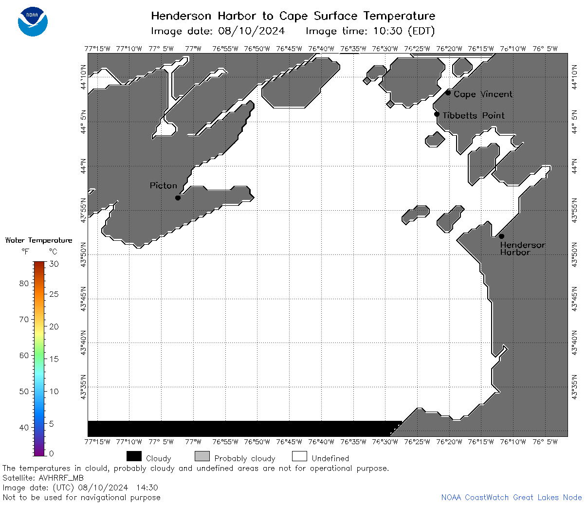
| Dataset Title: | Lake Ontario Henderson Harbor to Cape Vincent Surface Temperature Contour Map (2022-present) 

|
| Institution: | CoastWatch Great Lakes Node (Dataset ID: LO_NRT_TC_o23) |
| Information: | Summary
| License
| Metadata
| Background | Subset
| Data Access Form
| Make a graph
| Subset
| Data Access Form
| Make a graph
|
![[ICO]](https://apps.glerl.noaa.gov/erddap/images/fileIcons/blank.gif) | Name | Last modified | Size | Description |
|---|---|---|---|---|
![[DIR]](https://apps.glerl.noaa.gov/erddap/images/fileIcons/back.gif) | Parent Directory | - | - | |
![[IMG]](https://apps.glerl.noaa.gov/erddap/images/fileIcons/image2.gif)  | o23_2024_08_10_0130.png | 10-Aug-2024 12:33 | 51532 | |
 | o23_2024_08_10_0220.png | 10-Aug-2024 13:33 | 51125 | |
 | o23_2024_08_10_0310.png | 10-Aug-2024 16:38 | 32182 | |
 | o23_2024_08_10_0320.png | 10-Aug-2024 16:40 | 26968 | |
 | o23_2024_08_10_0400.png | 10-Aug-2024 16:42 | 26963 | |
 | o23_2024_08_10_0600.png | 10-Aug-2024 16:44 | 38299 | |
 | o23_2024_08_10_0630.png | 10-Aug-2024 16:47 | 35950 | |
 | o23_2024_08_10_0650.png | 10-Aug-2024 16:49 | 34360 | |
 | o23_2024_08_10_0920.png | 10-Aug-2024 16:51 | 26963 | |
 | o23_2024_08_10_1350.png | 10-Aug-2024 23:32 | 26968 | |
 | o23_2024_08_10_1430.png | 11-Aug-2024 00:33 | 29243 | |
 | o23_2024_08_10_1440.png | 11-Aug-2024 00:36 | 43888 | |
 | o23_2024_08_10_1530.png | 11-Aug-2024 01:32 | 45310 | |
 | o23_2024_08_10_1610.png | 11-Aug-2024 02:33 | 29224 | |
 | o23_2024_08_10_1620.png | 11-Aug-2024 02:36 | 29909 | |
 | o23_2024_08_10_1710.png | 11-Aug-2024 03:32 | 26928 | |
 | o23_2024_223.png | 11-Aug-2024 09:35 | 40015 | |