
Easier access to scientific data

Brought to you by NOAA CoastWatch Great Lakes Node
|
ERDDAP
Easier access to scientific data |
|
Brought to you by NOAA CoastWatch Great Lakes Node |
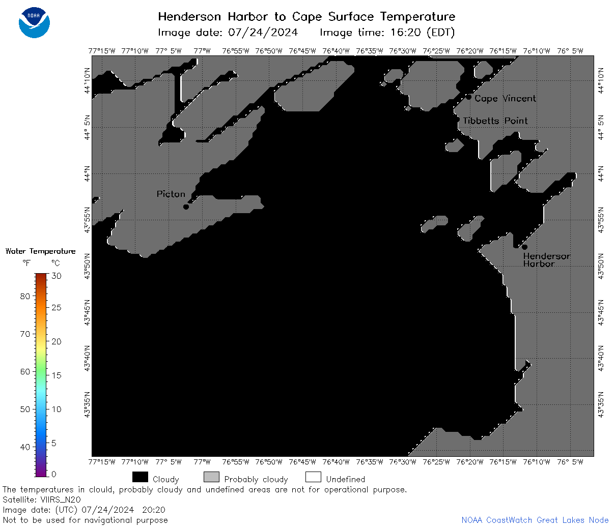
| Dataset Title: | Lake Ontario Henderson Harbor to Cape Vincent Surface Temperature Contour Map (2022-present) 

|
| Institution: | CoastWatch Great Lakes Node (Dataset ID: LO_NRT_TC_o23) |
| Information: | Summary
| License
| Metadata
| Background | Subset
| Data Access Form
| Make a graph
| Subset
| Data Access Form
| Make a graph
|
![[ICO]](https://apps.glerl.noaa.gov/erddap/images/fileIcons/blank.gif) | Name | Last modified | Size | Description |
|---|---|---|---|---|
![[DIR]](https://apps.glerl.noaa.gov/erddap/images/fileIcons/back.gif) | Parent Directory | - | - | |
![[IMG]](https://apps.glerl.noaa.gov/erddap/images/fileIcons/image2.gif)  | o23_2024_07_24_0130.png | 24-Jul-2024 22:37 | 34478 | |
 | o23_2024_07_24_0220.png | 24-Jul-2024 22:40 | 31392 | |
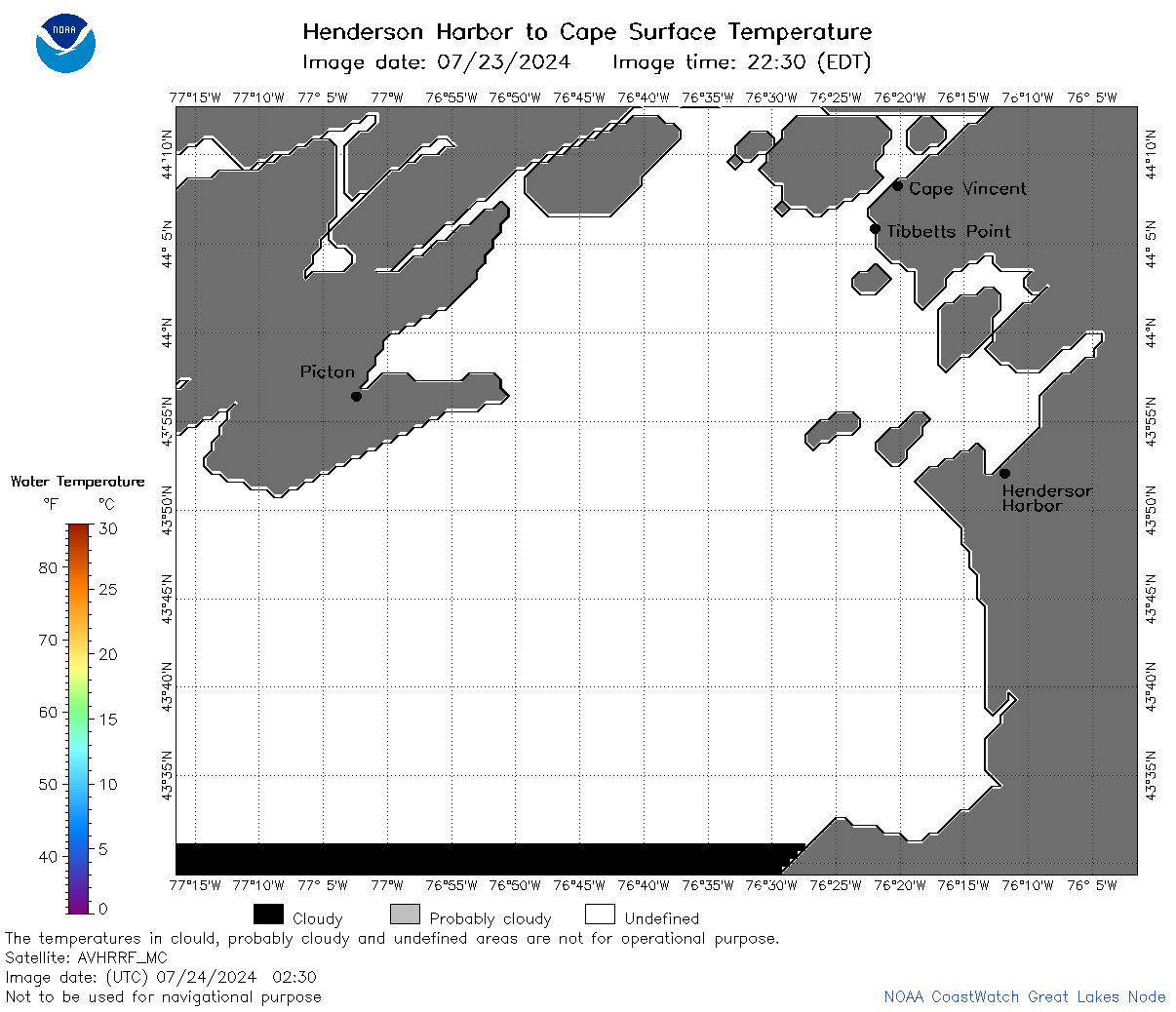 | o23_2024_07_24_0230.png | 24-Jul-2024 22:42 | 29217 | |
 | o23_2024_07_24_0310.png | 24-Jul-2024 22:44 | 29891 | |
 | o23_2024_07_24_0400.png | 24-Jul-2024 22:46 | 26937 | |
 | o23_2024_07_24_0410.png | 24-Jul-2024 22:49 | 26954 | |
 | o23_2024_07_24_0710.png | 24-Jul-2024 17:35 | 61608 | |
 | o23_2024_07_24_0850.png | 24-Jul-2024 17:37 | 29803 | |
 | o23_2024_07_24_0940.png | 24-Jul-2024 17:39 | 26966 | |
 | o23_2024_07_24_1350.png | 24-Jul-2024 23:35 | 35989 | |
 | o23_2024_07_24_1440.png | 25-Jul-2024 00:32 | 50874 | |
 | o23_2024_07_24_1530.png | 25-Jul-2024 01:32 | 51207 | |
 | o23_2024_07_24_1620.png | 25-Jul-2024 02:32 | 38397 | |
 | o23_2024_07_24_1710.png | 25-Jul-2024 03:32 | 26919 | |
 | o23_2024_07_24_1920.png | 24-Jul-2024 23:37 | 27089 | |
 | o23_2024_07_24_1930.png | 24-Jul-2024 23:40 | 29914 | |
 | o23_2024_07_24_2020.png | 24-Jul-2024 23:42 | 26947 | |
 | o23_2024_206.png | 25-Jul-2024 09:35 | 41072 | |