
Easier access to scientific data

Brought to you by NOAA CoastWatch Great Lakes Node
|
ERDDAP
Easier access to scientific data |
|
Brought to you by NOAA CoastWatch Great Lakes Node |
| Dataset Title: | Lake Ontario Henderson Harbor to Cape Vincent Surface Temperature Contour Map (2022-present) 

|
| Institution: | CoastWatch Great Lakes Node (Dataset ID: LO_NRT_TC_o23) |
| Information: | Summary
| License
| Metadata
| Background | Subset
| Data Access Form
| Make a graph
| Subset
| Data Access Form
| Make a graph
|
![[ICO]](https://apps.glerl.noaa.gov/erddap/images/fileIcons/blank.gif) | Name | Last modified | Size | Description |
|---|---|---|---|---|
![[DIR]](https://apps.glerl.noaa.gov/erddap/images/fileIcons/back.gif) | Parent Directory | - | - | |
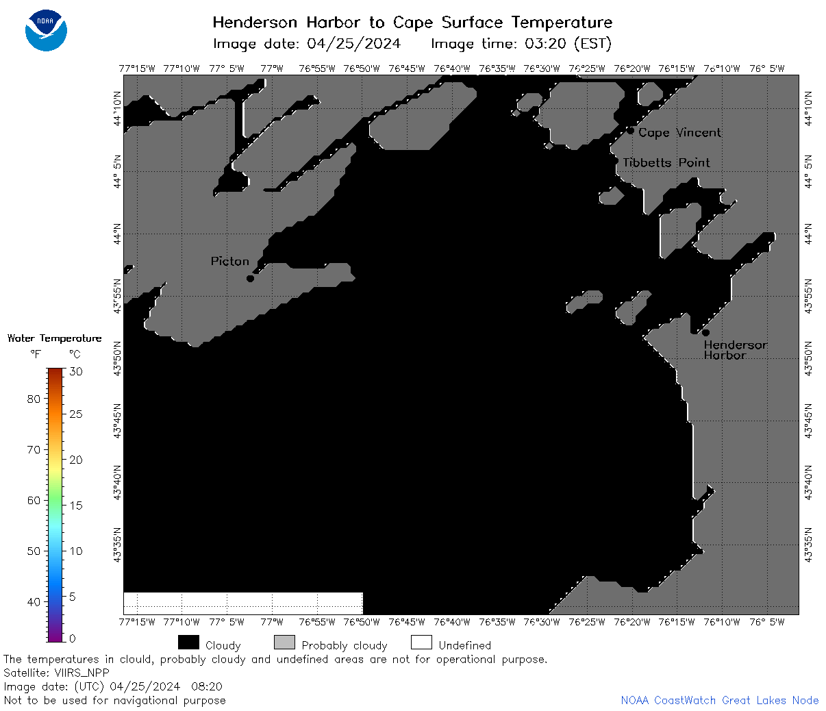
![[IMG]](https://apps.glerl.noaa.gov/erddap/images/fileIcons/image2.gif)  | o23_2024_04_25_0100.png | 25-Apr-2024 06:31 | 29784 | |
 | o23_2024_04_25_0140.png | 25-Apr-2024 06:34 | 27080 | |
 | o23_2024_04_25_0150.png | 25-Apr-2024 06:36 | 65453 | |
 | o23_2024_04_25_0230.png | 25-Apr-2024 06:38 | 67458 | |
 | o23_2024_04_25_0240.png | 25-Apr-2024 06:40 | 26982 | |
 | o23_2024_04_25_0330.png | 25-Apr-2024 06:42 | 29923 | |
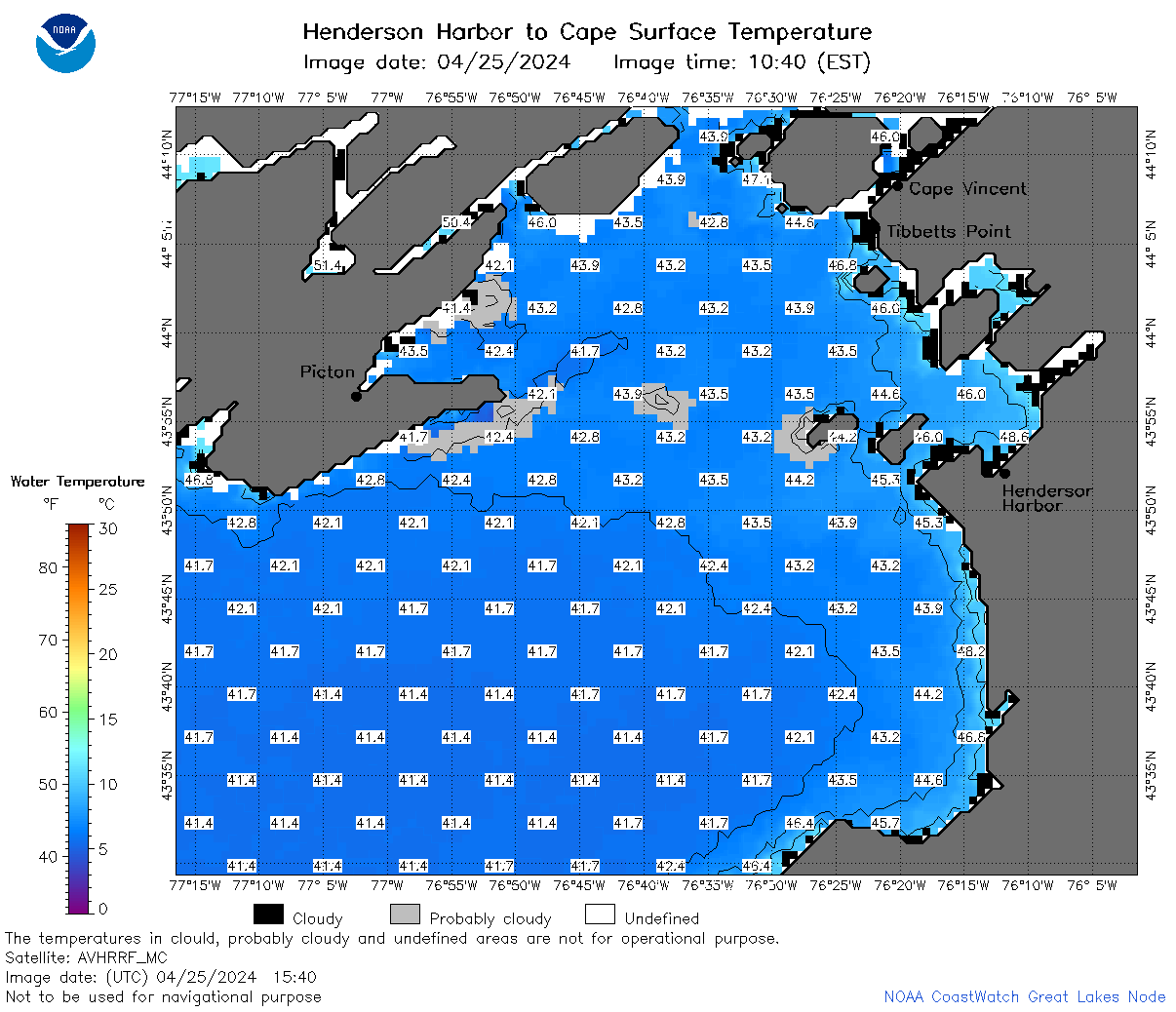
 | o23_2024_04_25_0630.png | 25-Apr-2024 10:28 | 62520 | |
 | o23_2024_04_25_0700.png | 25-Apr-2024 10:30 | 62015 | |
 | o23_2024_04_25_0810.png | 25-Apr-2024 12:29 | 70213 | |
 | o23_2024_04_25_0820.png | 25-Apr-2024 12:31 | 27119 | |
 | o23_2024_04_25_0840.png | 25-Apr-2024 12:34 | 29963 | |
 | o23_2024_04_25_1400.png | 25-Apr-2024 19:29 | 48511 | |
 | o23_2024_04_25_1450.png | 25-Apr-2024 21:27 | 57420 | |
 | o23_2024_04_25_1540.png | 25-Apr-2024 19:31 | 60373 | |
 | o23_2024_04_25_1630.png | 25-Apr-2024 19:34 | 29918 | |
 | o23_2024_116.png | 26-Apr-2024 11:35 | 42589 | |