
Easier access to scientific data

Brought to you by NOAA CoastWatch Great Lakes Node
|
ERDDAP
Easier access to scientific data |
|
Brought to you by NOAA CoastWatch Great Lakes Node |
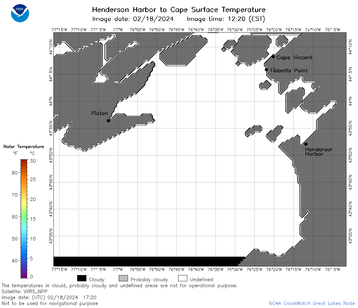
| Dataset Title: | Lake Ontario Henderson Harbor to Cape Vincent Surface Temperature Contour Map (2022-present) 

|
| Institution: | CoastWatch Great Lakes Node (Dataset ID: LO_NRT_TC_o23) |
| Information: | Summary
| License
| Metadata
| Background | Subset
| Data Access Form
| Make a graph
| Subset
| Data Access Form
| Make a graph
|
![[ICO]](https://apps.glerl.noaa.gov/erddap/images/fileIcons/blank.gif) | Name | Last modified | Size | Description |
|---|---|---|---|---|
![[DIR]](https://apps.glerl.noaa.gov/erddap/images/fileIcons/back.gif) | Parent Directory | - | - | |
![[IMG]](https://apps.glerl.noaa.gov/erddap/images/fileIcons/image2.gif)  | o23_2024_02_18_0130.png | 18-Feb-2024 06:37 | 52662 | |
 | o23_2024_02_18_0220.png | 18-Feb-2024 06:44 | 44372 | |
 | o23_2024_02_18_0310.png | 18-Feb-2024 06:50 | 29899 | |
 | o23_2024_02_18_0640.png | 18-Feb-2024 10:32 | 30439 | |
 | o23_2024_02_18_0730.png | 18-Feb-2024 11:32 | 30480 | |
 | o23_2024_02_18_0820.png | 18-Feb-2024 10:38 | 31088 | |
 | o23_2024_02_18_0910.png | 18-Feb-2024 17:37 | 26960 | |
 | o23_2024_02_18_1430.png | 18-Feb-2024 17:43 | 29243 | |
 | o23_2024_02_18_1440.png | 18-Feb-2024 17:49 | 30442 | |
 | o23_2024_02_18_1530.png | 18-Feb-2024 19:37 | 30560 | |
 | o23_2024_02_18_1610.png | 18-Feb-2024 19:43 | 29213 | |
 | o23_2024_02_18_1620.png | 18-Feb-2024 19:50 | 31564 | |
 | o23_2024_02_18_1710.png | 18-Feb-2024 20:34 | 26950 | |
 | o23_2024_02_18_1720.png | 18-Feb-2024 20:41 | 29221 | |
 | o23_2024_02_18_1800.png | 18-Feb-2024 20:03 | 30438 | |
 | o23_2024_02_18_1810.png | 18-Feb-2024 20:47 | 29778 | |
 | o23_2024_02_18_1850.png | 18-Feb-2024 21:37 | 30402 | |
 | o23_2024_02_18_1940.png | 18-Feb-2024 21:43 | 26968 | |
 | o23_2024_049.png | 19-Feb-2024 11:20 | 47601 | |