
Easier access to scientific data

Brought to you by NOAA CoastWatch Great Lakes Node
|
ERDDAP
Easier access to scientific data |
|
Brought to you by NOAA CoastWatch Great Lakes Node |
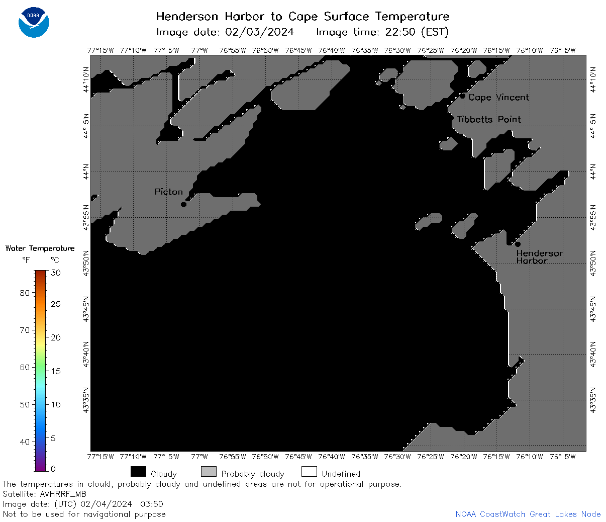
| Dataset Title: | Lake Ontario Henderson Harbor to Cape Vincent Surface Temperature Contour Map (2022-present) 

|
| Institution: | CoastWatch Great Lakes Node (Dataset ID: LO_NRT_TC_o23) |
| Information: | Summary
| License
| Metadata
| Background | Subset
| Data Access Form
| Make a graph
| Subset
| Data Access Form
| Make a graph
|
![[ICO]](https://apps.glerl.noaa.gov/erddap/images/fileIcons/blank.gif) | Name | Last modified | Size | Description |
|---|---|---|---|---|
![[DIR]](https://apps.glerl.noaa.gov/erddap/images/fileIcons/back.gif) | Parent Directory | - | - | |
![[IMG]](https://apps.glerl.noaa.gov/erddap/images/fileIcons/image2.gif)  | o23_2024_02_04_0120.png | 04-Feb-2024 06:39 | 32141 | |
 | o23_2024_02_04_0210.png | 04-Feb-2024 06:46 | 30569 | |
 | o23_2024_02_04_0300.png | 04-Feb-2024 06:52 | 30532 | |
 | o23_2024_02_04_0350.png | 04-Feb-2024 06:59 | 26945 | |
 | o23_2024_02_04_0650.png | 04-Feb-2024 11:32 | 65449 | |
 | o23_2024_02_04_0830.png | 04-Feb-2024 13:32 | 29392 | |
 | o23_2024_02_04_1420.png | 04-Feb-2024 19:41 | 40682 | |
 | o23_2024_02_04_1430.png | 04-Feb-2024 19:48 | 27062 | |
 | o23_2024_02_04_1520.png | 04-Feb-2024 19:54 | 42244 | |
 | o23_2024_02_04_1600.png | 04-Feb-2024 20:00 | 34220 | |
 | o23_2024_02_04_1610.png | 04-Feb-2024 20:07 | 29861 | |
 | o23_2024_02_04_1700.png | 04-Feb-2024 21:34 | 26957 | |
 | o23_2024_02_04_1820.png | 04-Feb-2024 21:41 | 49364 | |
 | o23_2024_035.png | 05-Feb-2024 11:20 | 51895 | |