
Easier access to scientific data

Brought to you by NOAA CoastWatch Great Lakes Node
|
ERDDAP
Easier access to scientific data |
|
Brought to you by NOAA CoastWatch Great Lakes Node |
| Dataset Title: | Lake Ontario Wetern Region Surface Temperature Contour Map (2022-present)


|
| Institution: | CoastWatch Great Lakes Node (Dataset ID: LO_NRT_TC_o1) |
| Information: | Summary
| License
| Metadata
| Background | Subset
| Data Access Form
| Make a graph
| Subset
| Data Access Form
| Make a graph
|
![[ICO]](https://apps.glerl.noaa.gov/erddap/images/fileIcons/blank.gif) | Name | Last modified | Size | Description |
|---|---|---|---|---|
![[DIR]](https://apps.glerl.noaa.gov/erddap/images/fileIcons/back.gif) | Parent Directory | - | - | |
![[IMG]](https://apps.glerl.noaa.gov/erddap/images/fileIcons/image2.gif)  | o1_2023_02_19_0110.png | 19-Feb-2023 06:24 | 21640 | |
 | o1_2023_02_19_0200.png | 19-Feb-2023 06:25 | 28580 | |
 | o1_2023_02_19_0250.png | 19-Feb-2023 06:27 | 24648 | |
 | o1_2023_02_19_0620.png | 19-Feb-2023 10:24 | 21788 | |
 | o1_2023_02_19_0700.png | 19-Feb-2023 10:25 | 19076 | |
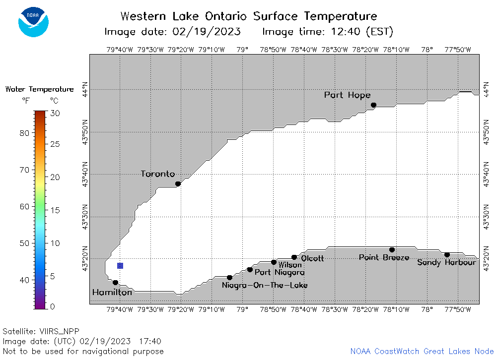 | o1_2023_02_19_1740.png | 19-Feb-2023 21:24 | 19092 | |
 | o1_2023_02_19_1830.png | 19-Feb-2023 21:25 | 19477 | |
 | o1_2023_050.png | 20-Feb-2023 10:17 | 31919 | |