
Easier access to scientific data

Brought to you by NOAA CoastWatch Great Lakes Node
|
ERDDAP
Easier access to scientific data |
|
Brought to you by NOAA CoastWatch Great Lakes Node |
| Dataset Title: | Lake Michigan Milwaukee Bay Surface Temperature Contour Map (2022-present)


|
| Institution: | CoastWatch Great Lakes Node (Dataset ID: LM_NRT_TC_m65) |
| Information: | Summary
| License
| Metadata
| Background | Subset
| Data Access Form
| Make a graph
| Subset
| Data Access Form
| Make a graph
|
![[ICO]](https://apps.glerl.noaa.gov/erddap/images/fileIcons/blank.gif) | Name | Last modified | Size | Description |
|---|---|---|---|---|
![[DIR]](https://apps.glerl.noaa.gov/erddap/images/fileIcons/back.gif) | Parent Directory | - | - | |
![[IMG]](https://apps.glerl.noaa.gov/erddap/images/fileIcons/image2.gif) 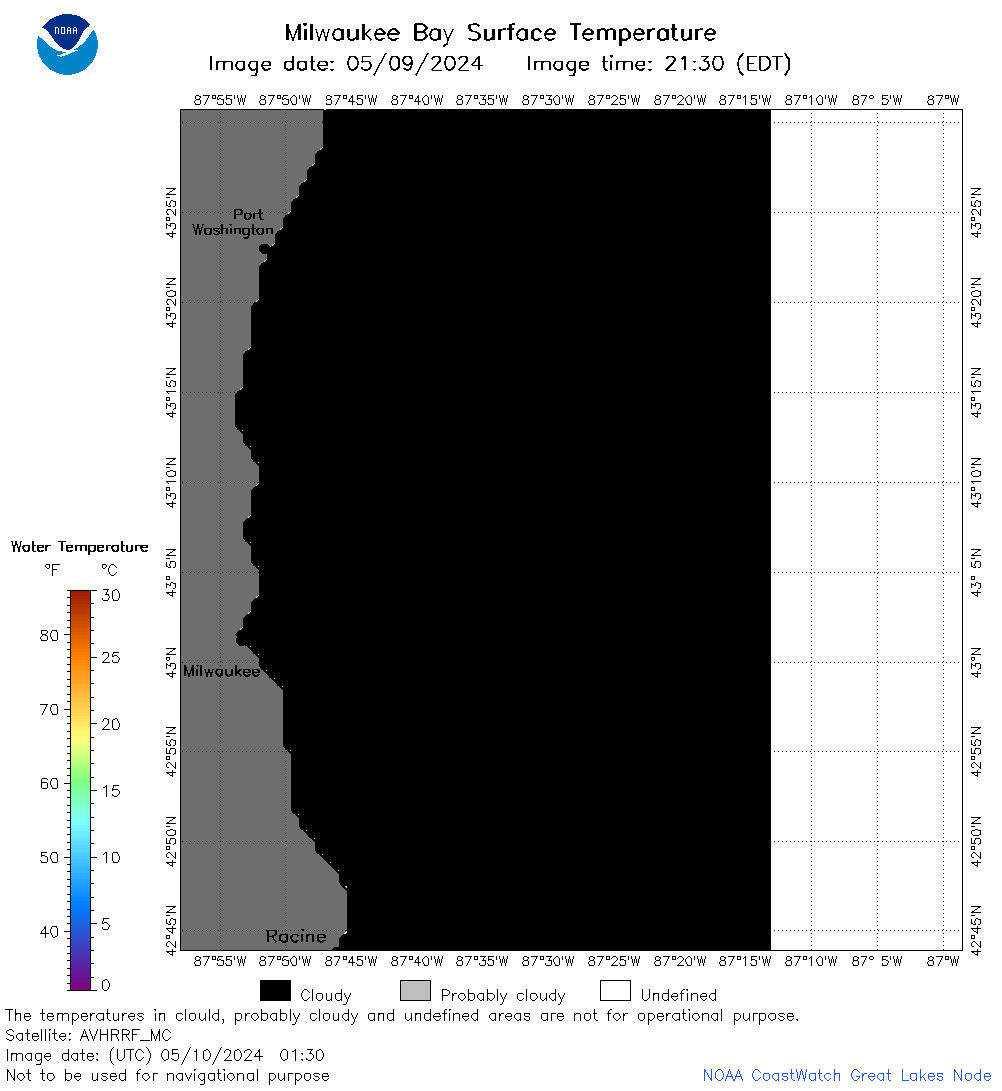 | m65_2024_05_10_0130.png | 10-May-2024 05:30 | 22493 | |
 | m65_2024_05_10_0140.png | 10-May-2024 05:32 | 48030 | |
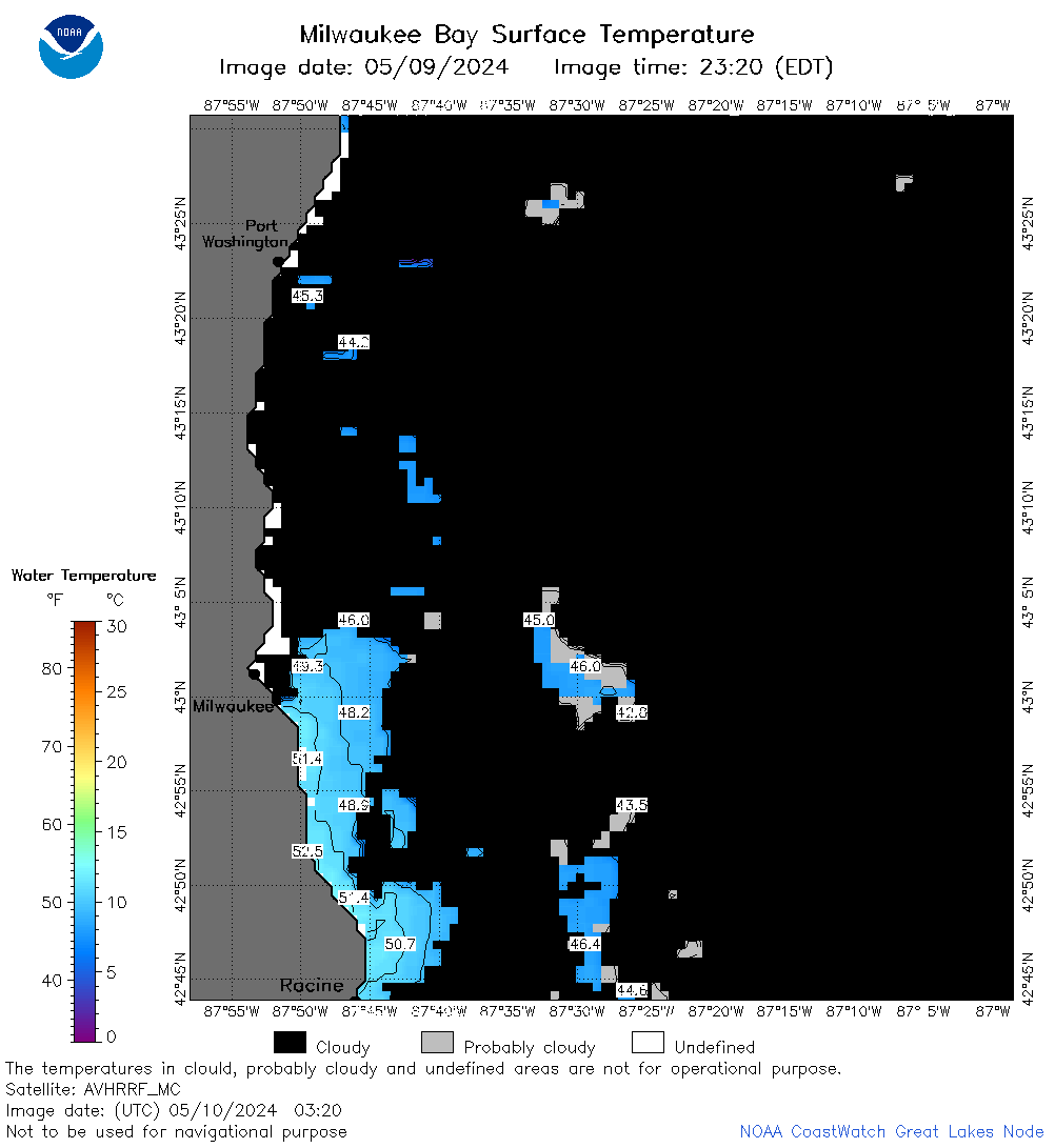
 | m65_2024_05_10_0220.png | 10-May-2024 05:35 | 30323 | |
 | m65_2024_05_10_0230.png | 10-May-2024 05:37 | 20737 | |
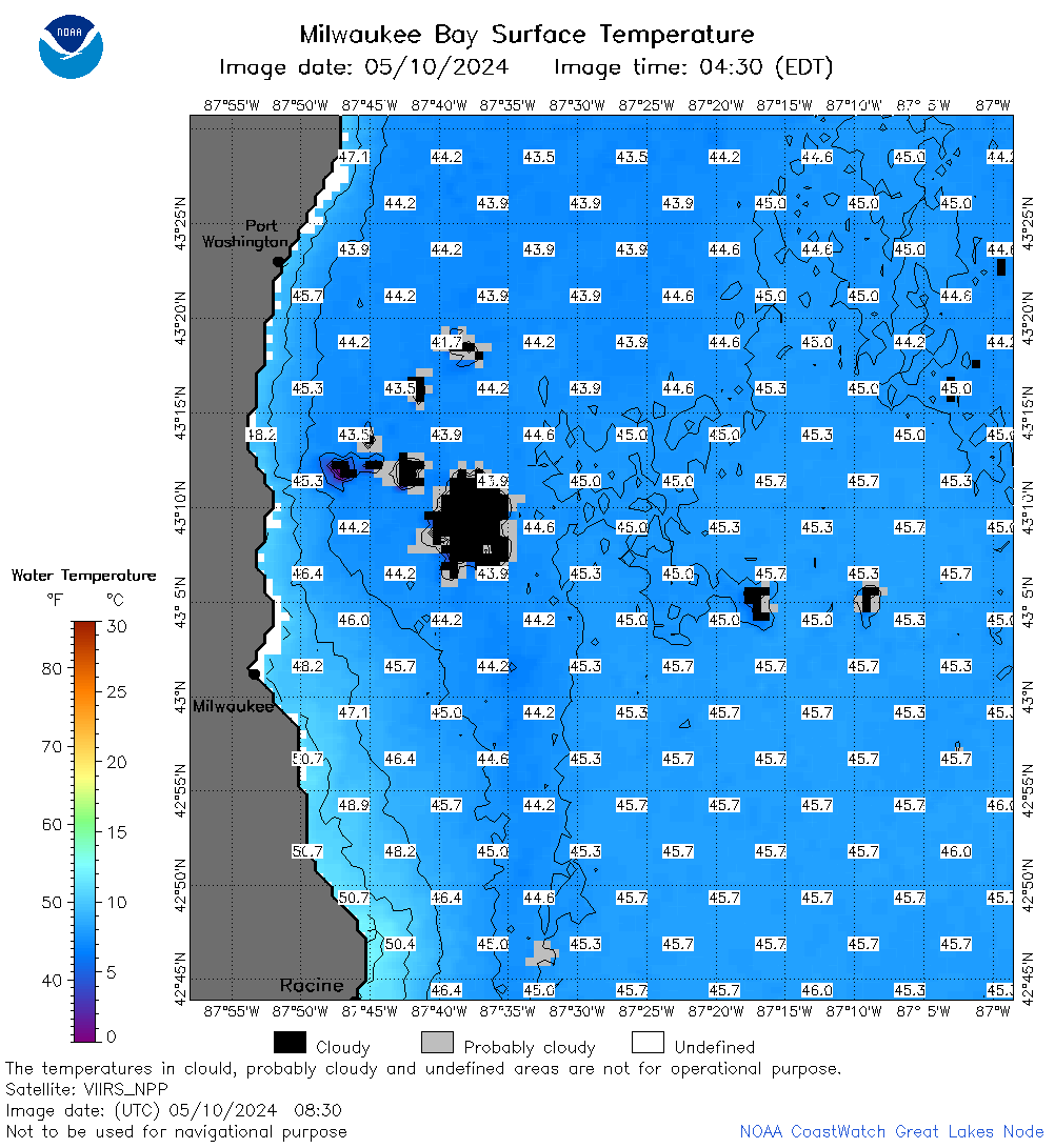
 | m65_2024_05_10_0320.png | 10-May-2024 05:40 | 29506 | |
 | m65_2024_05_10_0650.png | 10-May-2024 13:29 | 62208 | |
 | m65_2024_05_10_0720.png | 10-May-2024 13:32 | 43963 | |
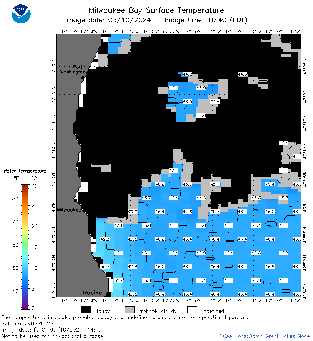
 | m65_2024_05_10_0830.png | 10-May-2024 13:35 | 64327 | |
 | m65_2024_05_10_0900.png | 10-May-2024 13:37 | 57863 | |
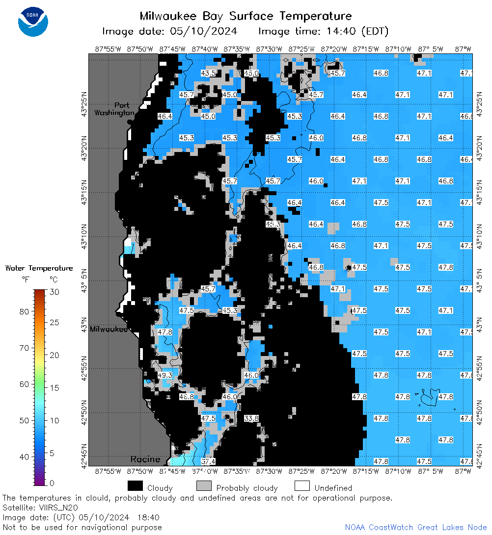
 | m65_2024_05_10_1440.png | 10-May-2024 18:27 | 34680 | |
 | m65_2024_05_10_1530.png | 10-May-2024 18:29 | 49213 | |
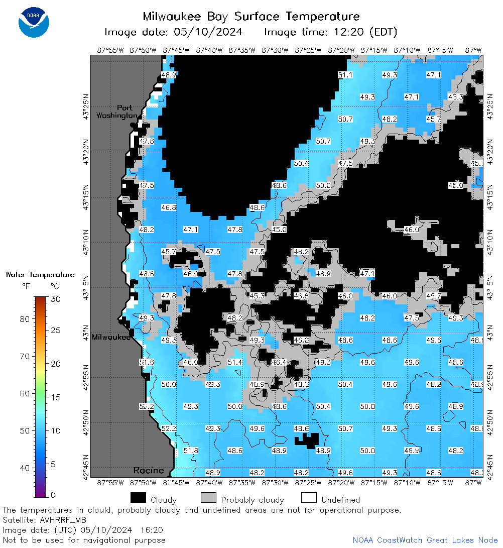 | m65_2024_05_10_1620.png | 10-May-2024 19:28 | 50465 | |
 | m65_2024_05_10_1700.png | 10-May-2024 18:32 | 22472 | |
 | m65_2024_05_10_1710.png | 10-May-2024 20:27 | 24224 | |
 | m65_2024_05_10_1820.png | 10-May-2024 21:28 | 45531 | |
 | m65_2024_05_10_1840.png | 10-May-2024 20:30 | 43632 | |
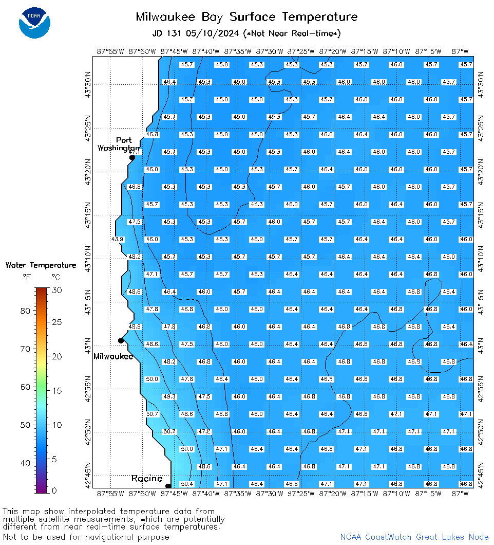 | m65_2024_131.png | 11-May-2024 09:26 | 41178 | |