
Easier access to scientific data

Brought to you by NOAA CoastWatch Great Lakes Node
|
ERDDAP
Easier access to scientific data |
|
Brought to you by NOAA CoastWatch Great Lakes Node |
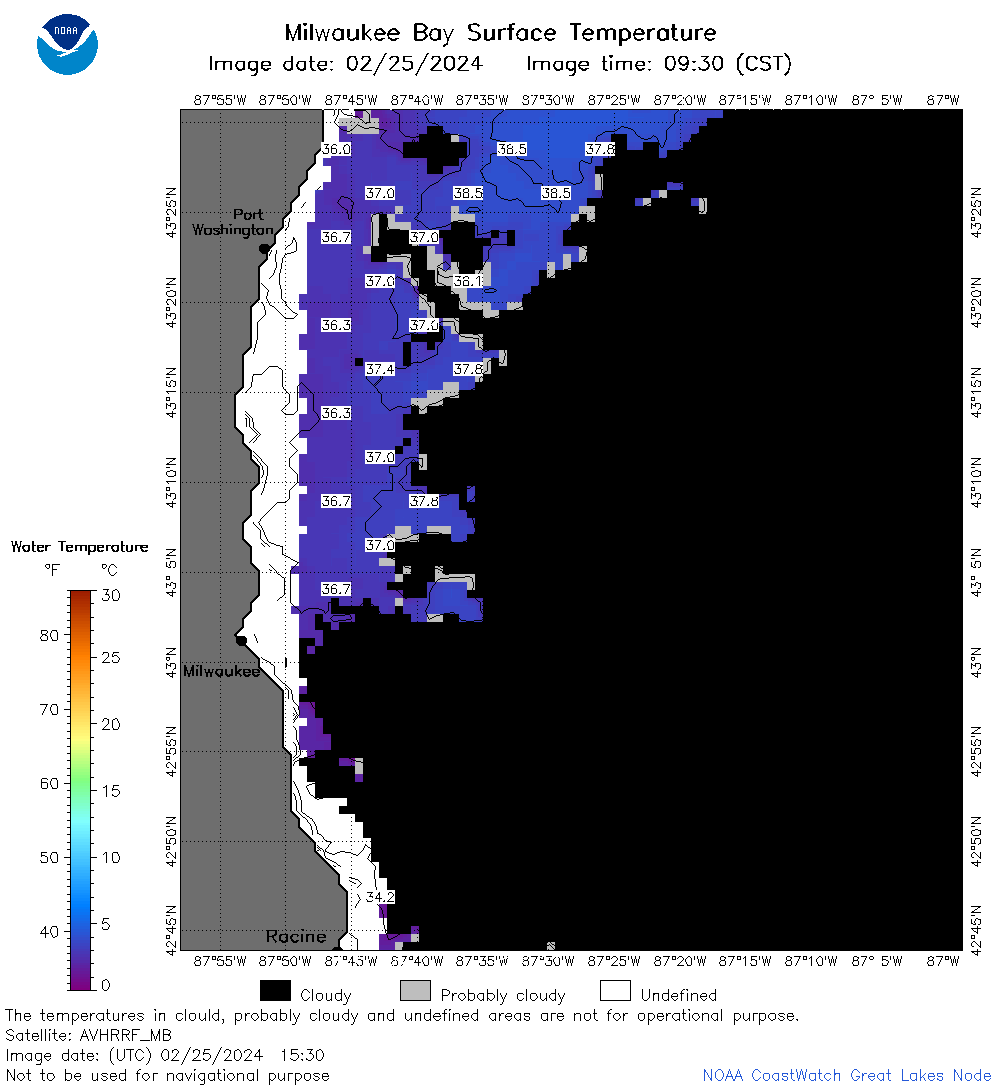
| Dataset Title: | Lake Michigan Milwaukee Bay Surface Temperature Contour Map (2022-present)


|
| Institution: | CoastWatch Great Lakes Node (Dataset ID: LM_NRT_TC_m65) |
| Information: | Summary
| License
| Metadata
| Background | Subset
| Data Access Form
| Make a graph
| Subset
| Data Access Form
| Make a graph
|
![[ICO]](https://apps.glerl.noaa.gov/erddap/images/fileIcons/blank.gif) | Name | Last modified | Size | Description |
|---|---|---|---|---|
![[DIR]](https://apps.glerl.noaa.gov/erddap/images/fileIcons/back.gif) | Parent Directory | - | - | |
![[IMG]](https://apps.glerl.noaa.gov/erddap/images/fileIcons/image2.gif)  | m65_2024_02_25_0130.png | 25-Feb-2024 07:30 | 21051 | |
 | m65_2024_02_25_0140.png | 25-Feb-2024 07:33 | 23432 | |
 | m65_2024_02_25_0230.png | 25-Feb-2024 07:35 | 22251 | |
 | m65_2024_02_25_0310.png | 25-Feb-2024 07:37 | 21034 | |
 | m65_2024_02_25_0320.png | 25-Feb-2024 07:39 | 22187 | |
 | m65_2024_02_25_0610.png | 25-Feb-2024 09:26 | 22519 | |
 | m65_2024_02_25_0700.png | 25-Feb-2024 11:27 | 57552 | |
 | m65_2024_02_25_0750.png | 25-Feb-2024 11:29 | 53045 | |
 | m65_2024_02_25_0840.png | 25-Feb-2024 12:26 | 63701 | |
 | m65_2024_02_25_0930.png | 25-Feb-2024 11:32 | 20772 | |
 | m65_2024_02_25_1440.png | 25-Feb-2024 18:27 | 22152 | |
 | m65_2024_02_25_1530.png | 25-Feb-2024 18:30 | 32929 | |
 | m65_2024_02_25_1620.png | 25-Feb-2024 20:27 | 31110 | |
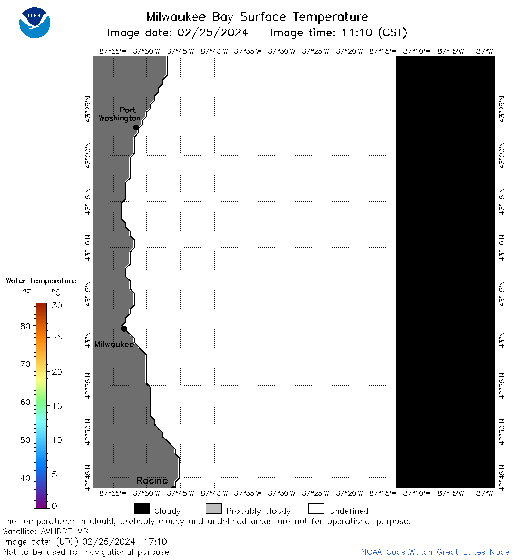 | m65_2024_02_25_1710.png | 25-Feb-2024 20:29 | 24252 | |