
Easier access to scientific data

Brought to you by NOAA CoastWatch Great Lakes Node
|
ERDDAP
Easier access to scientific data |
|
Brought to you by NOAA CoastWatch Great Lakes Node |
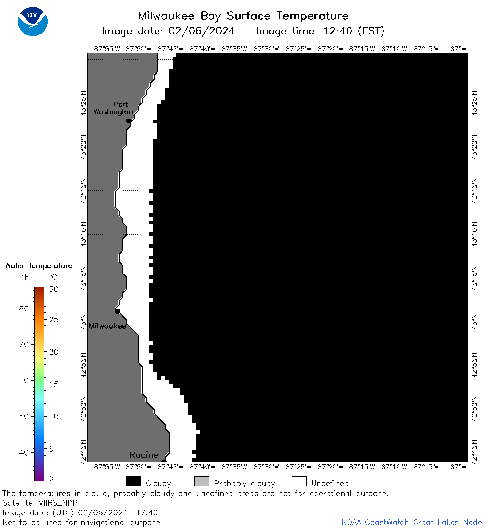
| Dataset Title: | Lake Michigan Milwaukee Bay Surface Temperature Contour Map (2022-present)


|
| Institution: | CoastWatch Great Lakes Node (Dataset ID: LM_NRT_TC_m65) |
| Information: | Summary
| License
| Metadata
| Background | Subset
| Data Access Form
| Make a graph
| Subset
| Data Access Form
| Make a graph
|
![[ICO]](https://apps.glerl.noaa.gov/erddap/images/fileIcons/blank.gif) | Name | Last modified | Size | Description |
|---|---|---|---|---|
![[DIR]](https://apps.glerl.noaa.gov/erddap/images/fileIcons/back.gif) | Parent Directory | - | - | |
![[IMG]](https://apps.glerl.noaa.gov/erddap/images/fileIcons/image2.gif) 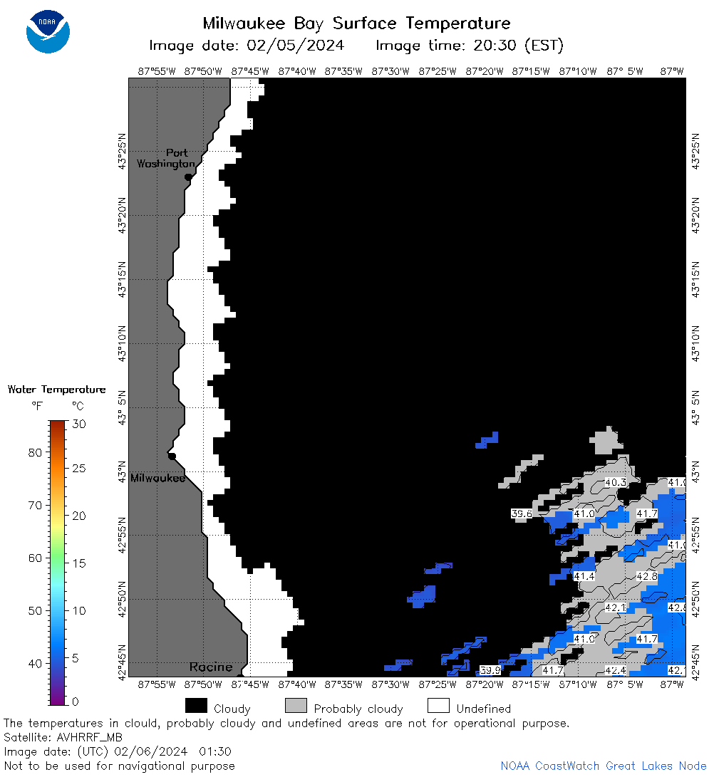 | m65_2024_02_06_0130.png | 06-Feb-2024 06:36 | 29295 | |
 | m65_2024_02_06_0220.png | 06-Feb-2024 06:43 | 36970 | |
 | m65_2024_02_06_0310.png | 06-Feb-2024 06:49 | 33932 | |
 | m65_2024_02_06_0610.png | 06-Feb-2024 10:34 | 22474 | |
 | m65_2024_02_06_0620.png | 06-Feb-2024 10:40 | 22487 | |
 | m65_2024_02_06_0750.png | 06-Feb-2024 10:46 | 20715 | |
 | m65_2024_02_06_0800.png | 06-Feb-2024 10:53 | 22257 | |
 | m65_2024_02_06_1430.png | 06-Feb-2024 18:31 | 20729 | |
 | m65_2024_02_06_1440.png | 06-Feb-2024 18:38 | 23905 | |
 | m65_2024_02_06_1520.png | 06-Feb-2024 18:44 | 22266 | |
 | m65_2024_02_06_1530.png | 06-Feb-2024 18:50 | 24287 | |
 | m65_2024_02_06_1610.png | 06-Feb-2024 19:36 | 20714 | |
 | m65_2024_02_06_1620.png | 06-Feb-2024 19:42 | 22224 | |
 | m65_2024_02_06_1700.png | 06-Feb-2024 19:48 | 24268 | |
 | m65_2024_02_06_1740.png | 06-Feb-2024 19:55 | 22260 | |
 | m65_2024_02_06_1920.png | 07-Feb-2024 00:31 | 22219 | |
 | m65_2024_037.png | 07-Feb-2024 10:56 | 43046 | |