
Easier access to scientific data

Brought to you by NOAA CoastWatch Great Lakes Node
|
ERDDAP
Easier access to scientific data |
|
Brought to you by NOAA CoastWatch Great Lakes Node |
| Dataset Title: | Lake Michigan Central Southern Region Surface Temperature Contour Map (2022- present) 

|
| Institution: | CoastWatch Great Lakes Node (Dataset ID: LM_NRT_TC_m4) |
| Information: | Summary
| License
| Metadata
| Background | Subset
| Data Access Form
| Make a graph
| Subset
| Data Access Form
| Make a graph
|
![[ICO]](https://apps.glerl.noaa.gov/erddap/images/fileIcons/blank.gif) | Name | Last modified | Size | Description |
|---|---|---|---|---|
![[DIR]](https://apps.glerl.noaa.gov/erddap/images/fileIcons/back.gif) | Parent Directory | - | - | |
![[IMG]](https://apps.glerl.noaa.gov/erddap/images/fileIcons/image2.gif)  | m4_2024_10_08_0110.png | 08-Oct-2024 11:30 | 24921 | |
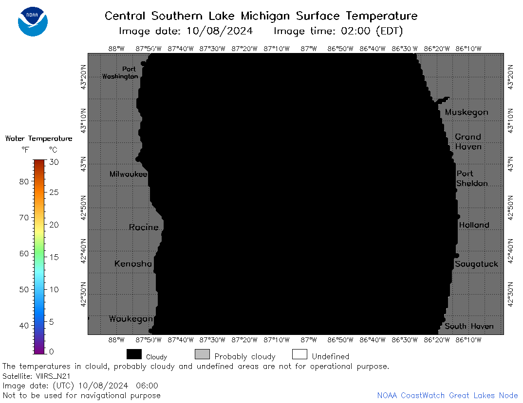
 | m4_2024_10_08_0200.png | 08-Oct-2024 12:30 | 57987 | |
 | m4_2024_10_08_0250.png | 08-Oct-2024 13:30 | 54317 | |
 | m4_2024_10_08_0300.png | 08-Oct-2024 13:31 | 21953 | |
 | m4_2024_10_08_0340.png | 08-Oct-2024 18:30 | 43621 | |
 | m4_2024_10_08_0600.png | 08-Oct-2024 10:30 | 21948 | |
 | m4_2024_10_08_0620.png | 08-Oct-2024 09:30 | 24902 | |
 | m4_2024_10_08_0640.png | 08-Oct-2024 09:31 | 59691 | |
 | m4_2024_10_08_0650.png | 08-Oct-2024 09:32 | 23689 | |
 | m4_2024_10_08_0800.png | 08-Oct-2024 10:31 | 42426 | |
 | m4_2024_10_08_0820.png | 08-Oct-2024 11:31 | 26698 | |
 | m4_2024_10_08_0830.png | 08-Oct-2024 11:32 | 46607 | |
 | m4_2024_10_08_0920.png | 08-Oct-2024 13:32 | 24032 | |
 | m4_2024_10_08_0940.png | 08-Oct-2024 13:33 | 21952 | |
 | m4_2024_10_08_1720.png | 08-Oct-2024 20:30 | 35556 | |
 | m4_2024_10_08_1740.png | 08-Oct-2024 20:31 | 57546 | |
 | m4_2024_10_08_1810.png | 08-Oct-2024 20:32 | 52802 | |
 | m4_2024_282.png | 09-Oct-2024 09:10 | 37968 | |