
Easier access to scientific data

Brought to you by NOAA CoastWatch Great Lakes Node
|
ERDDAP
Easier access to scientific data |
|
Brought to you by NOAA CoastWatch Great Lakes Node |
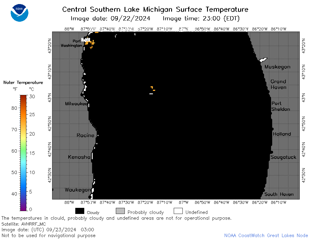
| Dataset Title: | Lake Michigan Central Southern Region Surface Temperature Contour Map (2022- present) 

|
| Institution: | CoastWatch Great Lakes Node (Dataset ID: LM_NRT_TC_m4) |
| Information: | Summary
| License
| Metadata
| Background | Subset
| Data Access Form
| Make a graph
| Subset
| Data Access Form
| Make a graph
|
![[ICO]](https://apps.glerl.noaa.gov/erddap/images/fileIcons/blank.gif) | Name | Last modified | Size | Description |
|---|---|---|---|---|
![[DIR]](https://apps.glerl.noaa.gov/erddap/images/fileIcons/back.gif) | Parent Directory | - | - | |
![[IMG]](https://apps.glerl.noaa.gov/erddap/images/fileIcons/image2.gif)  | m4_2024_09_23_0120.png | 23-Sep-2024 12:30 | 24947 | |
 | m4_2024_09_23_0210.png | 23-Sep-2024 12:31 | 22483 | |
 | m4_2024_09_23_0300.png | 23-Sep-2024 13:30 | 23171 | |
 | m4_2024_09_23_0310.png | 23-Sep-2024 13:31 | 21967 | |
 | m4_2024_09_23_0350.png | 23-Sep-2024 16:30 | 24076 | |
 | m4_2024_09_23_1420.png | 24-Sep-2024 02:30 | 21970 | |
 | m4_2024_09_23_1430.png | 24-Sep-2024 03:30 | 28461 | |
 | m4_2024_09_23_1520.png | 24-Sep-2024 03:31 | 34935 | |
 | m4_2024_267.png | 24-Sep-2024 09:10 | 35916 | |