
Easier access to scientific data

Brought to you by NOAA CoastWatch Great Lakes Node
|
ERDDAP
Easier access to scientific data |
|
Brought to you by NOAA CoastWatch Great Lakes Node |
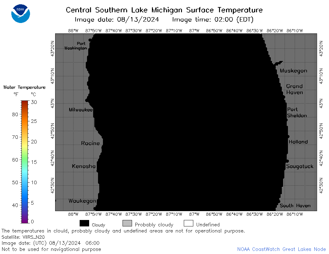
| Dataset Title: | Lake Michigan Central Southern Region Surface Temperature Contour Map (2022- present) 

|
| Institution: | CoastWatch Great Lakes Node (Dataset ID: LM_NRT_TC_m4) |
| Information: | Summary
| License
| Metadata
| Background | Subset
| Data Access Form
| Make a graph
| Subset
| Data Access Form
| Make a graph
|
![[ICO]](https://apps.glerl.noaa.gov/erddap/images/fileIcons/blank.gif) | Name | Last modified | Size | Description |
|---|---|---|---|---|
![[DIR]](https://apps.glerl.noaa.gov/erddap/images/fileIcons/back.gif) | Parent Directory | - | - | |
![[IMG]](https://apps.glerl.noaa.gov/erddap/images/fileIcons/image2.gif)  | m4_2024_08_13_0120.png | 13-Aug-2024 11:30 | 48734 | |
 | m4_2024_08_13_0210.png | 13-Aug-2024 12:30 | 60326 | |
 | m4_2024_08_13_0300.png | 13-Aug-2024 13:30 | 64018 | |
 | m4_2024_08_13_0350.png | 13-Aug-2024 16:30 | 37220 | |
 | m4_2024_08_13_0550.png | 13-Aug-2024 10:30 | 21982 | |
 | m4_2024_08_13_0600.png | 13-Aug-2024 10:31 | 21991 | |
 | m4_2024_08_13_0640.png | 13-Aug-2024 12:31 | 22004 | |
 | m4_2024_08_13_0650.png | 13-Aug-2024 12:32 | 70907 | |
 | m4_2024_08_13_0710.png | 13-Aug-2024 12:33 | 68118 | |
 | m4_2024_08_13_0730.png | 13-Aug-2024 11:31 | 21984 | |
 | m4_2024_08_13_0740.png | 13-Aug-2024 12:34 | 68192 | |
 | m4_2024_08_13_0830.png | 13-Aug-2024 12:35 | 69364 | |
 | m4_2024_08_13_0850.png | 13-Aug-2024 13:31 | 57887 | |
 | m4_2024_08_13_0910.png | 13-Aug-2024 12:36 | 21979 | |
 | m4_2024_08_13_0920.png | 13-Aug-2024 12:37 | 24063 | |
 | m4_2024_226.png | 14-Aug-2024 09:10 | 39206 | |