
Easier access to scientific data

Brought to you by NOAA CoastWatch Great Lakes Node
|
ERDDAP
Easier access to scientific data |
|
Brought to you by NOAA CoastWatch Great Lakes Node |
| Dataset Title: | Lake Michigan Central Southern Region Surface Temperature Contour Map (2022- present) 

|
| Institution: | CoastWatch Great Lakes Node (Dataset ID: LM_NRT_TC_m4) |
| Information: | Summary
| License
| Metadata
| Background | Subset
| Data Access Form
| Make a graph
| Subset
| Data Access Form
| Make a graph
|
![[ICO]](https://apps.glerl.noaa.gov/erddap/images/fileIcons/blank.gif) | Name | Last modified | Size | Description |
|---|---|---|---|---|
![[DIR]](https://apps.glerl.noaa.gov/erddap/images/fileIcons/back.gif) | Parent Directory | - | - | |
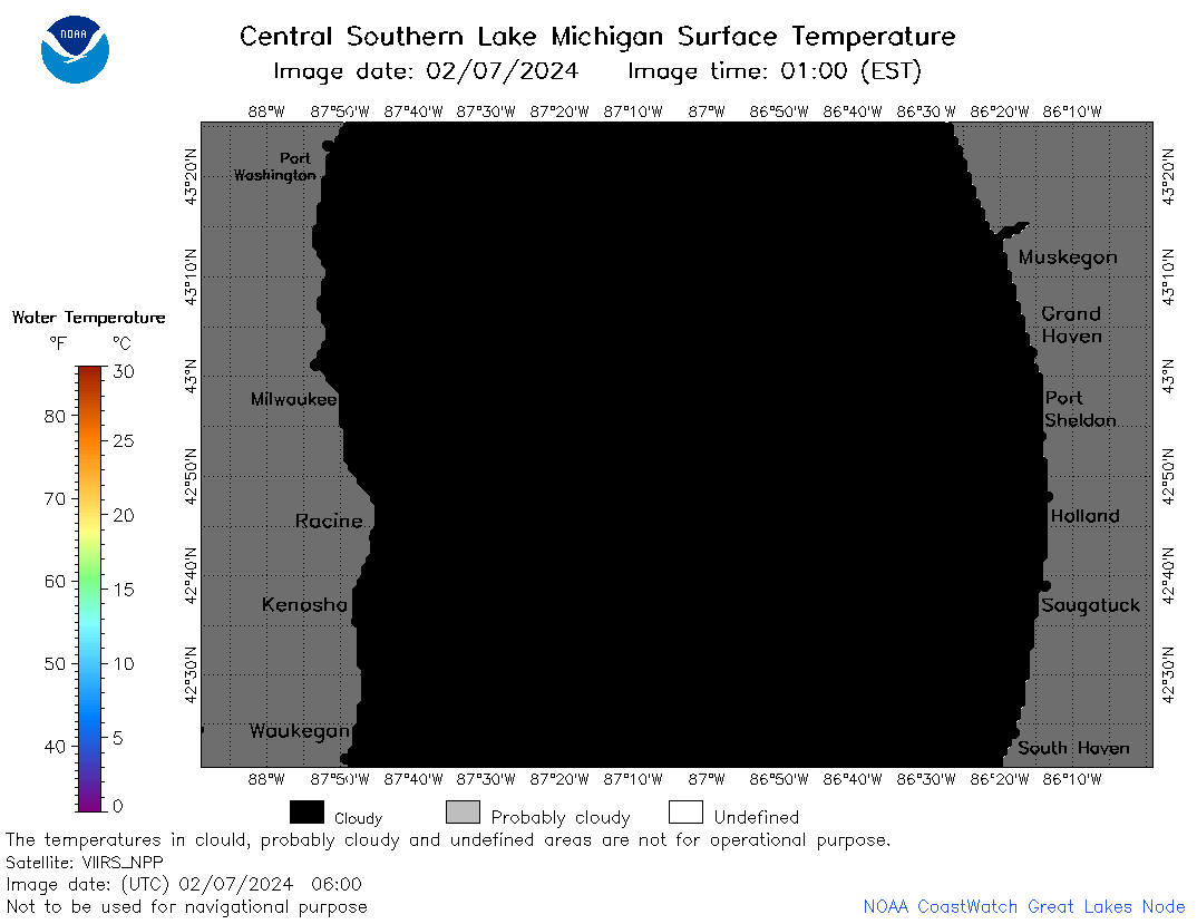
![[IMG]](https://apps.glerl.noaa.gov/erddap/images/fileIcons/image2.gif)  | m4_2024_02_07_0110.png | 07-Feb-2024 17:26 | 24974 | |
 | m4_2024_02_07_0200.png | 07-Feb-2024 17:28 | 54031 | |
 | m4_2024_02_07_0250.png | 07-Feb-2024 17:30 | 57753 | |
 | m4_2024_02_07_0340.png | 07-Feb-2024 17:33 | 46946 | |
 | m4_2024_02_07_0600.png | 07-Feb-2024 17:35 | 21949 | |
 | m4_2024_02_07_0730.png | 07-Feb-2024 17:37 | 21947 | |
 | m4_2024_02_07_0740.png | 07-Feb-2024 17:39 | 35688 | |
 | m4_2024_02_07_0920.png | 07-Feb-2024 17:42 | 24044 | |
 | m4_2024_02_07_1410.png | 07-Feb-2024 18:26 | 21955 | |
 | m4_2024_02_07_1420.png | 07-Feb-2024 18:28 | 24929 | |
 | m4_2024_02_07_1500.png | 07-Feb-2024 18:30 | 24329 | |
 | m4_2024_02_07_1550.png | 07-Feb-2024 20:26 | 21987 | |
 | m4_2024_02_07_1600.png | 07-Feb-2024 20:28 | 23765 | |
 | m4_2024_02_07_1640.png | 07-Feb-2024 20:30 | 23942 | |
 | m4_2024_02_07_1720.png | 07-Feb-2024 20:32 | 23841 | |
 | m4_2024_02_07_1900.png | 07-Feb-2024 21:26 | 23785 | |
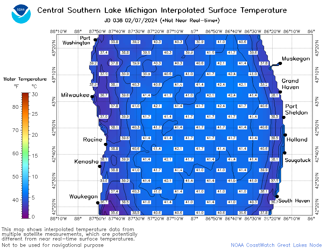 | m4_2024_038.png | 08-Feb-2024 10:12 | 43914 | |