
Easier access to scientific data

Brought to you by NOAA CoastWatch Great Lakes Node
|
ERDDAP
Easier access to scientific data |
|
Brought to you by NOAA CoastWatch Great Lakes Node |
| Dataset Title: | Lake Michigan Central Southern Region Surface Temperature Contour Map (2022- present) 

|
| Institution: | CoastWatch Great Lakes Node (Dataset ID: LM_NRT_TC_m4) |
| Information: | Summary
| License
| Metadata
| Background | Subset
| Data Access Form
| Make a graph
| Subset
| Data Access Form
| Make a graph
|
![[ICO]](https://apps.glerl.noaa.gov/erddap/images/fileIcons/blank.gif) | Name | Last modified | Size | Description |
|---|---|---|---|---|
![[DIR]](https://apps.glerl.noaa.gov/erddap/images/fileIcons/back.gif) | Parent Directory | - | - | |
![[IMG]](https://apps.glerl.noaa.gov/erddap/images/fileIcons/image2.gif) 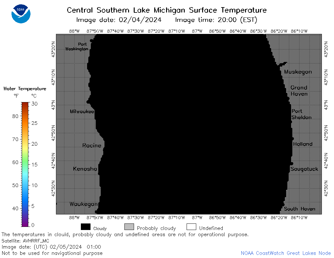 | m4_2024_02_05_0100.png | 05-Feb-2024 06:26 | 21983 | |
 | m4_2024_02_05_0150.png | 05-Feb-2024 06:28 | 70630 | |
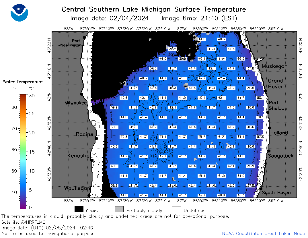 | m4_2024_02_05_0240.png | 05-Feb-2024 06:30 | 61053 | |
 | m4_2024_02_05_0330.png | 05-Feb-2024 06:33 | 55867 | |
 | m4_2024_02_05_0630.png | 05-Feb-2024 11:26 | 38775 | |
 | m4_2024_02_05_0810.png | 05-Feb-2024 13:26 | 42542 | |
 | m4_2024_02_05_0820.png | 05-Feb-2024 14:25 | 23684 | |
 | m4_2024_02_05_0900.png | 05-Feb-2024 14:28 | 24034 | |
 | m4_2024_02_05_1400.png | 05-Feb-2024 22:26 | 21967 | |
 | m4_2024_02_05_1500.png | 05-Feb-2024 22:28 | 35592 | |
 | m4_2024_02_05_1540.png | 05-Feb-2024 22:30 | 37642 | |
 | m4_2024_02_05_1550.png | 05-Feb-2024 22:32 | 31507 | |
 | m4_2024_02_05_1640.png | 05-Feb-2024 22:35 | 36950 | |
 | m4_2024_02_05_1720.png | 05-Feb-2024 22:37 | 21965 | |
 | m4_2024_02_05_1800.png | 05-Feb-2024 22:39 | 38106 | |
 | m4_2024_02_05_1940.png | 05-Feb-2024 22:42 | 37180 | |
 | m4_2024_036.png | 06-Feb-2024 10:12 | 44178 | |