
Easier access to scientific data

Brought to you by NOAA CoastWatch Great Lakes Node
|
ERDDAP
Easier access to scientific data |
|
Brought to you by NOAA CoastWatch Great Lakes Node |
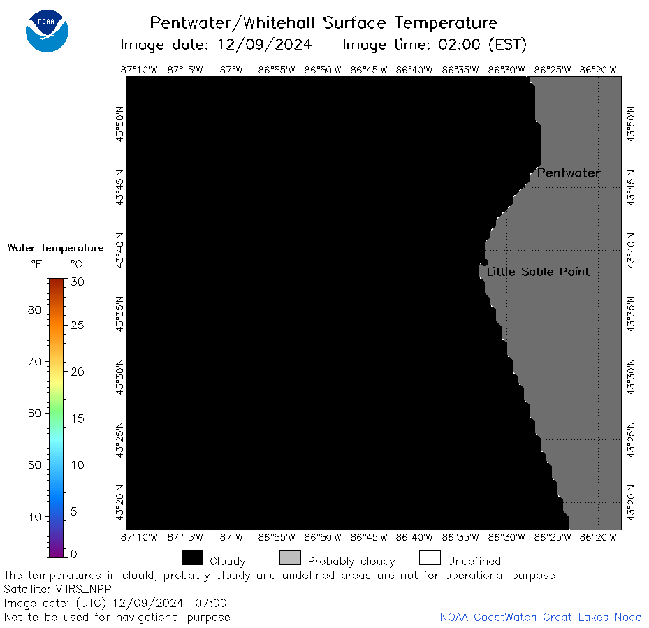
| Dataset Title: | Lake Michigan Pentwater/Whitehall Surface Temperature Contour Map (2022- present) 

|
| Institution: | CoastWatch Great Lakes Node (Dataset ID: LM_NRT_TC_m32) |
| Information: | Summary
| License
| Metadata
| Background | Subset
| Data Access Form
| Make a graph
| Subset
| Data Access Form
| Make a graph
|
![[ICO]](https://apps.glerl.noaa.gov/erddap/images/fileIcons/blank.gif) | Name | Last modified | Size | Description |
|---|---|---|---|---|
![[DIR]](https://apps.glerl.noaa.gov/erddap/images/fileIcons/back.gif) | Parent Directory | - | - | |
![[IMG]](https://apps.glerl.noaa.gov/erddap/images/fileIcons/image2.gif)  | m32_2024_12_09_0540.png | 09-Dec-2024 08:35 | 18120 | |
 | m32_2024_12_09_0630.png | 09-Dec-2024 08:38 | 19523 | |
 | m32_2024_12_09_0640.png | 09-Dec-2024 09:33 | 18610 | |
 | m32_2024_12_09_0720.png | 09-Dec-2024 09:36 | 18085 | |
 | m32_2024_12_09_0700.png | 09-Dec-2024 10:34 | 18097 | |
 | m32_2024_12_09_0810.png | 09-Dec-2024 10:37 | 18542 | |
 | m32_2024_12_09_0820.png | 09-Dec-2024 10:39 | 18097 | |
 | m32_2024_12_09_0900.png | 09-Dec-2024 11:32 | 18554 | |
 | m32_2024_12_09_0130.png | 09-Dec-2024 12:34 | 18122 | |
 | m32_2024_12_09_0210.png | 09-Dec-2024 12:37 | 19216 | |
 | m32_2024_12_09_0840.png | 09-Dec-2024 12:39 | 18119 | |
 | m32_2024_12_09_0310.png | 09-Dec-2024 13:33 | 32769 | |
 | m32_2024_12_09_0350.png | 09-Dec-2024 13:35 | 18108 | |
 | m32_2024_344.png | 10-Dec-2024 10:20 | 33926 | |