
Easier access to scientific data

Brought to you by NOAA CoastWatch Great Lakes Node
|
ERDDAP
Easier access to scientific data |
|
Brought to you by NOAA CoastWatch Great Lakes Node |
| Dataset Title: | Lake Huron Central Region Surface Temperature Contour Map (2022-present)


|
| Institution: | CoastWatch Great Lakes Node (Dataset ID: LH_NRT_TC_h2) |
| Information: | Summary
| License
| Metadata
| Background | Subset
| Data Access Form
| Make a graph
| Subset
| Data Access Form
| Make a graph
|
![[ICO]](https://apps.glerl.noaa.gov/erddap/images/fileIcons/blank.gif) | Name | Last modified | Size | Description |
|---|---|---|---|---|
![[DIR]](https://apps.glerl.noaa.gov/erddap/images/fileIcons/back.gif) | Parent Directory | - | - | |
![[IMG]](https://apps.glerl.noaa.gov/erddap/images/fileIcons/image2.gif)  | h2_2024_01_20_0130.png | 20-Jan-2024 06:26 | 33804 | |
 | h2_2024_01_20_0220.png | 20-Jan-2024 06:28 | 42391 | |
 | h2_2024_01_20_0310.png | 20-Jan-2024 06:30 | 33354 | |
 | h2_2024_01_20_0630.png | 20-Jan-2024 10:26 | 38865 | |
 | h2_2024_01_20_0720.png | 20-Jan-2024 10:28 | 41167 | |
 | h2_2024_01_20_0810.png | 20-Jan-2024 12:26 | 33787 | |
 | h2_2024_01_20_0820.png | 20-Jan-2024 12:28 | 27755 | |
 | h2_2024_01_20_0900.png | 20-Jan-2024 12:30 | 32881 | |
 | h2_2024_01_20_1430.png | 20-Jan-2024 18:26 | 32935 | |
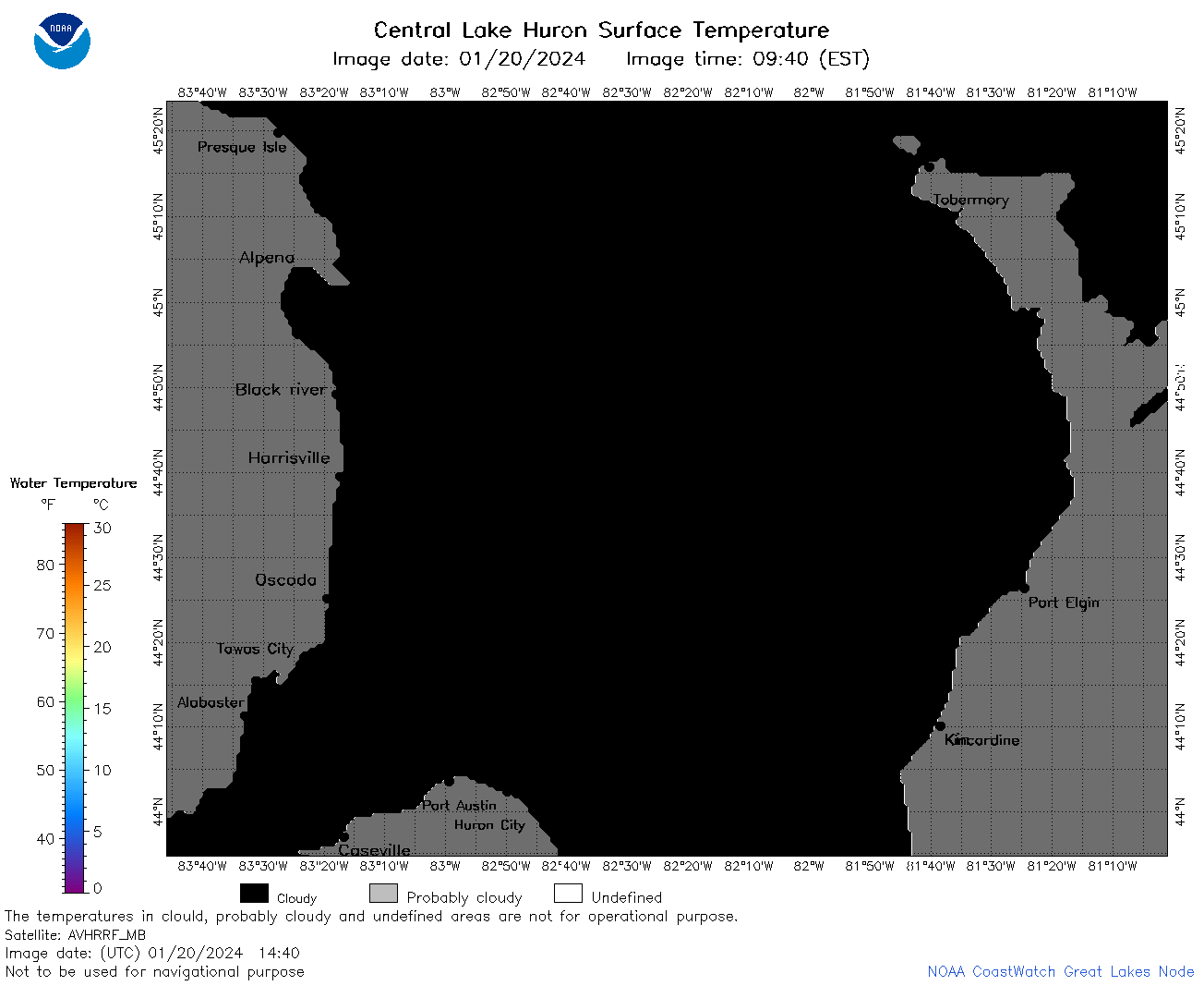 | h2_2024_01_20_1440.png | 20-Jan-2024 18:28 | 27771 | |
 | h2_2024_01_20_1530.png | 20-Jan-2024 19:26 | 35450 | |
 | h2_2024_01_20_1610.png | 20-Jan-2024 19:28 | 33317 | |
 | h2_2024_01_20_1620.png | 20-Jan-2024 19:30 | 32875 | |
 | h2_2024_01_20_1710.png | 20-Jan-2024 22:26 | 32868 | |
 | h2_2024_01_20_1800.png | 20-Jan-2024 20:26 | 36643 | |
 | h2_2024_020.png | 21-Jan-2024 10:14 | 76851 | |