
Easier access to scientific data

Brought to you by NOAA CoastWatch Great Lakes Node
|
ERDDAP
Easier access to scientific data |
|
Brought to you by NOAA CoastWatch Great Lakes Node |
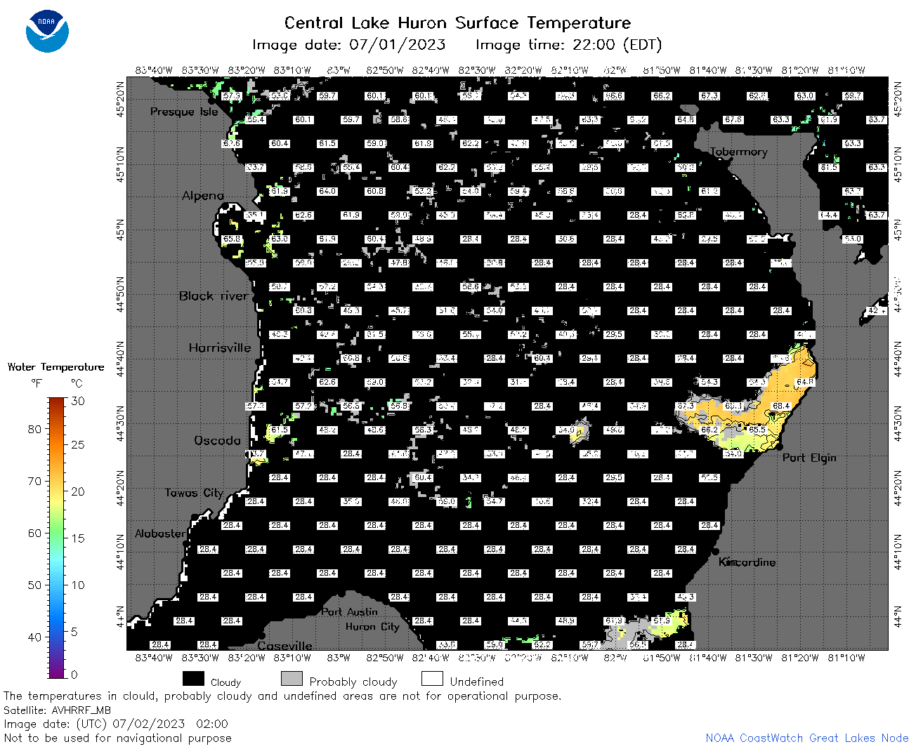
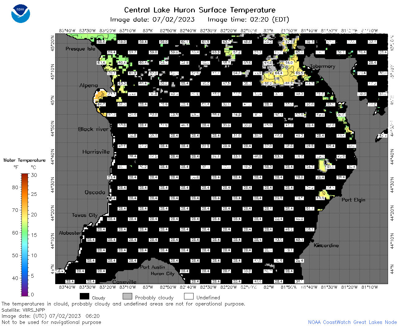
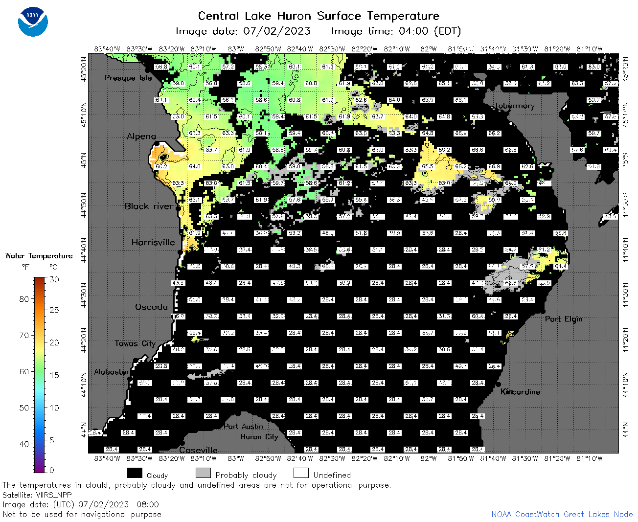
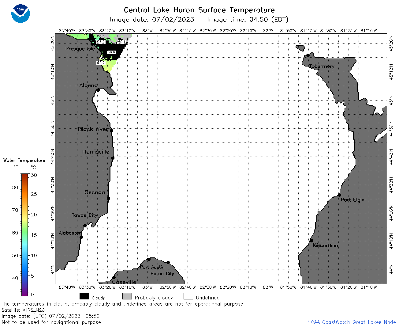
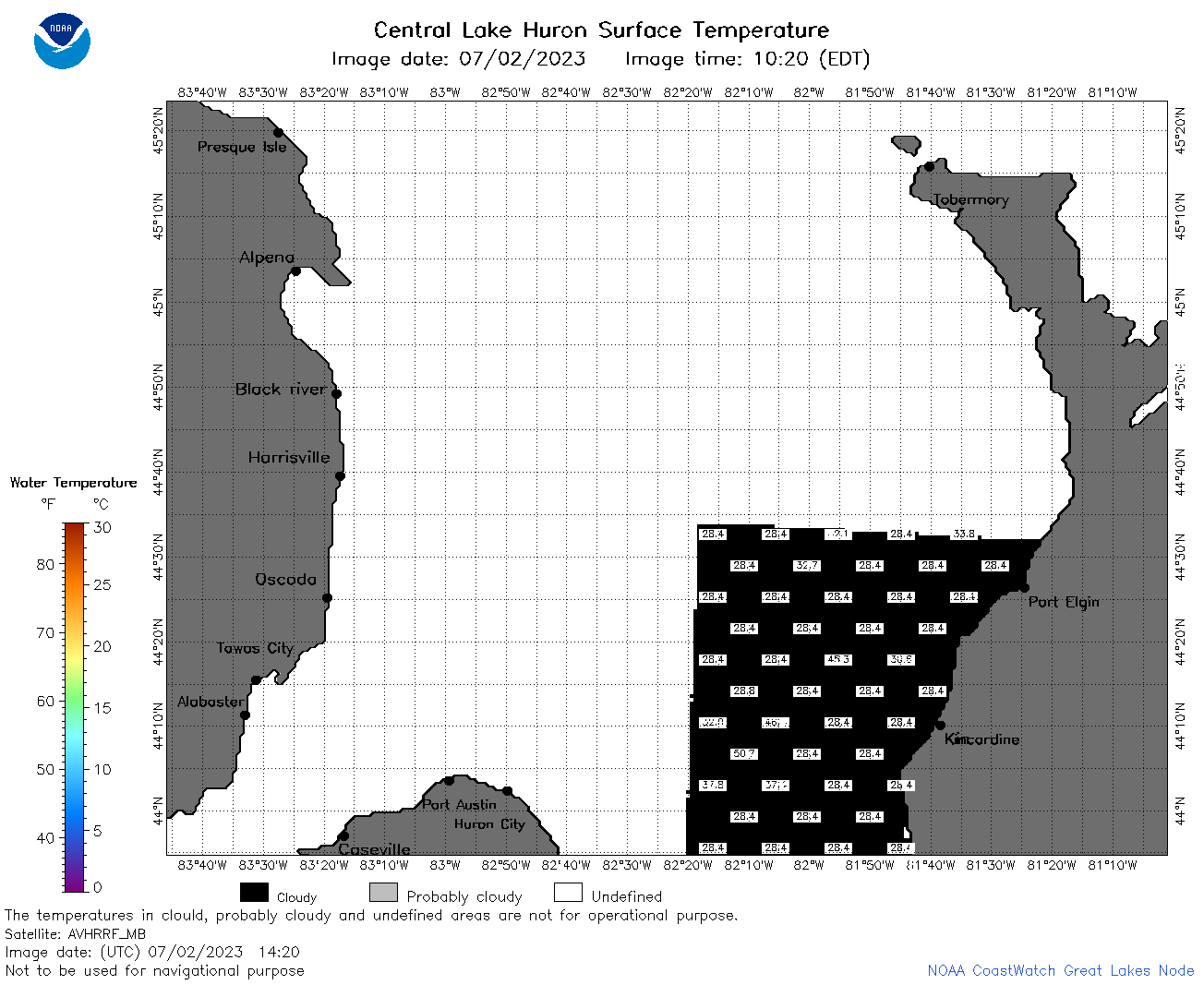
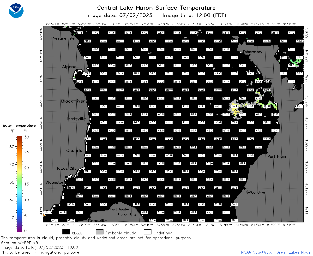
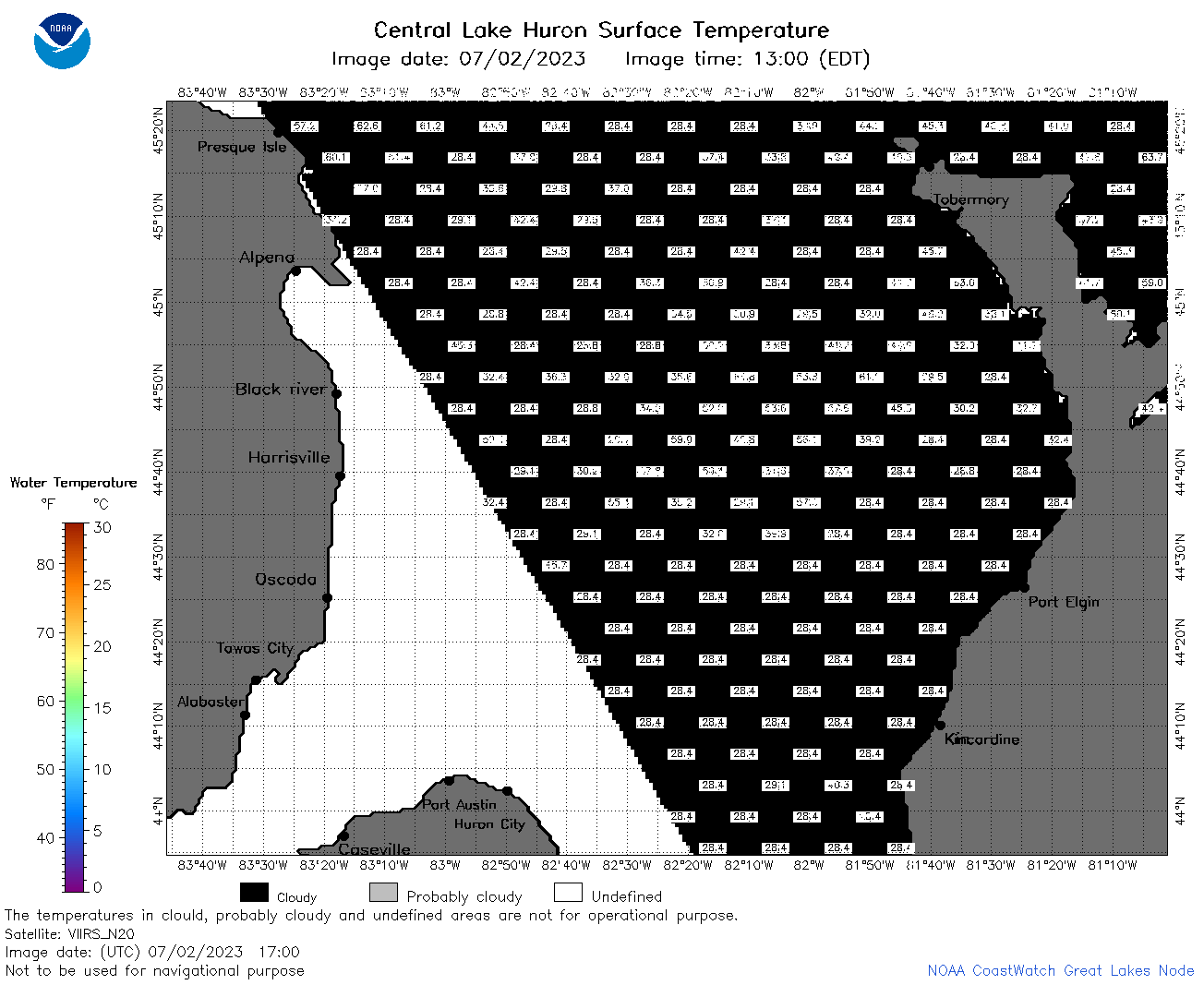
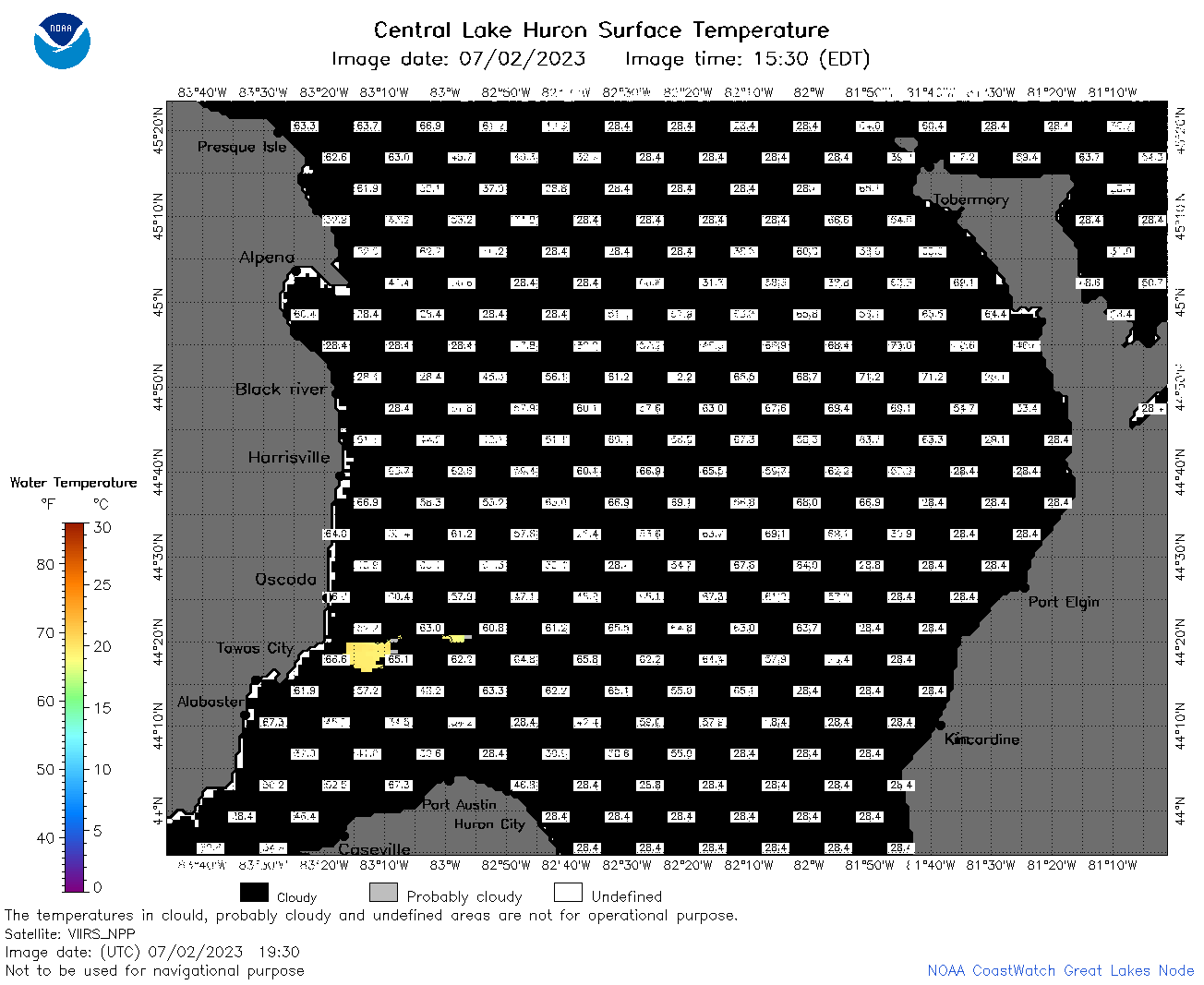
| Dataset Title: | Lake Huron Central Region Surface Temperature Contour Map (2022-present)


|
| Institution: | CoastWatch Great Lakes Node (Dataset ID: LH_NRT_TC_h2) |
| Information: | Summary
| License
| Metadata
| Background | Subset
| Data Access Form
| Make a graph
| Subset
| Data Access Form
| Make a graph
|
![[ICO]](https://apps.glerl.noaa.gov/erddap/images/fileIcons/blank.gif) | Name | Last modified | Size | Description |
|---|---|---|---|---|
![[DIR]](https://apps.glerl.noaa.gov/erddap/images/fileIcons/back.gif) | Parent Directory | - | - | |
![[IMG]](https://apps.glerl.noaa.gov/erddap/images/fileIcons/image2.gif)  | h2_2023_07_02_0110.png | 02-Jul-2023 05:26 | 63436 | |
 | h2_2023_07_02_0200.png | 02-Jul-2023 05:28 | 54333 | |
 | h2_2023_07_02_0250.png | 02-Jul-2023 06:26 | 48458 | |
 | h2_2023_07_02_0620.png | 02-Jul-2023 10:25 | 50602 | |
 | h2_2023_07_02_0710.png | 02-Jul-2023 10:28 | 58931 | |
 | h2_2023_07_02_0800.png | 02-Jul-2023 11:26 | 66419 | |
 | h2_2023_07_02_0850.png | 02-Jul-2023 11:28 | 33526 | |
 | h2_2023_07_02_1410.png | 02-Jul-2023 17:25 | 38375 | |
 | h2_2023_07_02_1420.png | 02-Jul-2023 17:27 | 34428 | |
 | h2_2023_07_02_1510.png | 02-Jul-2023 19:26 | 44962 | |
 | h2_2023_07_02_1600.png | 02-Jul-2023 19:30 | 43917 | |
 | h2_2023_07_02_1650.png | 02-Jul-2023 21:26 | 37583 | |
 | h2_2023_07_02_1700.png | 02-Jul-2023 19:33 | 39723 | |
 | h2_2023_07_02_1750.png | 02-Jul-2023 20:26 | 50302 | |
 | h2_2023_07_02_1840.png | 02-Jul-2023 21:28 | 59956 | |
 | h2_2023_07_02_1930.png | 02-Jul-2023 22:26 | 40550 | |
 | h2_2023_183.png | 03-Jul-2023 09:14 | 75817 | |