
Easier access to scientific data

Brought to you by NOAA CoastWatch Great Lakes Node
|
ERDDAP
Easier access to scientific data |
|
Brought to you by NOAA CoastWatch Great Lakes Node |
| Dataset Title: | Lake Huron Central Region Surface Temperature Contour Map (2022-present)


|
| Institution: | CoastWatch Great Lakes Node (Dataset ID: LH_NRT_TC_h2) |
| Information: | Summary
| License
| Metadata
| Background | Subset
| Data Access Form
| Make a graph
| Subset
| Data Access Form
| Make a graph
|
![[ICO]](https://apps.glerl.noaa.gov/erddap/images/fileIcons/blank.gif) | Name | Last modified | Size | Description |
|---|---|---|---|---|
![[DIR]](https://apps.glerl.noaa.gov/erddap/images/fileIcons/back.gif) | Parent Directory | - | - | |
![[IMG]](https://apps.glerl.noaa.gov/erddap/images/fileIcons/image2.gif) 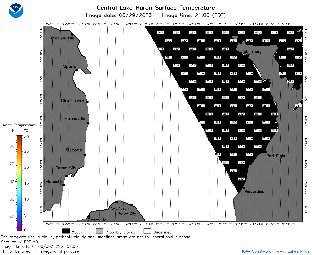 | h2_2023_06_30_0100.png | 30-Jun-2023 05:25 | 36478 | |
 | h2_2023_06_30_0150.png | 30-Jun-2023 05:28 | 45360 | |
 | h2_2023_06_30_0240.png | 30-Jun-2023 05:32 | 45052 | |
 | h2_2023_06_30_0330.png | 30-Jun-2023 06:26 | 37678 | |
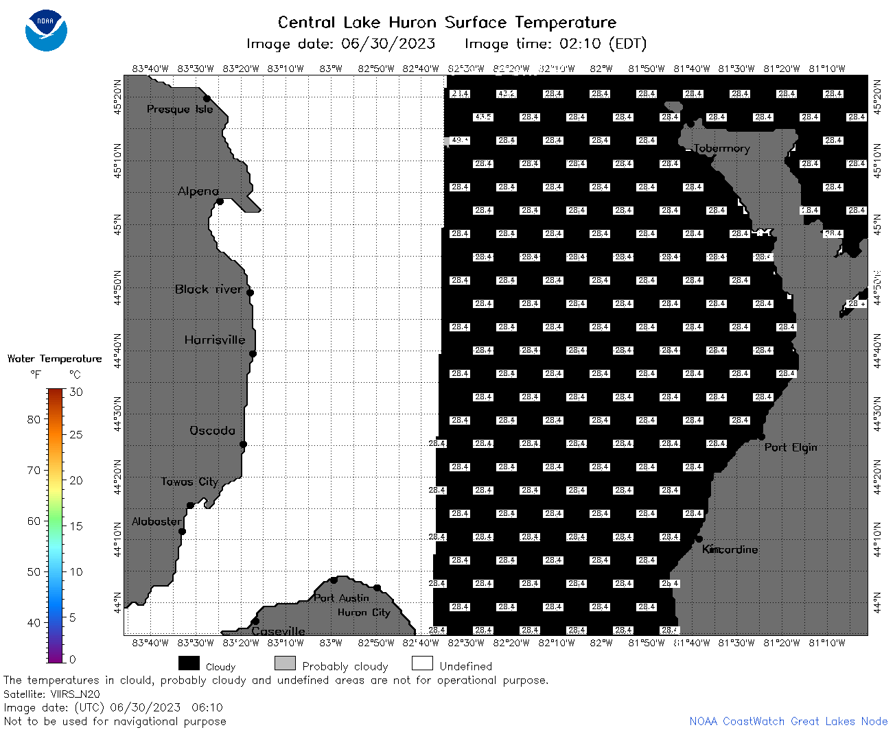 | h2_2023_06_30_0610.png | 30-Jun-2023 10:25 | 36325 | |
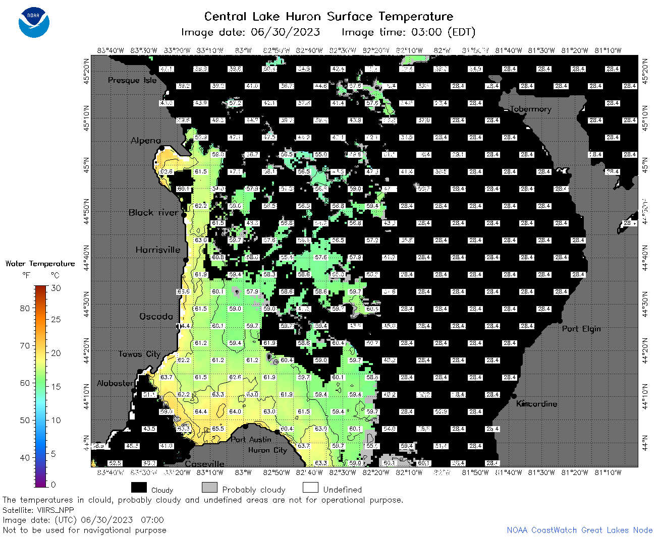 | h2_2023_06_30_0700.png | 30-Jun-2023 10:28 | 70266 | |
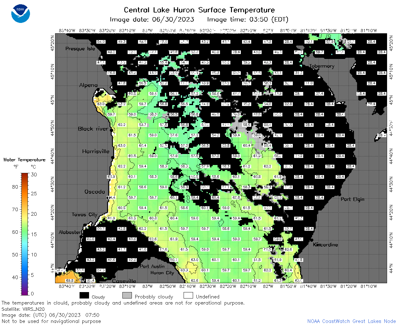 | h2_2023_06_30_0750.png | 30-Jun-2023 11:26 | 83431 | |
 | h2_2023_06_30_0840.png | 30-Jun-2023 12:26 | 90553 | |
 | h2_2023_06_30_1500.png | 30-Jun-2023 18:28 | 40928 | |
 | h2_2023_06_30_1550.png | 30-Jun-2023 20:26 | 41243 | |
 | h2_2023_06_30_1640.png | 30-Jun-2023 19:26 | 40743 | |
 | h2_2023_06_30_1730.png | 30-Jun-2023 20:28 | 56509 | |
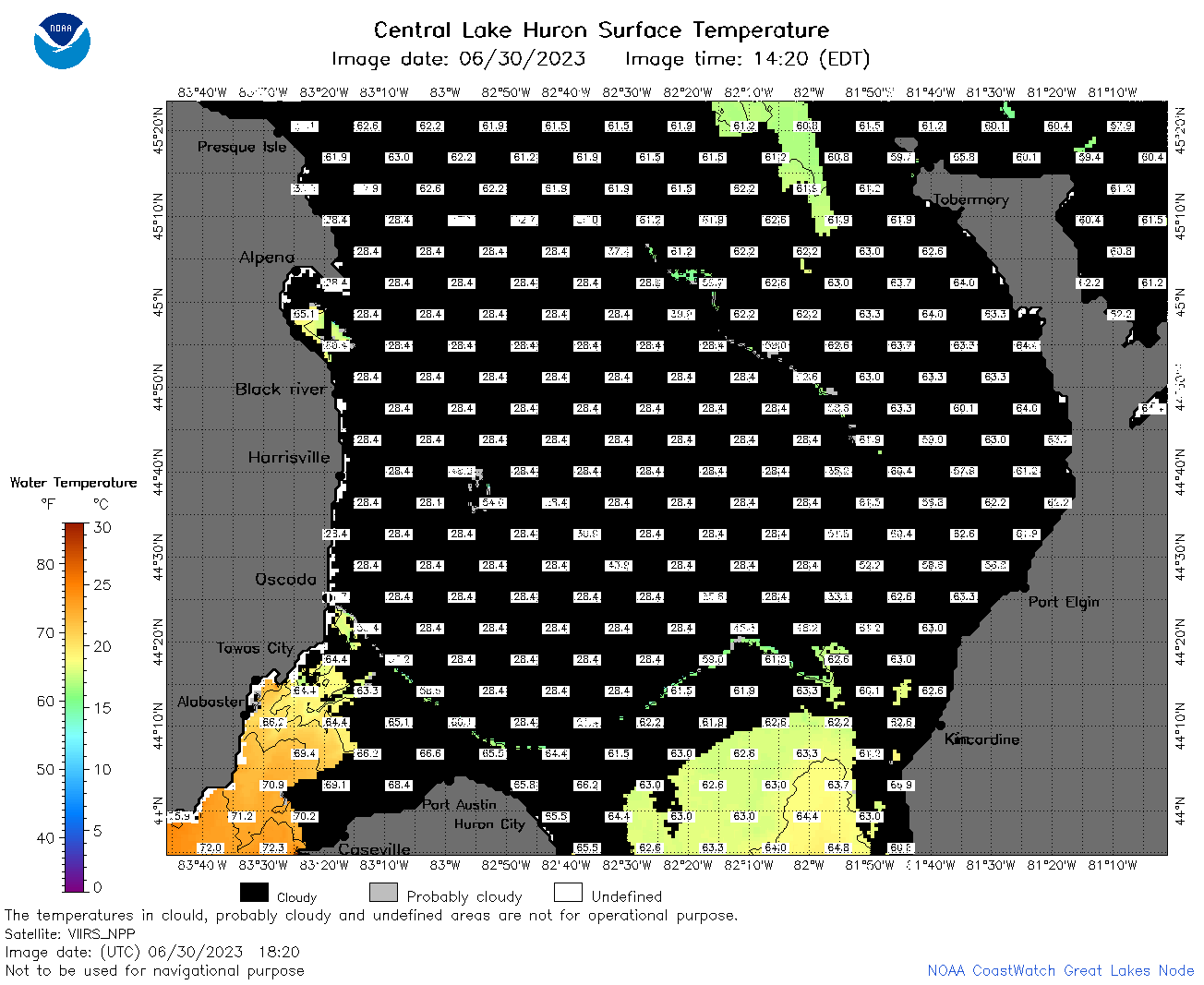 | h2_2023_06_30_1820.png | 30-Jun-2023 21:28 | 51119 | |
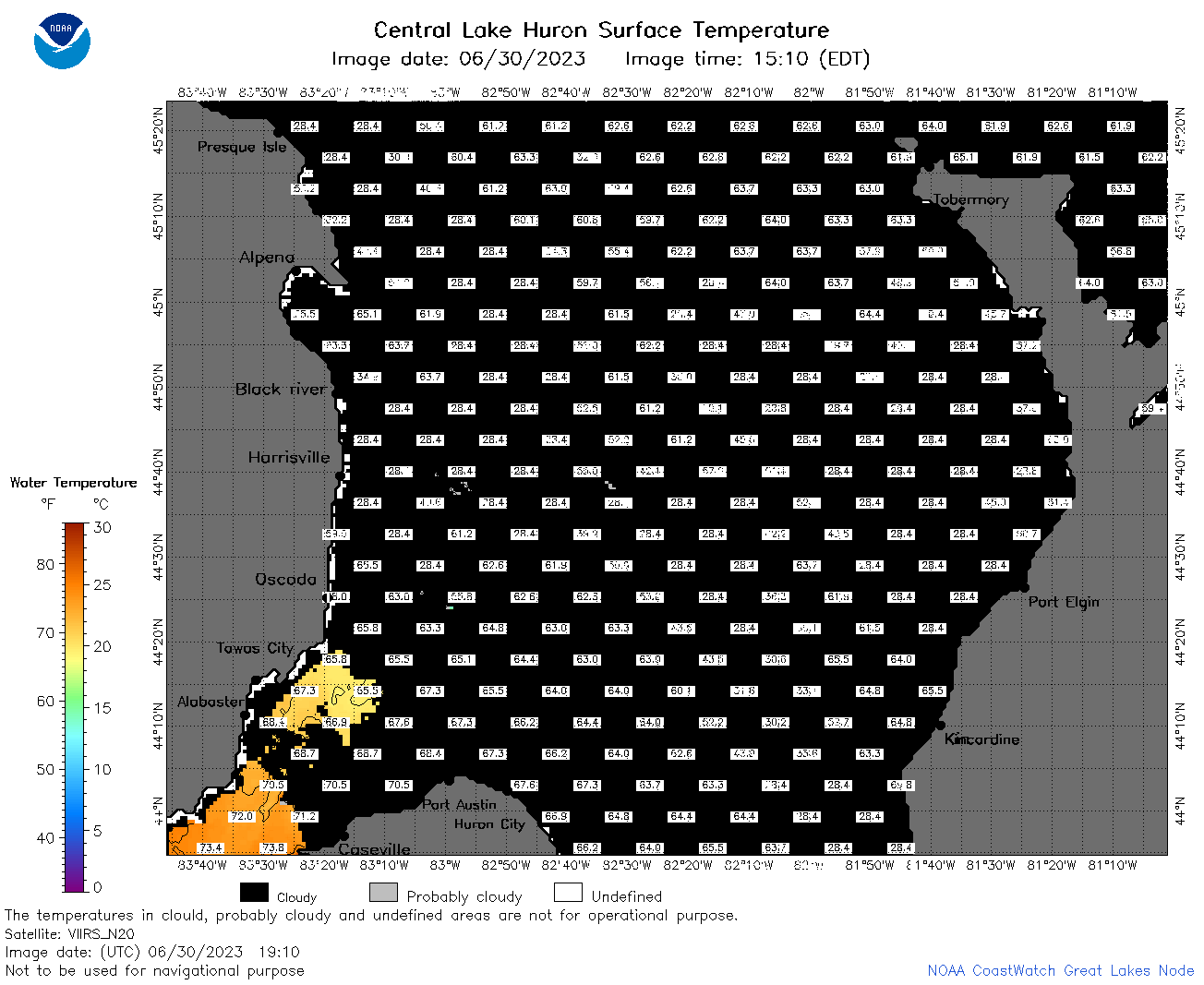 | h2_2023_06_30_1910.png | 30-Jun-2023 22:28 | 43405 | |
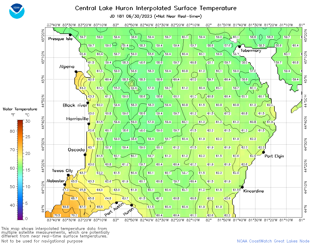 | h2_2023_181.png | 01-Jul-2023 09:14 | 68180 | |