
Easier access to scientific data

Brought to you by NOAA CoastWatch Great Lakes Node
|
ERDDAP
Easier access to scientific data |
|
Brought to you by NOAA CoastWatch Great Lakes Node |
| Dataset Title: | Lake Huron Central Region Surface Temperature Contour Map (2022-present)


|
| Institution: | CoastWatch Great Lakes Node (Dataset ID: LH_NRT_TC_h2) |
| Information: | Summary
| License
| Metadata
| Background | Subset
| Data Access Form
| Make a graph
| Subset
| Data Access Form
| Make a graph
|
![[ICO]](https://apps.glerl.noaa.gov/erddap/images/fileIcons/blank.gif) | Name | Last modified | Size | Description |
|---|---|---|---|---|
![[DIR]](https://apps.glerl.noaa.gov/erddap/images/fileIcons/back.gif) | Parent Directory | - | - | |
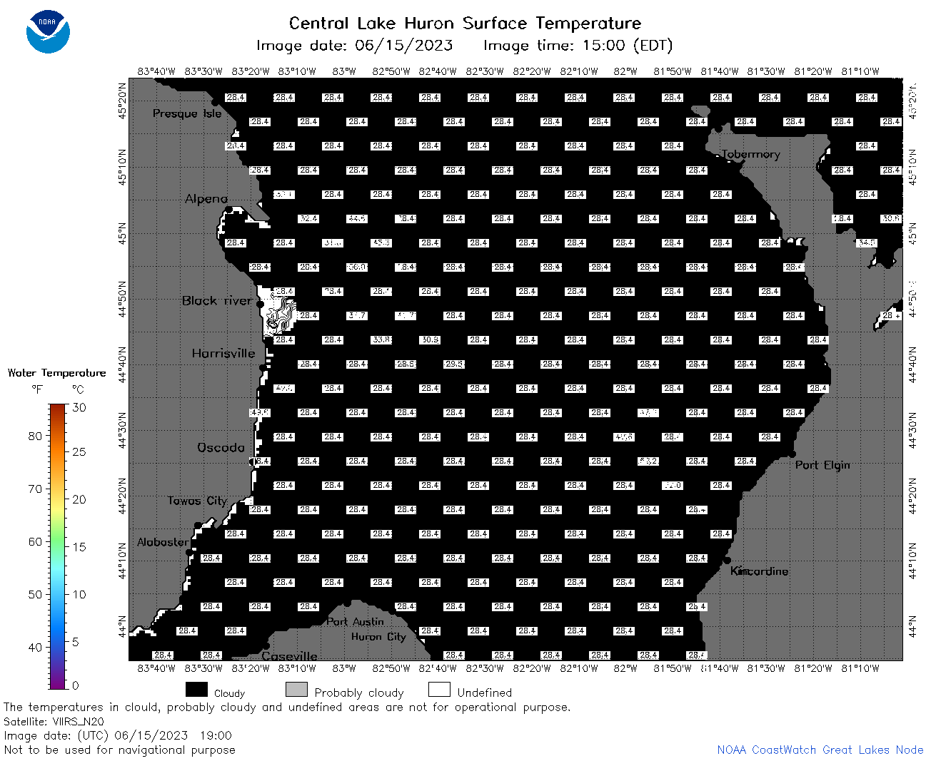
![[IMG]](https://apps.glerl.noaa.gov/erddap/images/fileIcons/image2.gif)  | h2_2023_06_15_0110.png | 15-Jun-2023 05:26 | 47622 | |
 | h2_2023_06_15_0200.png | 15-Jun-2023 05:28 | 48775 | |
 | h2_2023_06_15_0250.png | 15-Jun-2023 05:32 | 45668 | |
 | h2_2023_06_15_0640.png | 15-Jun-2023 10:26 | 62992 | |
 | h2_2023_06_15_0730.png | 15-Jun-2023 10:28 | 66428 | |
 | h2_2023_06_15_0820.png | 15-Jun-2023 12:26 | 56617 | |
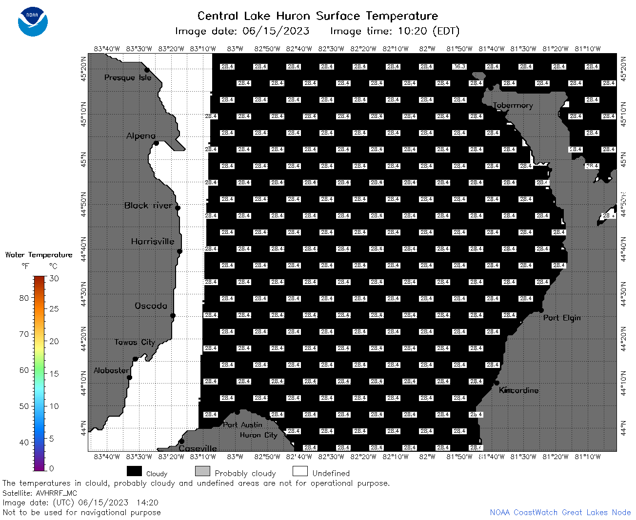 | h2_2023_06_15_1420.png | 15-Jun-2023 18:26 | 34831 | |
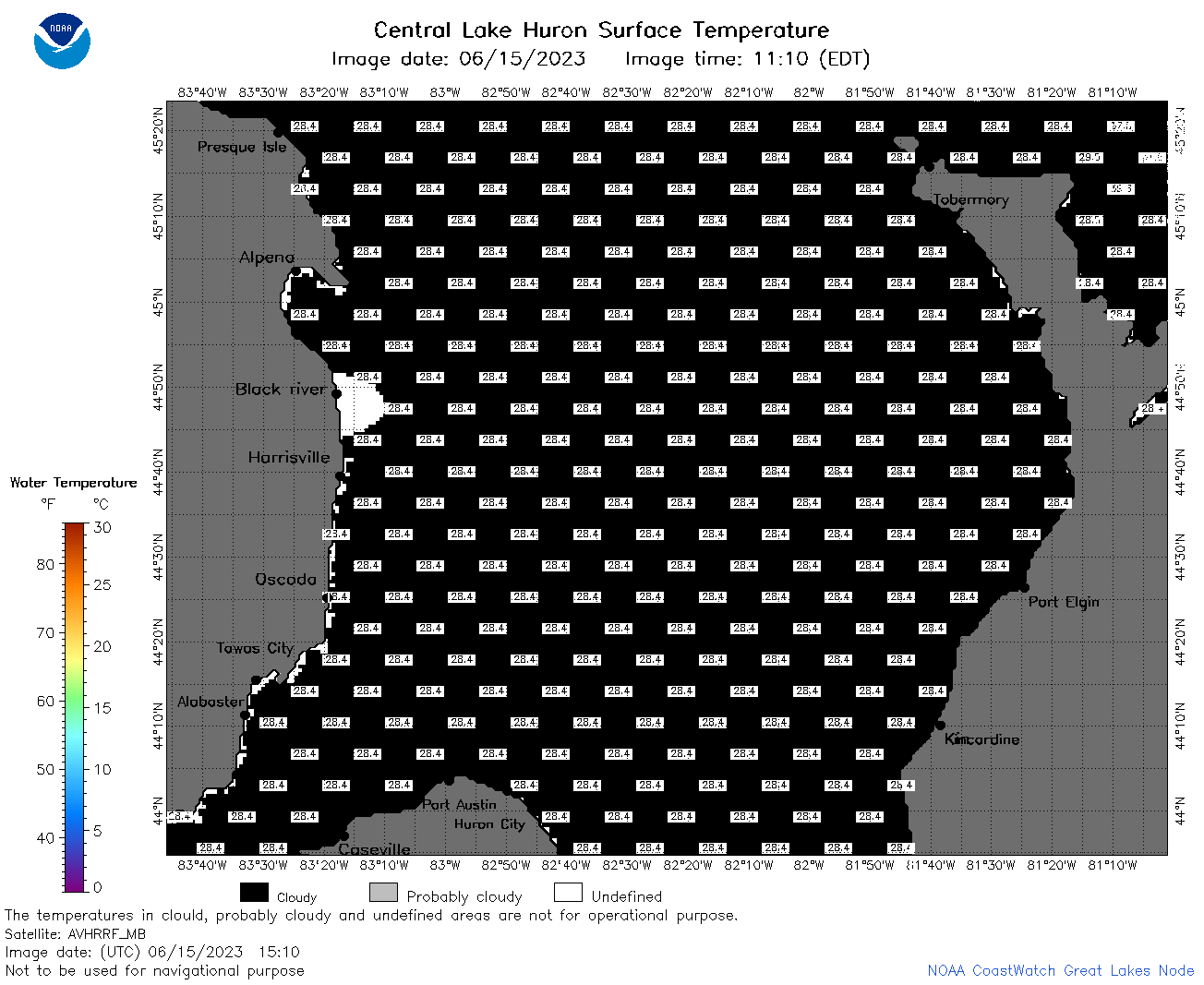 | h2_2023_06_15_1510.png | 15-Jun-2023 18:28 | 33938 | |
 | h2_2023_06_15_1600.png | 15-Jun-2023 20:26 | 34598 | |
 | h2_2023_06_15_1650.png | 15-Jun-2023 20:28 | 37281 | |
 | h2_2023_06_15_1710.png | 15-Jun-2023 20:30 | 33872 | |
 | h2_2023_06_15_1720.png | 15-Jun-2023 20:33 | 35928 | |
 | h2_2023_06_15_1810.png | 15-Jun-2023 23:26 | 35760 | |
 | h2_2023_06_15_1900.png | 15-Jun-2023 21:32 | 35165 | |
 | h2_2023_166.png | 16-Jun-2023 09:14 | 75661 | |