
Easier access to scientific data

Brought to you by NOAA CoastWatch Great Lakes Node
|
ERDDAP
Easier access to scientific data |
|
Brought to you by NOAA CoastWatch Great Lakes Node |
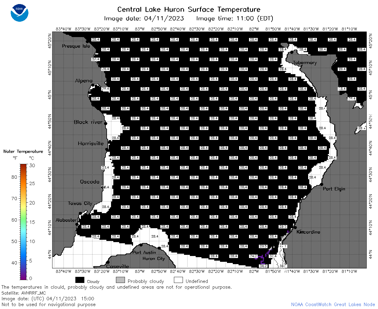
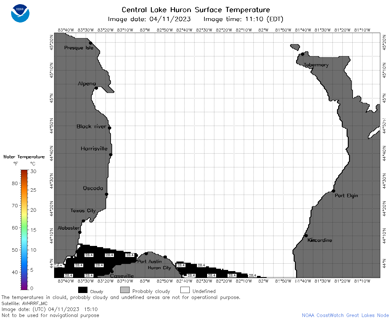
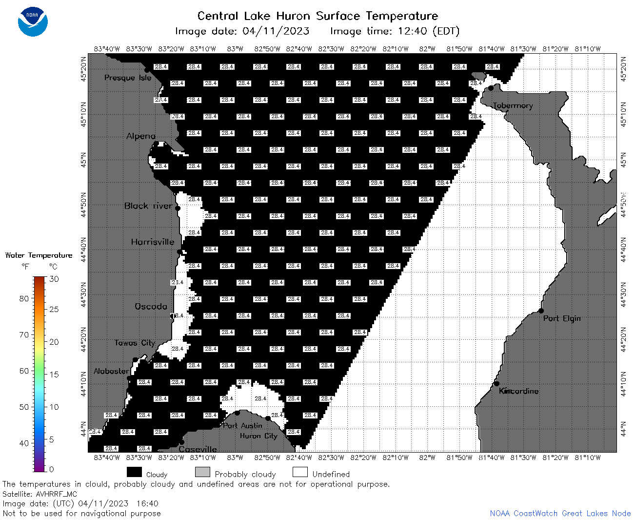
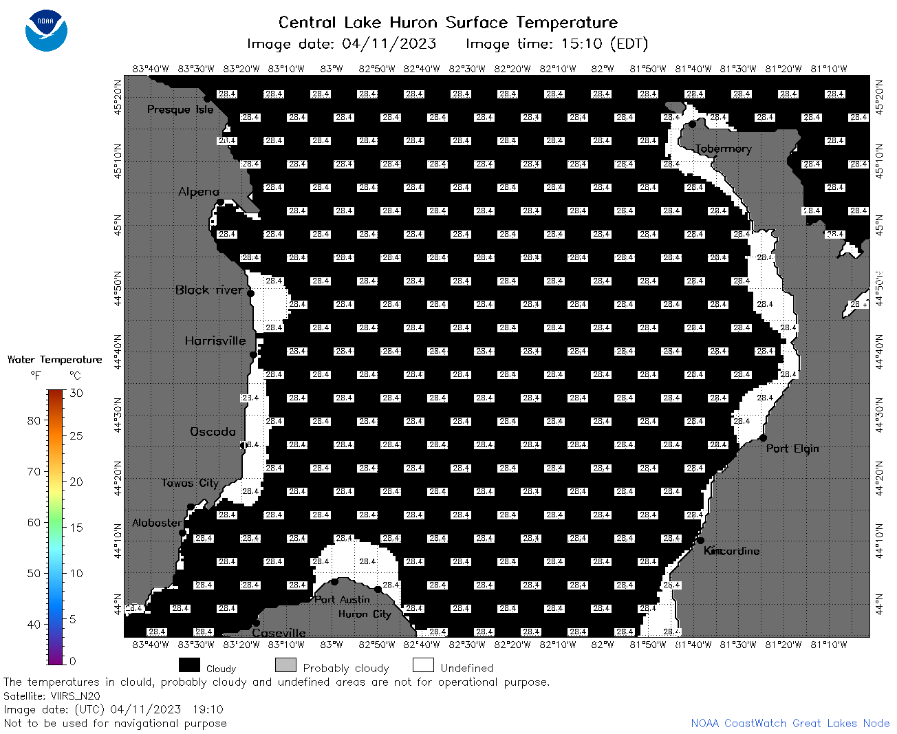
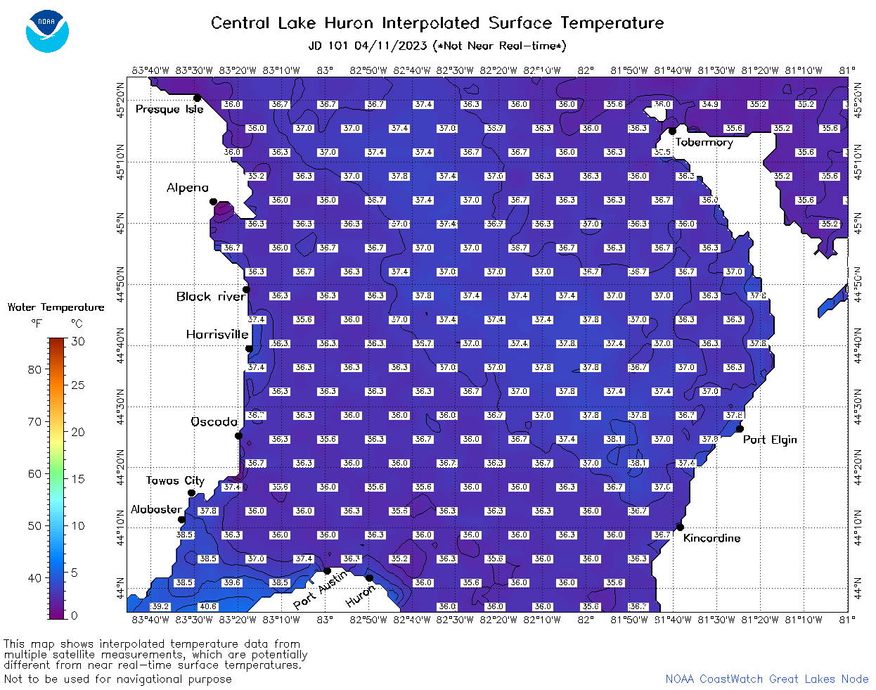
| Dataset Title: | Lake Huron Central Region Surface Temperature Contour Map (2022-present)


|
| Institution: | CoastWatch Great Lakes Node (Dataset ID: LH_NRT_TC_h2) |
| Information: | Summary
| License
| Metadata
| Background | Subset
| Data Access Form
| Make a graph
| Subset
| Data Access Form
| Make a graph
|
![[ICO]](https://apps.glerl.noaa.gov/erddap/images/fileIcons/blank.gif) | Name | Last modified | Size | Description |
|---|---|---|---|---|
![[DIR]](https://apps.glerl.noaa.gov/erddap/images/fileIcons/back.gif) | Parent Directory | - | - | |
![[IMG]](https://apps.glerl.noaa.gov/erddap/images/fileIcons/image2.gif)  | h2_2023_04_11_0110.png | 11-Apr-2023 05:25 | 55912 | |
 | h2_2023_04_11_0200.png | 11-Apr-2023 05:28 | 55054 | |
 | h2_2023_04_11_0250.png | 11-Apr-2023 05:30 | 49274 | |
 | h2_2023_04_11_0340.png | 11-Apr-2023 06:26 | 34063 | |
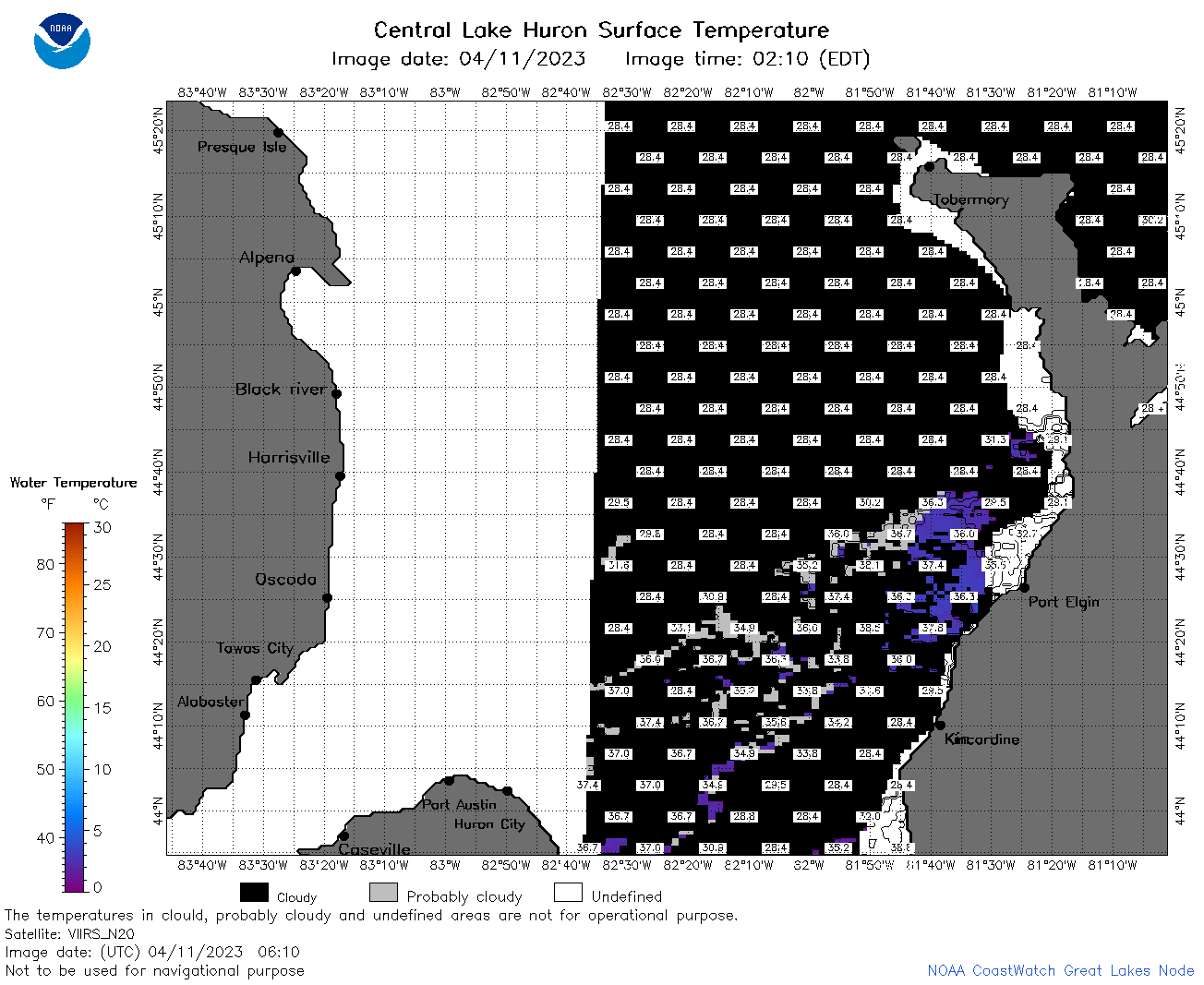 | h2_2023_04_11_0610.png | 11-Apr-2023 09:25 | 45060 | |
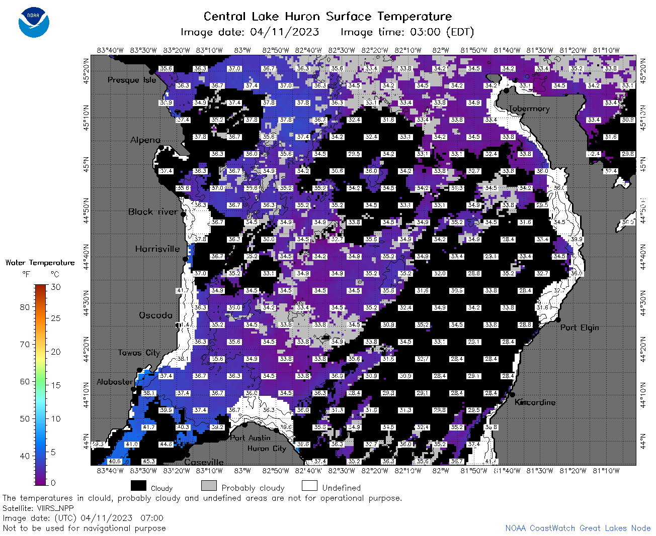 | h2_2023_04_11_0700.png | 11-Apr-2023 10:26 | 88719 | |
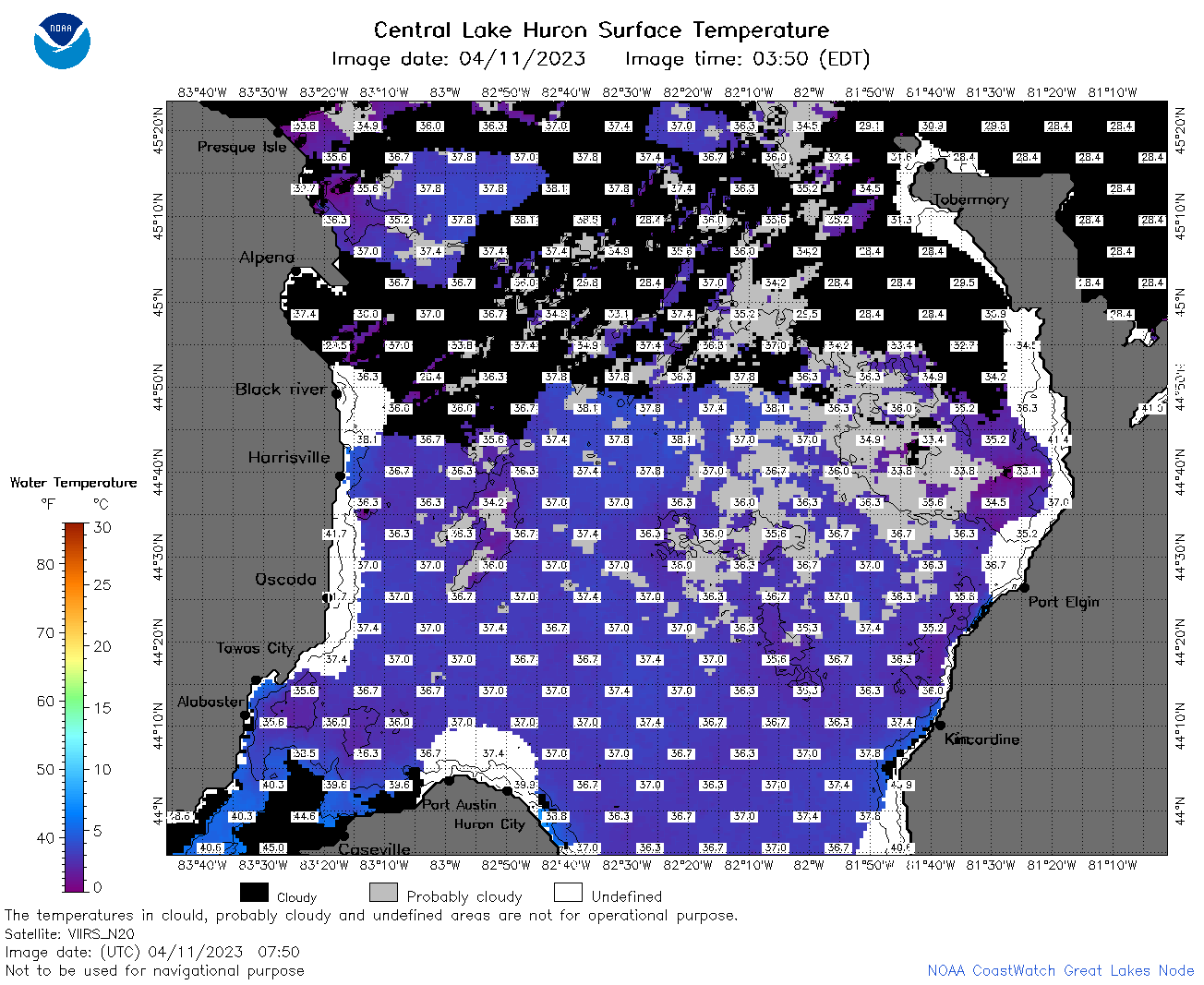 | h2_2023_04_11_0750.png | 11-Apr-2023 11:26 | 91342 | |
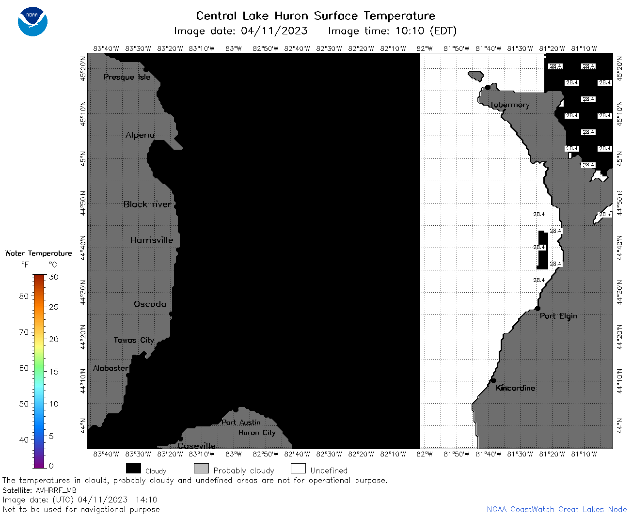 | h2_2023_04_11_1410.png | 11-Apr-2023 17:25 | 33551 | |
 | h2_2023_04_11_1500.png | 11-Apr-2023 19:25 | 36903 | |
 | h2_2023_04_11_1510.png | 11-Apr-2023 19:28 | 32354 | |
 | h2_2023_04_11_1550.png | 11-Apr-2023 18:26 | 35962 | |
 | h2_2023_04_11_1640.png | 11-Apr-2023 21:25 | 36639 | |
 | h2_2023_04_11_1730.png | 11-Apr-2023 20:28 | 36061 | |
 | h2_2023_04_11_1830.png | 11-Apr-2023 21:32 | 36097 | |
 | h2_2023_04_11_1910.png | 11-Apr-2023 22:26 | 35992 | |
 | h2_2023_101.png | 12-Apr-2023 09:14 | 62184 | |