
Easier access to scientific data

Brought to you by NOAA CoastWatch Great Lakes Node
|
ERDDAP
Easier access to scientific data |
|
Brought to you by NOAA CoastWatch Great Lakes Node |
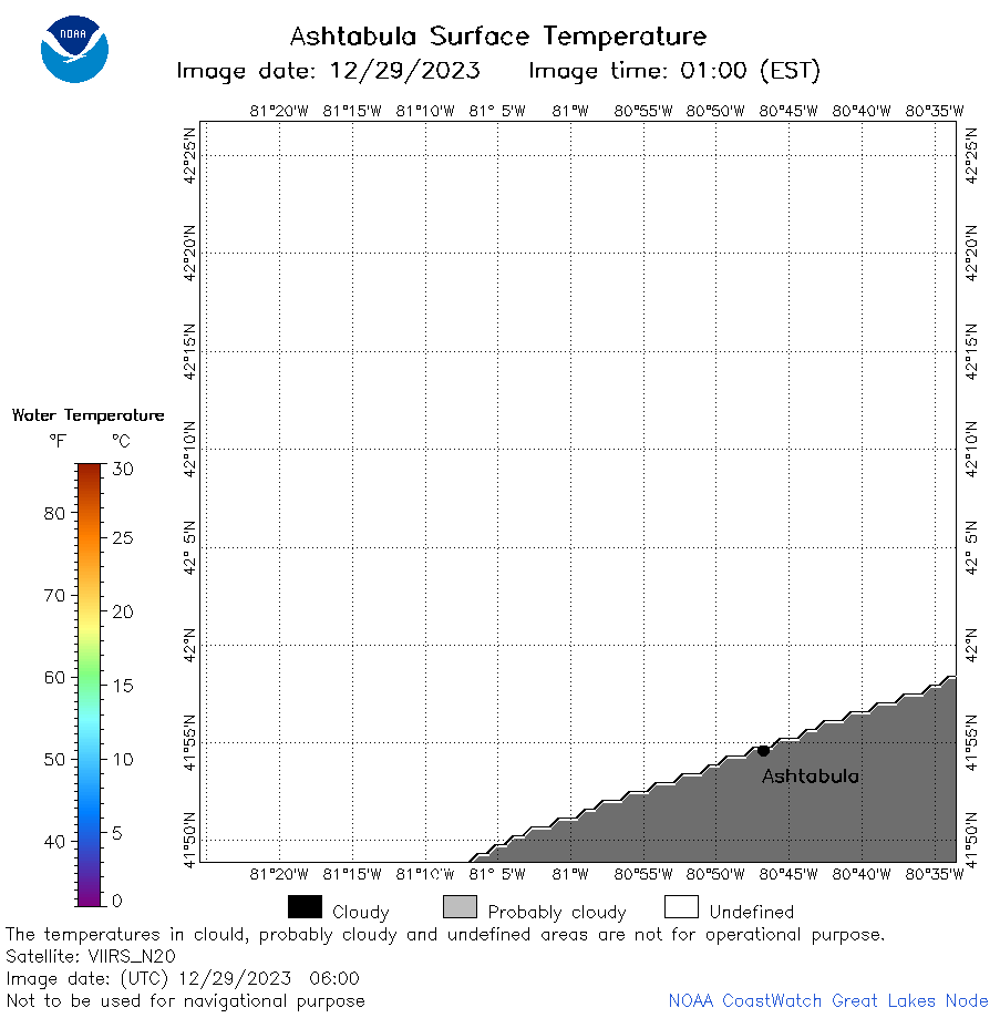
| Dataset Title: | Lake Erie Ashtabula Surface Temperature Contour Map (2022-present)


|
| Institution: | CoastWatch Great Lakes Node (Dataset ID: LE_NRT_TC_e22) |
| Information: | Summary
| License
| Metadata
| Background | Subset
| Data Access Form
| Make a graph
| Subset
| Data Access Form
| Make a graph
|
![[ICO]](https://apps.glerl.noaa.gov/erddap/images/fileIcons/blank.gif) | Name | Last modified | Size | Description |
|---|---|---|---|---|
![[DIR]](https://apps.glerl.noaa.gov/erddap/images/fileIcons/back.gif) | Parent Directory | - | - | |
![[IMG]](https://apps.glerl.noaa.gov/erddap/images/fileIcons/image2.gif)  | e22_2023_12_29_0130.png | 29-Dec-2023 06:42 | 17279 | |
 | e22_2023_12_29_0140.png | 29-Dec-2023 06:48 | 17289 | |
 | e22_2023_12_29_0230.png | 29-Dec-2023 06:55 | 19193 | |
 | e22_2023_12_29_0310.png | 29-Dec-2023 07:01 | 18499 | |
 | e22_2023_12_29_0320.png | 29-Dec-2023 07:08 | 17229 | |
 | e22_2023_12_29_0600.png | 29-Dec-2023 09:32 | 17322 | |
 | e22_2023_363.png | 30-Dec-2023 11:10 | 26934 | |