
Easier access to scientific data

Brought to you by NOAA CoastWatch Great Lakes Node
|
ERDDAP
Easier access to scientific data |
|
Brought to you by NOAA CoastWatch Great Lakes Node |
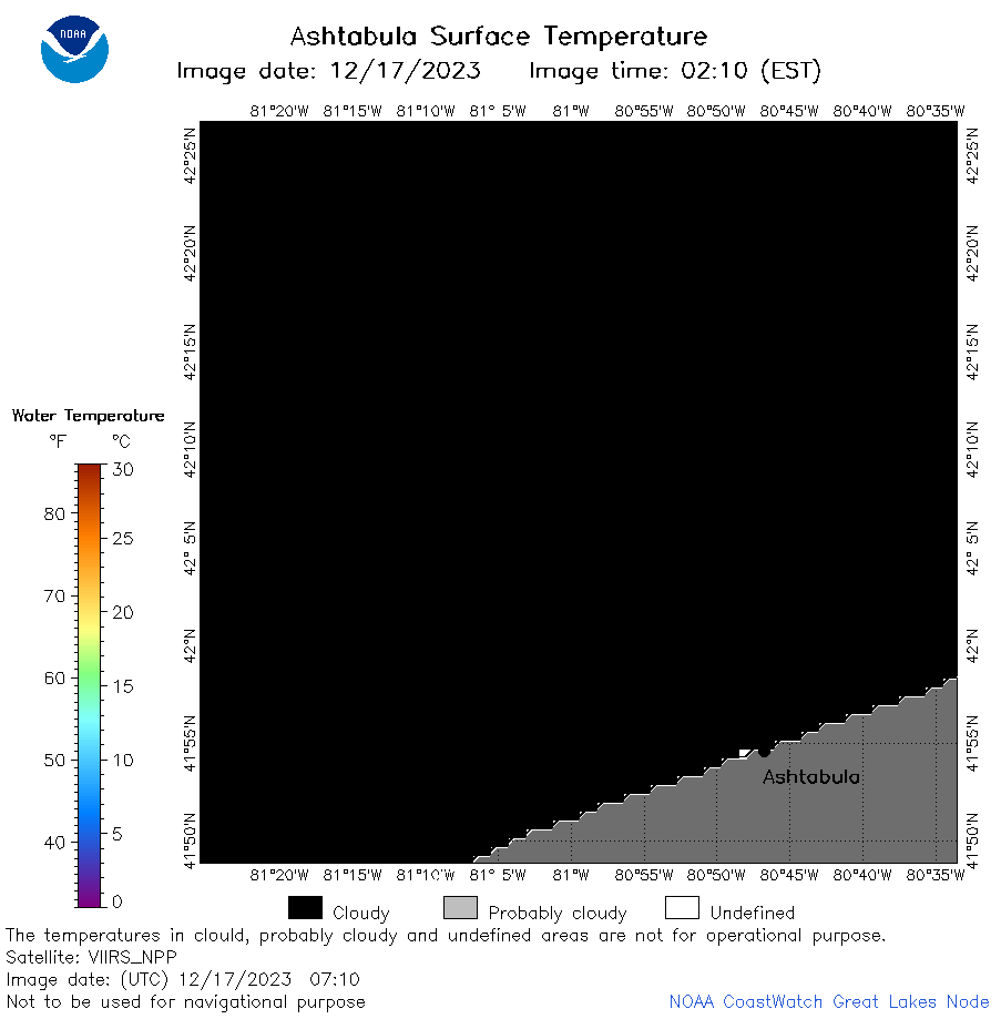
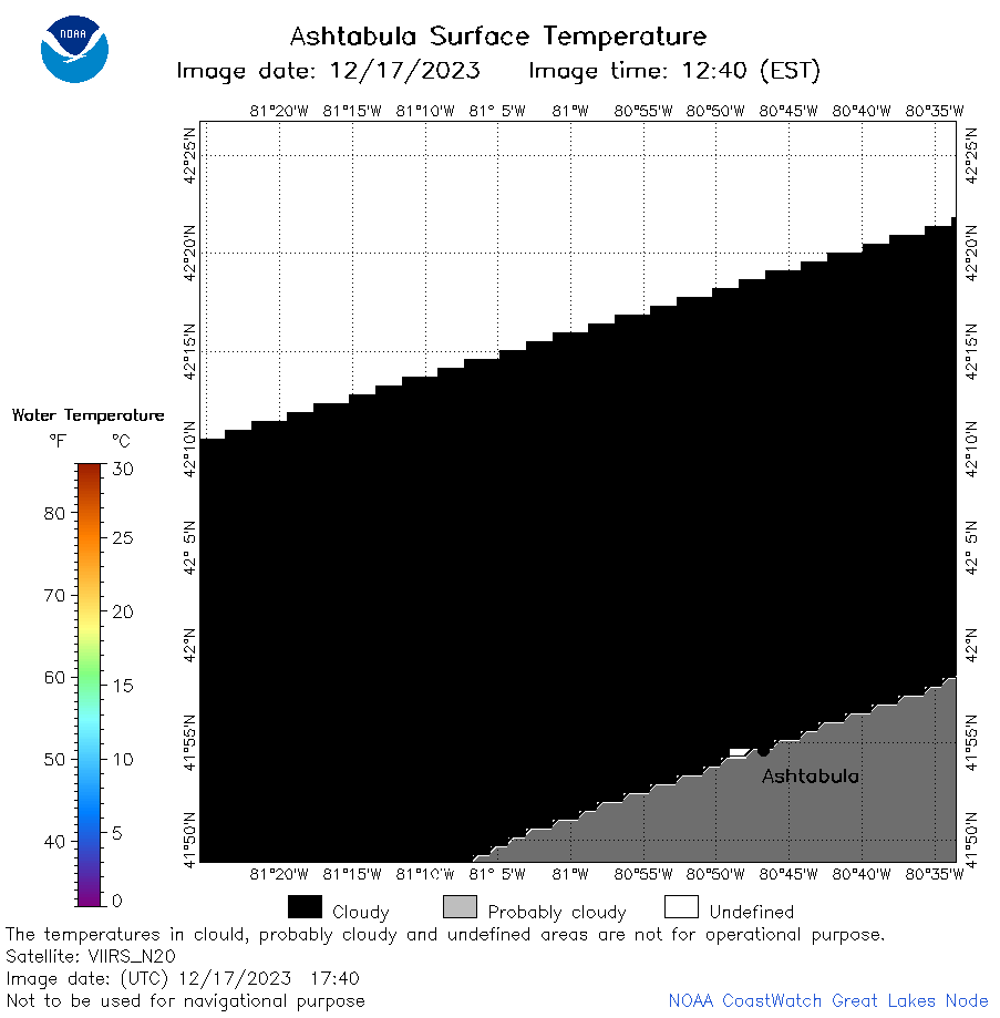
| Dataset Title: | Lake Erie Ashtabula Surface Temperature Contour Map (2022-present)


|
| Institution: | CoastWatch Great Lakes Node (Dataset ID: LE_NRT_TC_e22) |
| Information: | Summary
| License
| Metadata
| Background | Subset
| Data Access Form
| Make a graph
| Subset
| Data Access Form
| Make a graph
|
![[ICO]](https://apps.glerl.noaa.gov/erddap/images/fileIcons/blank.gif) | Name | Last modified | Size | Description |
|---|---|---|---|---|
![[DIR]](https://apps.glerl.noaa.gov/erddap/images/fileIcons/back.gif) | Parent Directory | - | - | |
![[IMG]](https://apps.glerl.noaa.gov/erddap/images/fileIcons/image2.gif)  | e22_2023_12_17_0130.png | 17-Dec-2023 06:40 | 17326 | |
 | e22_2023_12_17_0140.png | 17-Dec-2023 06:47 | 17281 | |
 | e22_2023_12_17_0220.png | 17-Dec-2023 06:54 | 25876 | |
 | e22_2023_12_17_0310.png | 17-Dec-2023 07:00 | 17306 | |
 | e22_2023_12_17_0320.png | 17-Dec-2023 07:07 | 17265 | |
 | e22_2023_12_17_0620.png | 17-Dec-2023 09:32 | 17230 | |
 | e22_2023_12_17_0710.png | 17-Dec-2023 11:34 | 17220 | |
 | e22_2023_12_17_0800.png | 17-Dec-2023 11:41 | 17238 | |
 | e22_2023_12_17_0850.png | 17-Dec-2023 12:32 | 17238 | |
 | e22_2023_12_17_0940.png | 17-Dec-2023 11:48 | 17241 | |
 | e22_2023_12_17_1440.png | 17-Dec-2023 18:32 | 17227 | |
 | e22_2023_12_17_1530.png | 17-Dec-2023 18:39 | 17261 | |
 | e22_2023_12_17_1620.png | 17-Dec-2023 18:46 | 17303 | |
 | e22_2023_12_17_1700.png | 17-Dec-2023 20:34 | 18012 | |
 | e22_2023_12_17_1710.png | 17-Dec-2023 20:41 | 17179 | |
 | e22_2023_12_17_1740.png | 17-Dec-2023 19:34 | 17756 | |
 | e22_2023_12_17_1750.png | 17-Dec-2023 19:41 | 17834 | |
 | e22_2023_12_17_1830.png | 17-Dec-2023 20:47 | 17308 | |
 | e22_2023_12_17_1840.png | 17-Dec-2023 23:32 | 17247 | |
 | e22_2023_12_17_1930.png | 17-Dec-2023 20:54 | 18162 | |