
Easier access to scientific data

Brought to you by NOAA CoastWatch Great Lakes Node
|
ERDDAP
Easier access to scientific data |
|
Brought to you by NOAA CoastWatch Great Lakes Node |
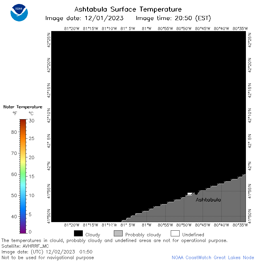
| Dataset Title: | Lake Erie Ashtabula Surface Temperature Contour Map (2022-present)


|
| Institution: | CoastWatch Great Lakes Node (Dataset ID: LE_NRT_TC_e22) |
| Information: | Summary
| License
| Metadata
| Background | Subset
| Data Access Form
| Make a graph
| Subset
| Data Access Form
| Make a graph
|
![[ICO]](https://apps.glerl.noaa.gov/erddap/images/fileIcons/blank.gif) | Name | Last modified | Size | Description |
|---|---|---|---|---|
![[DIR]](https://apps.glerl.noaa.gov/erddap/images/fileIcons/back.gif) | Parent Directory | - | - | |
![[IMG]](https://apps.glerl.noaa.gov/erddap/images/fileIcons/image2.gif)  | e22_2023_12_02_0140.png | 02-Dec-2023 09:42 | 17339 | |
 | e22_2023_12_02_0150.png | 02-Dec-2023 09:49 | 17295 | |
 | e22_2023_12_02_0230.png | 02-Dec-2023 09:56 | 17262 | |
 | e22_2023_12_02_0330.png | 02-Dec-2023 10:03 | 18619 | |
 | e22_2023_12_02_0600.png | 02-Dec-2023 10:10 | 19161 | |
 | e22_2023_12_02_0650.png | 02-Dec-2023 11:34 | 17266 | |
 | e22_2023_12_02_0740.png | 02-Dec-2023 11:41 | 17263 | |
 | e22_2023_12_02_0830.png | 02-Dec-2023 11:48 | 17562 | |
 | e22_2023_12_02_0920.png | 02-Dec-2023 11:55 | 17265 | |
 | e22_2023_12_02_1400.png | 02-Dec-2023 18:35 | 17302 | |
 | e22_2023_12_02_1450.png | 02-Dec-2023 18:42 | 17234 | |
 | e22_2023_12_02_1540.png | 02-Dec-2023 18:49 | 17304 | |
 | e22_2023_12_02_1630.png | 02-Dec-2023 18:56 | 17341 | |
 | e22_2023_12_02_1720.png | 02-Dec-2023 21:32 | 17204 | |
 | e22_2023_12_02_1730.png | 02-Dec-2023 19:03 | 17281 | |
 | e22_2023_12_02_1820.png | 02-Dec-2023 21:38 | 17279 | |
 | e22_2023_12_02_1910.png | 02-Dec-2023 21:45 | 17273 | |