
Easier access to scientific data

Brought to you by NOAA CoastWatch Great Lakes Node
|
ERDDAP
Easier access to scientific data |
|
Brought to you by NOAA CoastWatch Great Lakes Node |
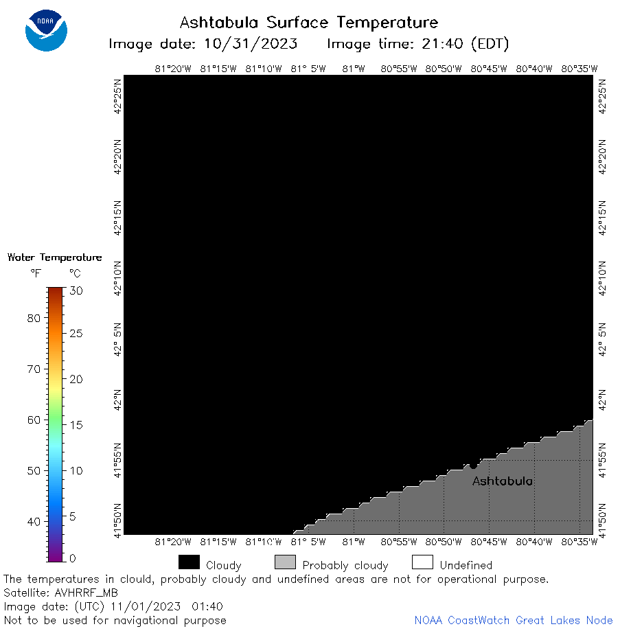
| Dataset Title: | Lake Erie Ashtabula Surface Temperature Contour Map (2022-present)


|
| Institution: | CoastWatch Great Lakes Node (Dataset ID: LE_NRT_TC_e22) |
| Information: | Summary
| License
| Metadata
| Background | Subset
| Data Access Form
| Make a graph
| Subset
| Data Access Form
| Make a graph
|
![[ICO]](https://apps.glerl.noaa.gov/erddap/images/fileIcons/blank.gif) | Name | Last modified | Size | Description |
|---|---|---|---|---|
![[DIR]](https://apps.glerl.noaa.gov/erddap/images/fileIcons/back.gif) | Parent Directory | - | - | |
![[IMG]](https://apps.glerl.noaa.gov/erddap/images/fileIcons/image2.gif)  | e22_2023_11_01_0130.png | 01-Nov-2023 05:37 | 17276 | |
 | e22_2023_11_01_0140.png | 01-Nov-2023 05:44 | 17231 | |
 | e22_2023_11_01_0230.png | 01-Nov-2023 05:51 | 17596 | |
 | e22_2023_11_01_0310.png | 01-Nov-2023 05:58 | 17504 | |
 | e22_2023_11_01_0320.png | 01-Nov-2023 06:05 | 17199 | |
 | e22_2023_11_01_0630.png | 01-Nov-2023 16:41 | 17919 | |
 | e22_2023_11_01_0720.png | 01-Nov-2023 16:48 | 20577 | |
 | e22_2023_11_01_0810.png | 01-Nov-2023 16:55 | 18471 | |
 | e22_2023_11_01_0820.png | 01-Nov-2023 17:02 | 17215 | |
 | e22_2023_11_01_0900.png | 01-Nov-2023 17:09 | 17224 | |
 | e22_2023_11_01_1440.png | 01-Nov-2023 18:32 | 20081 | |
 | e22_2023_11_01_1530.png | 01-Nov-2023 18:39 | 17784 | |
 | e22_2023_11_01_1620.png | 01-Nov-2023 19:32 | 17323 | |
 | e22_2023_11_01_1710.png | 01-Nov-2023 19:46 | 17273 | |
 | e22_2023_11_01_1850.png | 01-Nov-2023 20:36 | 18519 | |
 | e22_2023_305.png | 02-Nov-2023 10:12 | 32091 | |