
Easier access to scientific data

Brought to you by NOAA CoastWatch Great Lakes Node
|
ERDDAP
Easier access to scientific data |
|
Brought to you by NOAA CoastWatch Great Lakes Node |
| Dataset Title: | Lake Erie Ashtabula Surface Temperature Contour Map (2022-present)


|
| Institution: | CoastWatch Great Lakes Node (Dataset ID: LE_NRT_TC_e22) |
| Information: | Summary
| License
| Metadata
| Background | Subset
| Data Access Form
| Make a graph
| Subset
| Data Access Form
| Make a graph
|
![[ICO]](https://apps.glerl.noaa.gov/erddap/images/fileIcons/blank.gif) | Name | Last modified | Size | Description |
|---|---|---|---|---|
![[DIR]](https://apps.glerl.noaa.gov/erddap/images/fileIcons/back.gif) | Parent Directory | - | - | |
![[IMG]](https://apps.glerl.noaa.gov/erddap/images/fileIcons/image2.gif) 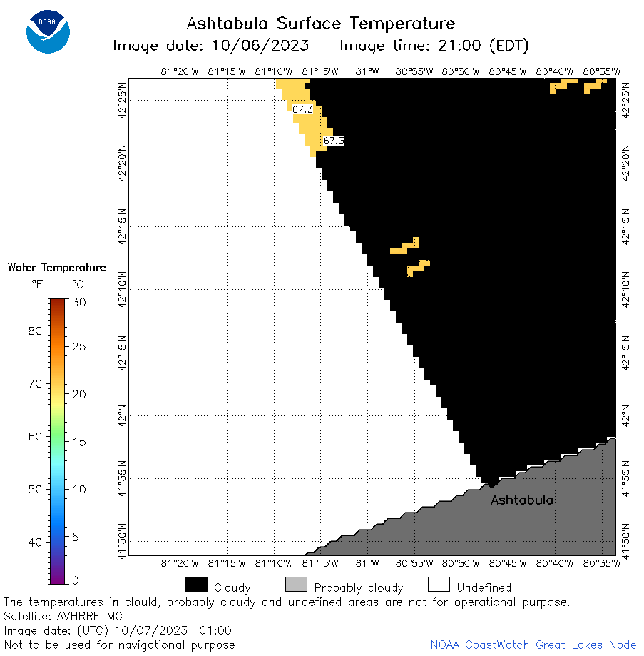 | e22_2023_10_07_0100.png | 07-Oct-2023 05:42 | 19848 | |
 | e22_2023_10_07_0110.png | 07-Oct-2023 05:49 | 17222 | |
 | e22_2023_10_07_0150.png | 07-Oct-2023 05:56 | 29085 | |
 | e22_2023_10_07_0240.png | 07-Oct-2023 06:04 | 18753 | |
 | e22_2023_10_07_0250.png | 07-Oct-2023 06:11 | 17232 | |
 | e22_2023_10_07_0330.png | 07-Oct-2023 06:18 | 17219 | |
 | e22_2023_10_07_1410.png | 07-Oct-2023 20:32 | 17713 | |
 | e22_2023_10_07_1500.png | 07-Oct-2023 19:32 | 18539 | |
 | e22_2023_10_07_1550.png | 07-Oct-2023 19:39 | 18101 | |
 | e22_2023_280.png | 08-Oct-2023 10:12 | 28097 | |