
Easier access to scientific data

Brought to you by NOAA CoastWatch Great Lakes Node
|
ERDDAP
Easier access to scientific data |
|
Brought to you by NOAA CoastWatch Great Lakes Node |
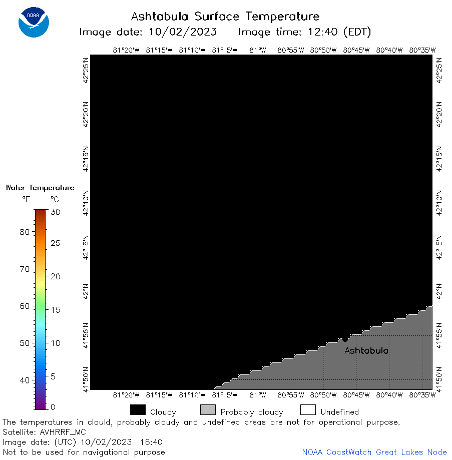
| Dataset Title: | Lake Erie Ashtabula Surface Temperature Contour Map (2022-present)


|
| Institution: | CoastWatch Great Lakes Node (Dataset ID: LE_NRT_TC_e22) |
| Information: | Summary
| License
| Metadata
| Background | Subset
| Data Access Form
| Make a graph
| Subset
| Data Access Form
| Make a graph
|
![[ICO]](https://apps.glerl.noaa.gov/erddap/images/fileIcons/blank.gif) | Name | Last modified | Size | Description |
|---|---|---|---|---|
![[DIR]](https://apps.glerl.noaa.gov/erddap/images/fileIcons/back.gif) | Parent Directory | - | - | |
![[IMG]](https://apps.glerl.noaa.gov/erddap/images/fileIcons/image2.gif)  | e22_2023_10_02_0110.png | 02-Oct-2023 05:40 | 34226 | |
 | e22_2023_10_02_0150.png | 02-Oct-2023 05:47 | 41939 | |
 | e22_2023_10_02_0200.png | 02-Oct-2023 05:55 | 17294 | |
 | e22_2023_10_02_0250.png | 02-Oct-2023 06:02 | 35763 | |
 | e22_2023_10_02_0330.png | 02-Oct-2023 06:09 | 17215 | |
 | e22_2023_10_02_0340.png | 02-Oct-2023 06:16 | 17231 | |
 | e22_2023_10_02_0600.png | 02-Oct-2023 11:31 | 17305 | |
 | e22_2023_10_02_0640.png | 02-Oct-2023 09:32 | 17240 | |
 | e22_2023_10_02_0650.png | 02-Oct-2023 09:39 | 29828 | |
 | e22_2023_10_02_0730.png | 02-Oct-2023 10:31 | 17222 | |
 | e22_2023_10_02_0820.png | 02-Oct-2023 11:38 | 17246 | |
 | e22_2023_10_02_1410.png | 02-Oct-2023 17:35 | 26428 | |
 | e22_2023_10_02_1500.png | 02-Oct-2023 20:12 | 35134 | |
 | e22_2023_10_02_1550.png | 02-Oct-2023 21:02 | 36643 | |
 | e22_2023_10_02_1640.png | 02-Oct-2023 21:25 | 17227 | |
 | e22_2023_10_02_1730.png | 02-Oct-2023 21:47 | 17213 | |
 | e22_2023_275.png | 03-Oct-2023 10:30 | 25842 | |