
Easier access to scientific data

Brought to you by NOAA CoastWatch Great Lakes Node
|
ERDDAP
Easier access to scientific data |
|
Brought to you by NOAA CoastWatch Great Lakes Node |
| Dataset Title: | Lake Erie Ashtabula Surface Temperature Contour Map (2022-present)


|
| Institution: | CoastWatch Great Lakes Node (Dataset ID: LE_NRT_TC_e22) |
| Information: | Summary
| License
| Metadata
| Background | Subset
| Data Access Form
| Make a graph
| Subset
| Data Access Form
| Make a graph
|
![[ICO]](https://apps.glerl.noaa.gov/erddap/images/fileIcons/blank.gif) | Name | Last modified | Size | Description |
|---|---|---|---|---|
![[DIR]](https://apps.glerl.noaa.gov/erddap/images/fileIcons/back.gif) | Parent Directory | - | - | |
![[IMG]](https://apps.glerl.noaa.gov/erddap/images/fileIcons/image2.gif)  | e22_2023_09_26_0130.png | 26-Sep-2023 05:37 | 17293 | |
 | e22_2023_09_26_0220.png | 26-Sep-2023 05:44 | 17263 | |
 | e22_2023_09_26_0310.png | 26-Sep-2023 05:52 | 17244 | |
 | e22_2023_09_26_0610.png | 26-Sep-2023 09:32 | 17283 | |
 | e22_2023_09_26_0700.png | 26-Sep-2023 09:40 | 17308 | |
 | e22_2023_09_26_0750.png | 26-Sep-2023 17:36 | 17316 | |
 | e22_2023_09_26_0840.png | 26-Sep-2023 17:43 | 17346 | |
 | e22_2023_09_26_0930.png | 26-Sep-2023 17:51 | 17280 | |
 | e22_2023_09_26_1430.png | 26-Sep-2023 19:34 | 17332 | |
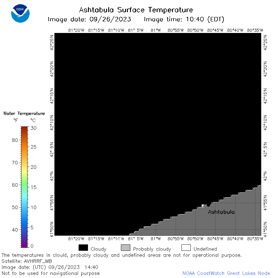 | e22_2023_09_26_1440.png | 26-Sep-2023 19:41 | 17298 | |
 | e22_2023_09_26_1530.png | 26-Sep-2023 21:45 | 17845 | |
 | e22_2023_09_26_1610.png | 26-Sep-2023 21:52 | 17313 | |
 | e22_2023_09_26_1620.png | 26-Sep-2023 21:59 | 17781 | |
 | e22_2023_09_26_1710.png | 26-Sep-2023 22:06 | 17234 | |
 | e22_2023_09_26_1730.png | 26-Sep-2023 22:13 | 28091 | |
 | e22_2023_09_26_1740.png | 26-Sep-2023 22:20 | 17263 | |
 | e22_2023_09_26_1820.png | 26-Sep-2023 22:28 | 21049 | |
 | e22_2023_09_26_1830.png | 26-Sep-2023 22:36 | 17290 | |
 | e22_2023_09_26_1910.png | 26-Sep-2023 22:44 | 18548 | |
 | e22_2023_269.png | 27-Sep-2023 10:14 | 30123 | |