
Easier access to scientific data

Brought to you by NOAA CoastWatch Great Lakes Node
|
ERDDAP
Easier access to scientific data |
|
Brought to you by NOAA CoastWatch Great Lakes Node |
| Dataset Title: | Lake Erie Ashtabula Surface Temperature Contour Map (2022-present)


|
| Institution: | CoastWatch Great Lakes Node (Dataset ID: LE_NRT_TC_e22) |
| Information: | Summary
| License
| Metadata
| Background | Subset
| Data Access Form
| Make a graph
| Subset
| Data Access Form
| Make a graph
|
![[ICO]](https://apps.glerl.noaa.gov/erddap/images/fileIcons/blank.gif) | Name | Last modified | Size | Description |
|---|---|---|---|---|
![[DIR]](https://apps.glerl.noaa.gov/erddap/images/fileIcons/back.gif) | Parent Directory | - | - | |
![[IMG]](https://apps.glerl.noaa.gov/erddap/images/fileIcons/image2.gif)  | e22_2023_06_15_0110.png | 15-Jun-2023 05:38 | 38746 | |
 | e22_2023_06_15_0200.png | 15-Jun-2023 05:45 | 40387 | |
 | e22_2023_06_15_0250.png | 15-Jun-2023 05:57 | 41443 | |
 | e22_2023_06_15_0640.png | 15-Jun-2023 10:35 | 41490 | |
 | e22_2023_06_15_0730.png | 15-Jun-2023 10:42 | 36941 | |
 | e22_2023_06_15_0820.png | 15-Jun-2023 12:35 | 39658 | |
 | e22_2023_06_15_1420.png | 15-Jun-2023 18:33 | 23701 | |
 | e22_2023_06_15_1510.png | 15-Jun-2023 18:40 | 31133 | |
 | e22_2023_06_15_1600.png | 15-Jun-2023 20:39 | 22860 | |
 | e22_2023_06_15_1710.png | 15-Jun-2023 20:51 | 23211 | |
 | e22_2023_06_15_1800.png | 15-Jun-2023 21:07 | 35175 | |
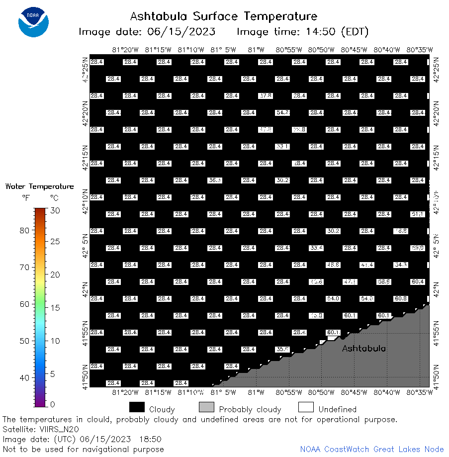 | e22_2023_06_15_1850.png | 15-Jun-2023 21:12 | 21004 | |
 | e22_2023_166.png | 16-Jun-2023 10:13 | 27087 | |