
Easier access to scientific data

Brought to you by NOAA CoastWatch Great Lakes Node
|
ERDDAP
Easier access to scientific data |
|
Brought to you by NOAA CoastWatch Great Lakes Node |
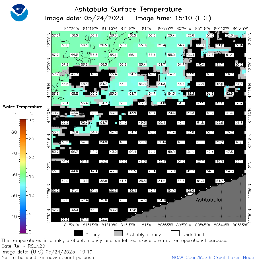
| Dataset Title: | Lake Erie Ashtabula Surface Temperature Contour Map (2022-present)


|
| Institution: | CoastWatch Great Lakes Node (Dataset ID: LE_NRT_TC_e22) |
| Information: | Summary
| License
| Metadata
| Background | Subset
| Data Access Form
| Make a graph
| Subset
| Data Access Form
| Make a graph
|
![[ICO]](https://apps.glerl.noaa.gov/erddap/images/fileIcons/blank.gif) | Name | Last modified | Size | Description |
|---|---|---|---|---|
![[DIR]](https://apps.glerl.noaa.gov/erddap/images/fileIcons/back.gif) | Parent Directory | - | - | |
![[IMG]](https://apps.glerl.noaa.gov/erddap/images/fileIcons/image2.gif)  | e22_2023_05_24_0120.png | 24-May-2023 05:36 | 26571 | |
 | e22_2023_05_24_0210.png | 24-May-2023 05:44 | 29415 | |
 | e22_2023_05_24_0300.png | 24-May-2023 05:51 | 27288 | |
 | e22_2023_05_24_0600.png | 24-May-2023 08:30 | 25452 | |
 | e22_2023_05_24_0650.png | 24-May-2023 10:35 | 33373 | |
 | e22_2023_05_24_0740.png | 24-May-2023 10:42 | 33754 | |
 | e22_2023_05_24_0830.png | 24-May-2023 12:36 | 35716 | |
 | e22_2023_05_24_1420.png | 24-May-2023 17:31 | 22463 | |
 | e22_2023_05_24_1520.png | 24-May-2023 19:42 | 34411 | |
 | e22_2023_05_24_1600.png | 24-May-2023 19:49 | 24322 | |
 | e22_2023_05_24_1730.png | 24-May-2023 21:47 | 25469 | |
 | e22_2023_05_24_1820.png | 24-May-2023 21:59 | 35587 | |
 | e22_2023_05_24_1910.png | 24-May-2023 22:07 | 32826 | |
 | e22_2023_144.png | 25-May-2023 10:12 | 28344 | |