
Easier access to scientific data

Brought to you by NOAA CoastWatch Great Lakes Node
|
ERDDAP
Easier access to scientific data |
|
Brought to you by NOAA CoastWatch Great Lakes Node |
| Dataset Title: | Lake Erie Ashtabula Surface Temperature Contour Map (2022-present)


|
| Institution: | CoastWatch Great Lakes Node (Dataset ID: LE_NRT_TC_e22) |
| Information: | Summary
| License
| Metadata
| Background | Subset
| Data Access Form
| Make a graph
| Subset
| Data Access Form
| Make a graph
|
![[ICO]](https://apps.glerl.noaa.gov/erddap/images/fileIcons/blank.gif) | Name | Last modified | Size | Description |
|---|---|---|---|---|
![[DIR]](https://apps.glerl.noaa.gov/erddap/images/fileIcons/back.gif) | Parent Directory | - | - | |
![[IMG]](https://apps.glerl.noaa.gov/erddap/images/fileIcons/image2.gif)  | e22_2023_04_22_0130.png | 22-Apr-2023 05:35 | 19778 | |
 | e22_2023_04_22_0220.png | 22-Apr-2023 05:41 | 19959 | |
 | e22_2023_04_22_0310.png | 22-Apr-2023 05:48 | 19765 | |
 | e22_2023_04_22_0600.png | 22-Apr-2023 09:30 | 21050 | |
 | e22_2023_04_22_0650.png | 22-Apr-2023 11:34 | 19769 | |
 | e22_2023_04_22_0740.png | 22-Apr-2023 11:45 | 19807 | |
 | e22_2023_04_22_0830.png | 22-Apr-2023 12:32 | 19832 | |
 | e22_2023_04_22_1440.png | 22-Apr-2023 18:36 | 19786 | |
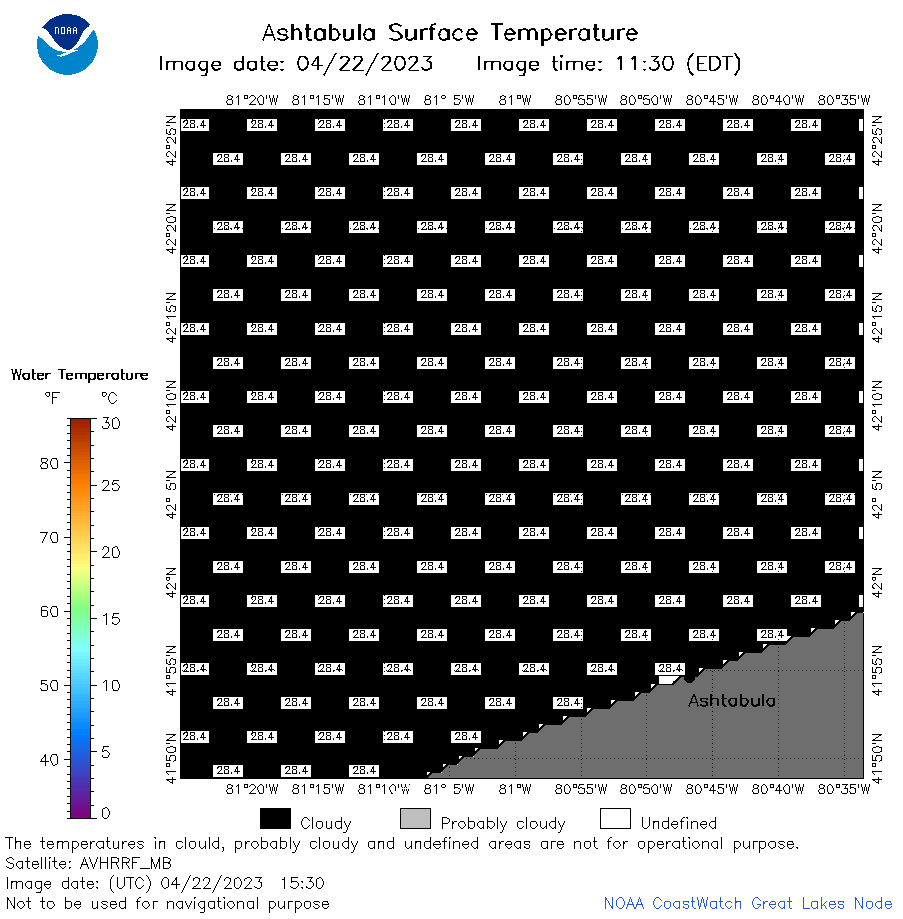 | e22_2023_04_22_1530.png | 22-Apr-2023 18:48 | 19776 | |
 | e22_2023_112.png | 23-Apr-2023 10:10 | 32756 | |