
Easier access to scientific data

Brought to you by NOAA CoastWatch Great Lakes Node
|
ERDDAP
Easier access to scientific data |
|
Brought to you by NOAA CoastWatch Great Lakes Node |
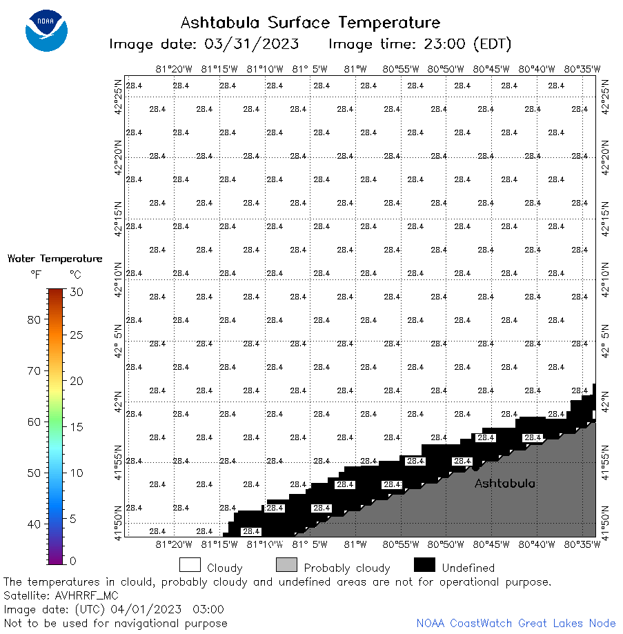
| Dataset Title: | Lake Erie Ashtabula Surface Temperature Contour Map (2022-present)


|
| Institution: | CoastWatch Great Lakes Node (Dataset ID: LE_NRT_TC_e22) |
| Information: | Summary
| License
| Metadata
| Background | Subset
| Data Access Form
| Make a graph
| Subset
| Data Access Form
| Make a graph
|
![[ICO]](https://apps.glerl.noaa.gov/erddap/images/fileIcons/blank.gif) | Name | Last modified | Size | Description |
|---|---|---|---|---|
![[DIR]](https://apps.glerl.noaa.gov/erddap/images/fileIcons/back.gif) | Parent Directory | - | - | |
![[IMG]](https://apps.glerl.noaa.gov/erddap/images/fileIcons/image2.gif)  | e22_2023_04_01_0120.png | 01-Apr-2023 05:44 | 20234 | |
 | e22_2023_04_01_0200.png | 01-Apr-2023 05:50 | 20192 | |
 | e22_2023_04_01_0300.png | 01-Apr-2023 06:02 | 20156 | |
 | e22_2023_04_01_0650.png | 01-Apr-2023 09:36 | 30356 | |
 | e22_2023_04_01_0740.png | 01-Apr-2023 09:48 | 22810 | |
 | e22_2023_04_01_0830.png | 01-Apr-2023 12:34 | 23321 | |
 | e22_2023_04_01_1420.png | 01-Apr-2023 17:31 | 29045 | |
 | e22_2023_04_01_1510.png | 01-Apr-2023 19:35 | 32381 | |
 | e22_2023_04_01_1600.png | 01-Apr-2023 19:42 | 20276 | |
 | e22_2023_04_01_1720.png | 01-Apr-2023 19:54 | 20126 | |
 | e22_2023_04_01_1810.png | 01-Apr-2023 20:36 | 42918 | |
 | e22_2023_04_01_1900.png | 01-Apr-2023 21:32 | 21075 | |