
Easier access to scientific data

Brought to you by NOAA CoastWatch Great Lakes Node
|
ERDDAP
Easier access to scientific data |
|
Brought to you by NOAA CoastWatch Great Lakes Node |
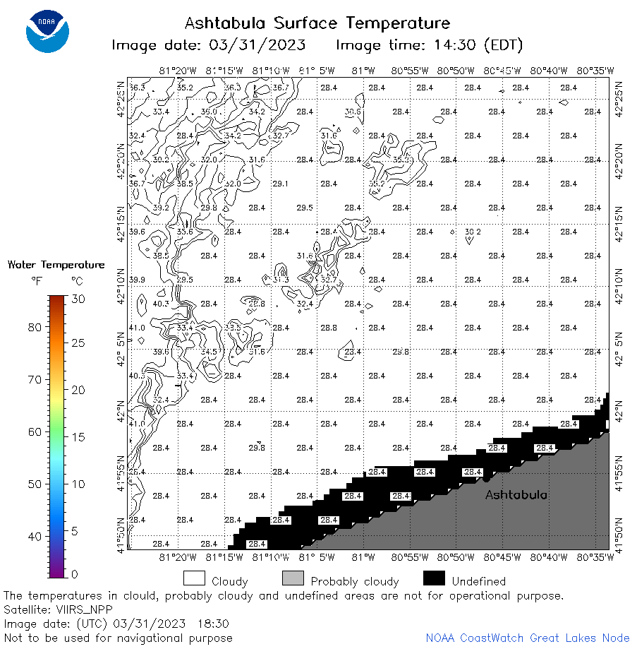
| Dataset Title: | Lake Erie Ashtabula Surface Temperature Contour Map (2022-present)


|
| Institution: | CoastWatch Great Lakes Node (Dataset ID: LE_NRT_TC_e22) |
| Information: | Summary
| License
| Metadata
| Background | Subset
| Data Access Form
| Make a graph
| Subset
| Data Access Form
| Make a graph
|
![[ICO]](https://apps.glerl.noaa.gov/erddap/images/fileIcons/blank.gif) | Name | Last modified | Size | Description |
|---|---|---|---|---|
![[DIR]](https://apps.glerl.noaa.gov/erddap/images/fileIcons/back.gif) | Parent Directory | - | - | |
![[IMG]](https://apps.glerl.noaa.gov/erddap/images/fileIcons/image2.gif)  | e22_2023_03_31_0140.png | 31-Mar-2023 05:37 | 20369 | |
 | e22_2023_03_31_0220.png | 31-Mar-2023 05:43 | 28921 | |
 | e22_2023_03_31_0320.png | 31-Mar-2023 05:55 | 20693 | |
 | e22_2023_03_31_0610.png | 31-Mar-2023 09:30 | 17932 | |
 | e22_2023_03_31_0620.png | 31-Mar-2023 09:36 | 20957 | |
 | e22_2023_03_31_0710.png | 31-Mar-2023 10:38 | 20271 | |
 | e22_2023_03_31_0800.png | 31-Mar-2023 09:42 | 20295 | |
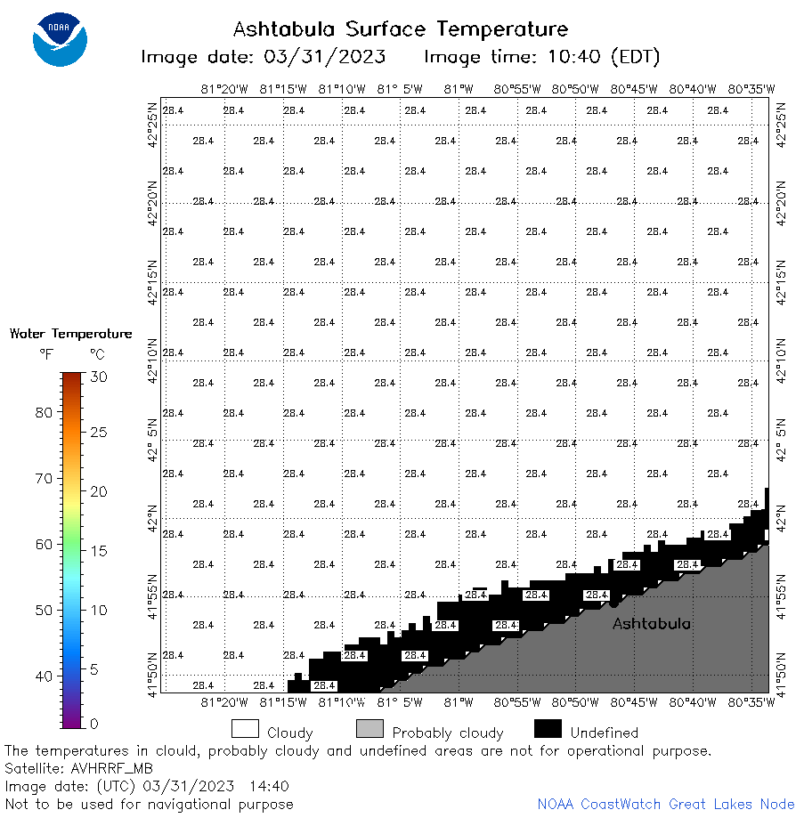 | e22_2023_03_31_1440.png | 31-Mar-2023 17:32 | 20400 | |
 | e22_2023_03_31_1530.png | 31-Mar-2023 19:35 | 20272 | |
 | e22_2023_03_31_1620.png | 31-Mar-2023 19:42 | 20393 | |
 | e22_2023_03_31_1740.png | 31-Mar-2023 19:49 | 20285 | |
 | e22_2023_03_31_1830.png | 31-Mar-2023 21:32 | 31263 | |
 | e22_2023_03_31_1920.png | 31-Mar-2023 21:39 | 28376 | |
 | e22_2023_090.png | 01-Apr-2023 10:12 | 25513 | |