
Easier access to scientific data

Brought to you by NOAA CoastWatch Great Lakes Node
|
ERDDAP
Easier access to scientific data |
|
Brought to you by NOAA CoastWatch Great Lakes Node |
| Dataset Title: | Lake Erie Ashtabula Surface Temperature Contour Map (2022-present)


|
| Institution: | CoastWatch Great Lakes Node (Dataset ID: LE_NRT_TC_e22) |
| Information: | Summary
| License
| Metadata
| Background | Subset
| Data Access Form
| Make a graph
| Subset
| Data Access Form
| Make a graph
|
![[ICO]](https://apps.glerl.noaa.gov/erddap/images/fileIcons/blank.gif) | Name | Last modified | Size | Description |
|---|---|---|---|---|
![[DIR]](https://apps.glerl.noaa.gov/erddap/images/fileIcons/back.gif) | Parent Directory | - | - | |
![[IMG]](https://apps.glerl.noaa.gov/erddap/images/fileIcons/image2.gif) 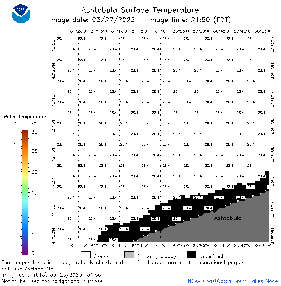 | e22_2023_03_23_0150.png | 23-Mar-2023 05:41 | 20293 | |
 | e22_2023_03_23_0240.png | 23-Mar-2023 05:48 | 20280 | |
 | e22_2023_03_23_0620.png | 23-Mar-2023 10:41 | 21373 | |
 | e22_2023_03_23_0710.png | 23-Mar-2023 10:52 | 37710 | |
 | e22_2023_03_23_0800.png | 23-Mar-2023 10:59 | 28442 | |
 | e22_2023_03_23_1500.png | 23-Mar-2023 18:34 | 26297 | |
 | e22_2023_03_23_1550.png | 23-Mar-2023 17:47 | 20425 | |
 | e22_2023_03_23_1740.png | 23-Mar-2023 19:43 | 20226 | |
 | e22_2023_03_23_1830.png | 23-Mar-2023 20:36 | 21262 | |
 | e22_2023_03_23_1920.png | 23-Mar-2023 21:32 | 20213 | |
 | e22_2023_082.png | 24-Mar-2023 10:12 | 26792 | |