
Easier access to scientific data

Brought to you by NOAA CoastWatch Great Lakes Node
|
ERDDAP
Easier access to scientific data |
|
Brought to you by NOAA CoastWatch Great Lakes Node |
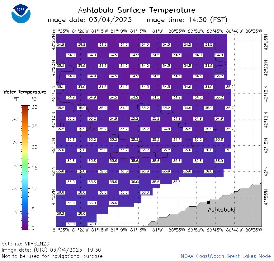
| Dataset Title: | Lake Erie Ashtabula Surface Temperature Contour Map (2022-present)


|
| Institution: | CoastWatch Great Lakes Node (Dataset ID: LE_NRT_TC_e22) |
| Information: | Summary
| License
| Metadata
| Background | Subset
| Data Access Form
| Make a graph
| Subset
| Data Access Form
| Make a graph
|
![[ICO]](https://apps.glerl.noaa.gov/erddap/images/fileIcons/blank.gif) | Name | Last modified | Size | Description |
|---|---|---|---|---|
![[DIR]](https://apps.glerl.noaa.gov/erddap/images/fileIcons/back.gif) | Parent Directory | - | - | |
![[IMG]](https://apps.glerl.noaa.gov/erddap/images/fileIcons/image2.gif)  | e22_2023_03_04_1540.png | 04-Mar-2023 18:27 | 15643 | |
 | e22_2023_03_04_1700.png | 04-Mar-2023 20:27 | 15001 | |
 | e22_2023_03_04_1740.png | 04-Mar-2023 20:31 | 18772 | |
 | e22_2023_03_04_1840.png | 04-Mar-2023 20:37 | 21393 | |
 | e22_2023_03_04_1930.png | 04-Mar-2023 21:31 | 26111 | |
 | e22_2023_063.png | 05-Mar-2023 11:16 | 25652 | |