
Easier access to scientific data

Brought to you by NOAA CoastWatch Great Lakes Node
|
ERDDAP
Easier access to scientific data |
|
Brought to you by NOAA CoastWatch Great Lakes Node |
| Dataset Title: | Lake Erie Sandusky Surface Temperature Contour Map (2022-present)


|
| Institution: | CoastWatch Great Lakes Node (Dataset ID: LE_NRT_TC_e12) |
| Information: | Summary
| License
| Metadata
| Background | Subset
| Data Access Form
| Make a graph
| Subset
| Data Access Form
| Make a graph
|
![[ICO]](https://apps.glerl.noaa.gov/erddap/images/fileIcons/blank.gif) | Name | Last modified | Size | Description |
|---|---|---|---|---|
![[DIR]](https://apps.glerl.noaa.gov/erddap/images/fileIcons/back.gif) | Parent Directory | - | - | |
![[IMG]](https://apps.glerl.noaa.gov/erddap/images/fileIcons/image2.gif)  | e12_2024_09_23_0120.png | 23-Sep-2024 12:34 | 18773 | |
 | e12_2024_09_23_0210.png | 23-Sep-2024 12:36 | 18843 | |
 | e12_2024_09_23_0300.png | 23-Sep-2024 13:33 | 18738 | |
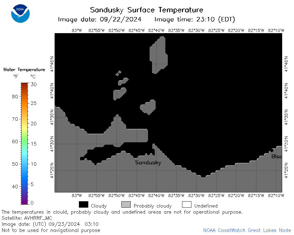 | e12_2024_09_23_0310.png | 23-Sep-2024 13:36 | 18191 | |
 | e12_2024_09_23_0350.png | 23-Sep-2024 16:32 | 18207 | |
 | e12_2024_09_23_1420.png | 24-Sep-2024 02:32 | 18194 | |
 | e12_2024_09_23_1430.png | 24-Sep-2024 03:33 | 18765 | |
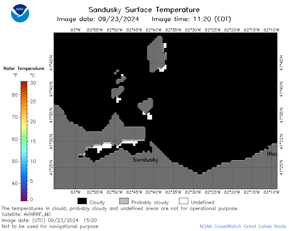 | e12_2024_09_23_1520.png | 24-Sep-2024 03:36 | 18768 | |
 | e12_2024_267.png | 24-Sep-2024 09:30 | 24277 | |