
Easier access to scientific data

Brought to you by NOAA CoastWatch Great Lakes Node
|
ERDDAP
Easier access to scientific data |
|
Brought to you by NOAA CoastWatch Great Lakes Node |
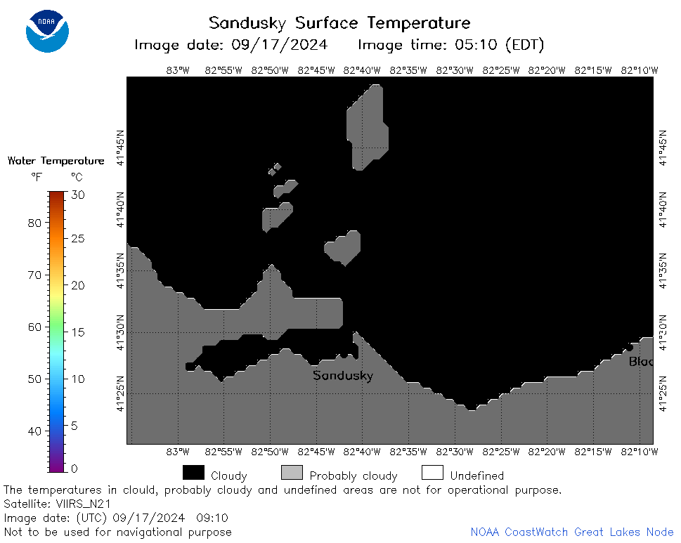
| Dataset Title: | Lake Erie Sandusky Surface Temperature Contour Map (2022-present)


|
| Institution: | CoastWatch Great Lakes Node (Dataset ID: LE_NRT_TC_e12) |
| Information: | Summary
| License
| Metadata
| Background | Subset
| Data Access Form
| Make a graph
| Subset
| Data Access Form
| Make a graph
|
![[ICO]](https://apps.glerl.noaa.gov/erddap/images/fileIcons/blank.gif) | Name | Last modified | Size | Description |
|---|---|---|---|---|
![[DIR]](https://apps.glerl.noaa.gov/erddap/images/fileIcons/back.gif) | Parent Directory | - | - | |
![[IMG]](https://apps.glerl.noaa.gov/erddap/images/fileIcons/image2.gif) 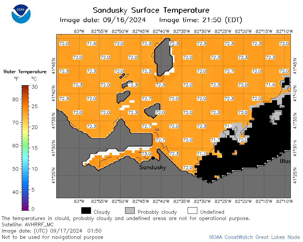 | e12_2024_09_17_0150.png | 17-Sep-2024 13:34 | 30226 | |
 | e12_2024_09_17_0230.png | 17-Sep-2024 12:33 | 32441 | |
 | e12_2024_09_17_0240.png | 17-Sep-2024 13:36 | 18216 | |
 | e12_2024_09_17_0330.png | 17-Sep-2024 16:33 | 28636 | |
 | e12_2024_09_17_0550.png | 18-Sep-2024 00:35 | 18203 | |
 | e12_2024_09_17_0640.png | 18-Sep-2024 00:38 | 24299 | |
 | e12_2024_09_17_0910.png | 18-Sep-2024 00:40 | 18200 | |
 | e12_2024_09_17_0930.png | 18-Sep-2024 00:42 | 18186 | |
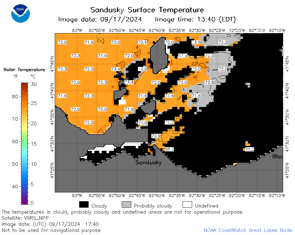 | e12_2024_09_17_1740.png | 18-Sep-2024 03:34 | 32260 | |
 | e12_2024_09_17_1800.png | 18-Sep-2024 03:36 | 34681 | |
 | e12_2024_261.png | 18-Sep-2024 09:46 | 26032 | |