
Easier access to scientific data

Brought to you by NOAA CoastWatch Great Lakes Node
|
ERDDAP
Easier access to scientific data |
|
Brought to you by NOAA CoastWatch Great Lakes Node |
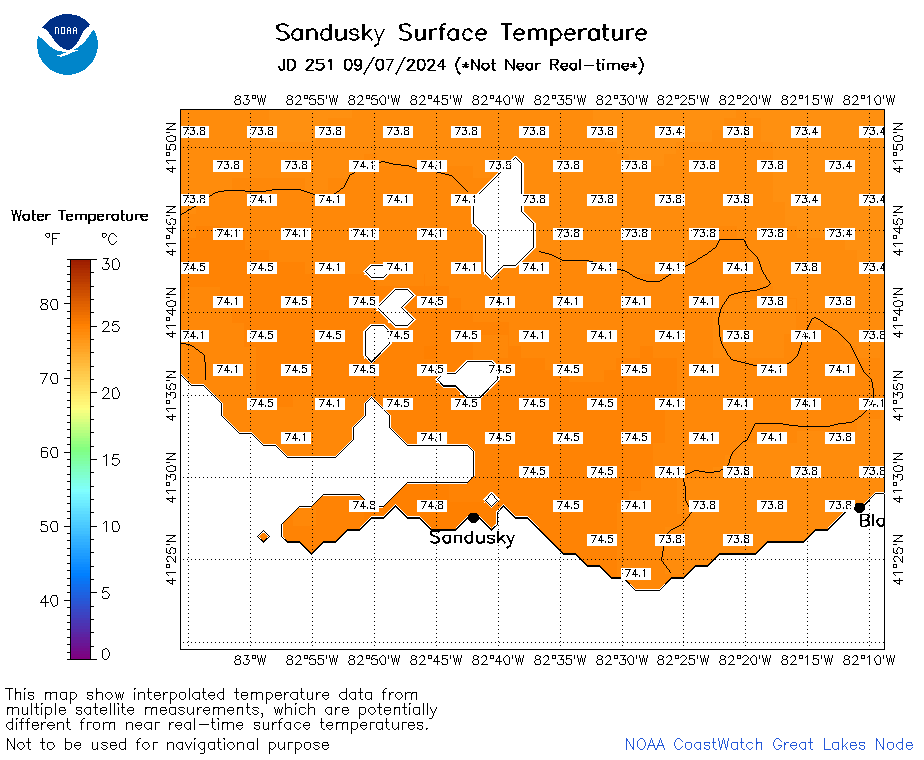
| Dataset Title: | Lake Erie Sandusky Surface Temperature Contour Map (2022-present)


|
| Institution: | CoastWatch Great Lakes Node (Dataset ID: LE_NRT_TC_e12) |
| Information: | Summary
| License
| Metadata
| Background | Subset
| Data Access Form
| Make a graph
| Subset
| Data Access Form
| Make a graph
|
![[ICO]](https://apps.glerl.noaa.gov/erddap/images/fileIcons/blank.gif) | Name | Last modified | Size | Description |
|---|---|---|---|---|
![[DIR]](https://apps.glerl.noaa.gov/erddap/images/fileIcons/back.gif) | Parent Directory | - | - | |
![[IMG]](https://apps.glerl.noaa.gov/erddap/images/fileIcons/image2.gif)  | e12_2024_09_07_0100.png | 07-Sep-2024 11:33 | 20274 | |
 | e12_2024_09_07_0150.png | 07-Sep-2024 12:33 | 18802 | |
 | e12_2024_09_07_0200.png | 07-Sep-2024 12:36 | 18208 | |
 | e12_2024_09_07_0240.png | 07-Sep-2024 13:32 | 18727 | |
 | e12_2024_09_07_0330.png | 07-Sep-2024 16:36 | 19988 | |
 | e12_2024_09_07_0340.png | 07-Sep-2024 16:38 | 18214 | |
 | e12_2024_09_07_0540.png | 07-Sep-2024 16:41 | 18213 | |
 | e12_2024_09_07_0600.png | 07-Sep-2024 16:43 | 18203 | |
 | e12_2024_09_07_0720.png | 07-Sep-2024 16:45 | 21542 | |
 | e12_2024_09_07_0900.png | 07-Sep-2024 21:32 | 18903 | |
 | e12_2024_09_07_1410.png | 08-Sep-2024 00:34 | 18187 | |
 | e12_2024_09_07_1450.png | 08-Sep-2024 00:37 | 18191 | |
 | e12_2024_09_07_1500.png | 08-Sep-2024 00:39 | 19782 | |
 | e12_2024_09_07_1550.png | 08-Sep-2024 01:32 | 19422 | |
 | e12_2024_09_07_1640.png | 08-Sep-2024 02:32 | 18892 | |
 | e12_2024_09_07_1730.png | 08-Sep-2024 03:32 | 18182 | |
 | e12_2024_251.png | 08-Sep-2024 09:30 | 25036 | |