
Easier access to scientific data

Brought to you by NOAA CoastWatch Great Lakes Node
|
ERDDAP
Easier access to scientific data |
|
Brought to you by NOAA CoastWatch Great Lakes Node |
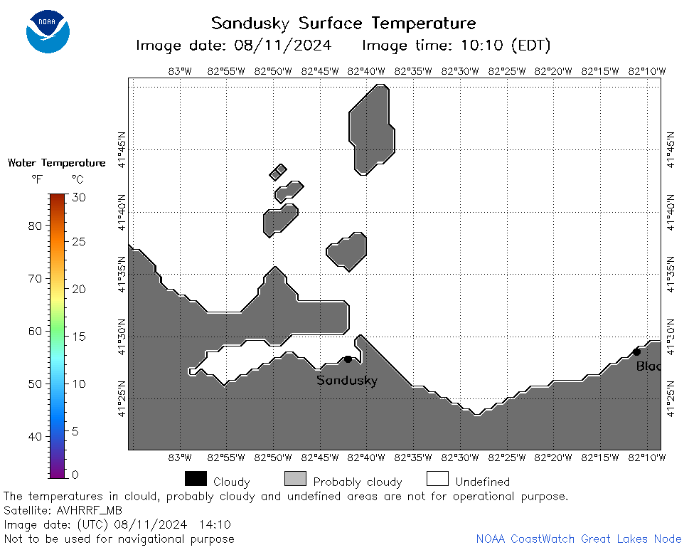
| Dataset Title: | Lake Erie Sandusky Surface Temperature Contour Map (2022-present)


|
| Institution: | CoastWatch Great Lakes Node (Dataset ID: LE_NRT_TC_e12) |
| Information: | Summary
| License
| Metadata
| Background | Subset
| Data Access Form
| Make a graph
| Subset
| Data Access Form
| Make a graph
|
![[ICO]](https://apps.glerl.noaa.gov/erddap/images/fileIcons/blank.gif) | Name | Last modified | Size | Description |
|---|---|---|---|---|
![[DIR]](https://apps.glerl.noaa.gov/erddap/images/fileIcons/back.gif) | Parent Directory | - | - | |
![[IMG]](https://apps.glerl.noaa.gov/erddap/images/fileIcons/image2.gif)  | e12_2024_08_11_0110.png | 11-Aug-2024 12:33 | 20275 | |
 | e12_2024_08_11_0200.png | 11-Aug-2024 16:34 | 19208 | |
 | e12_2024_08_11_0250.png | 11-Aug-2024 16:37 | 21756 | |
 | e12_2024_08_11_0340.png | 11-Aug-2024 16:39 | 18899 | |
 | e12_2024_08_11_1410.png | 12-Aug-2024 00:33 | 18872 | |
 | e12_2024_08_11_1420.png | 12-Aug-2024 00:36 | 27608 | |
 | e12_2024_224.png | 12-Aug-2024 09:30 | 26521 | |