
Easier access to scientific data

Brought to you by NOAA CoastWatch Great Lakes Node
|
ERDDAP
Easier access to scientific data |
|
Brought to you by NOAA CoastWatch Great Lakes Node |
| Dataset Title: | Lake Erie Sandusky Surface Temperature Contour Map (2022-present)


|
| Institution: | CoastWatch Great Lakes Node (Dataset ID: LE_NRT_TC_e12) |
| Information: | Summary
| License
| Metadata
| Background | Subset
| Data Access Form
| Make a graph
| Subset
| Data Access Form
| Make a graph
|
![[ICO]](https://apps.glerl.noaa.gov/erddap/images/fileIcons/blank.gif) | Name | Last modified | Size | Description |
|---|---|---|---|---|
![[DIR]](https://apps.glerl.noaa.gov/erddap/images/fileIcons/back.gif) | Parent Directory | - | - | |
![[IMG]](https://apps.glerl.noaa.gov/erddap/images/fileIcons/image2.gif) 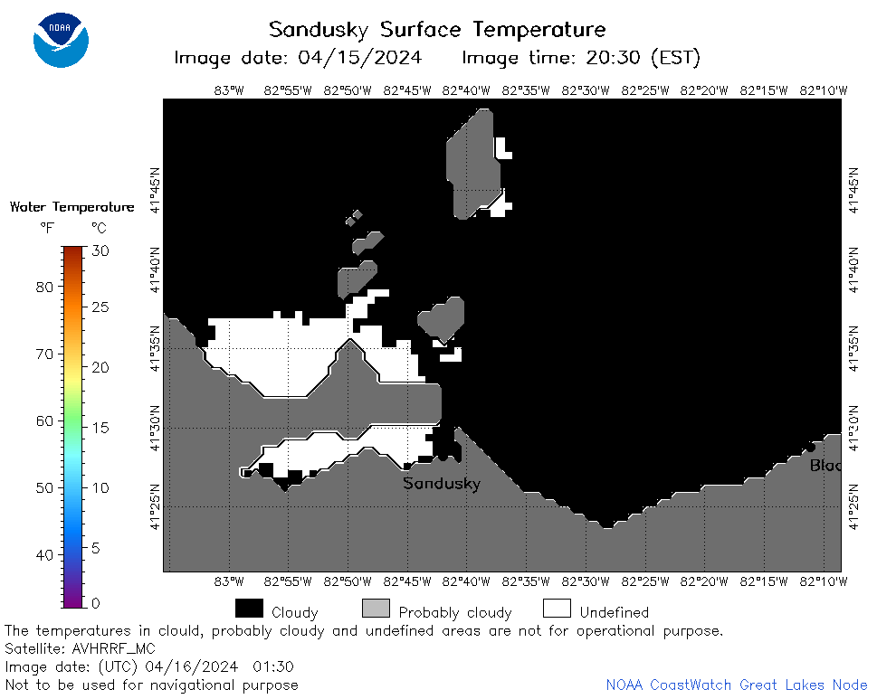 | e12_2024_04_16_0130.png | 16-Apr-2024 06:29 | 19484 | |
 | e12_2024_04_16_0220.png | 16-Apr-2024 06:31 | 22550 | |
 | e12_2024_04_16_0310.png | 16-Apr-2024 06:33 | 19416 | |
 | e12_2024_04_16_0600.png | 16-Apr-2024 09:26 | 18199 | |
 | e12_2024_04_16_0630.png | 16-Apr-2024 09:29 | 29337 | |
 | e12_2024_04_16_0740.png | 16-Apr-2024 11:26 | 34915 | |
 | e12_2024_04_16_0810.png | 16-Apr-2024 10:26 | 34606 | |
 | e12_2024_04_16_0920.png | 16-Apr-2024 12:26 | 18209 | |
 | e12_2024_04_16_1430.png | 16-Apr-2024 18:27 | 18206 | |
 | e12_2024_04_16_1440.png | 16-Apr-2024 18:30 | 19158 | |
 | e12_2024_04_16_1530.png | 16-Apr-2024 18:32 | 22445 | |
 | e12_2024_04_16_1710.png | 16-Apr-2024 21:27 | 18195 | |
 | e12_2024_04_16_1730.png | 16-Apr-2024 23:27 | 23633 | |
 | e12_2024_04_16_1750.png | 17-Apr-2024 01:27 | 25868 | |
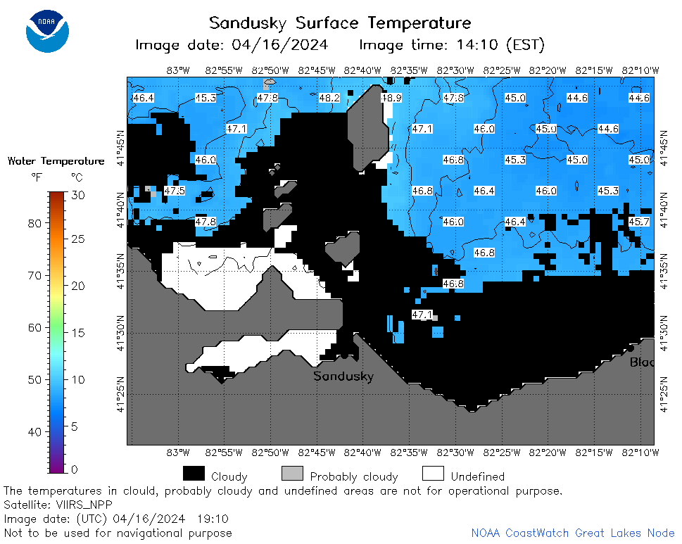 | e12_2024_04_16_1910.png | 17-Apr-2024 00:28 | 30450 | |
 | e12_2024_04_16_1930.png | 16-Apr-2024 23:29 | 22493 | |
 | e12_2024_04_16_1940.png | 16-Apr-2024 23:31 | 18227 | |